


A couple areas of thunderstorms Tuesday afternoon and evening produced at least two tornadoes, along with dozens of reports of wind damage and even large hail.
The National Weather Service in Cleveland is surveying potential tornado damage in Hancock, Huron and Lorain Counties on Wednesday.
The first tornado NWS meteorologists found began a half-mile south of Rawson in Hancock County, which then lifted 7 miles later a quarter-mile west of the Findlay Airport. They rated it EF-0, having damaged or destroyed two barns and blowing down several power poles and trees.
A second tornado was confirmed by the NWS Wednesday afternoon in Huron County, three miles southwest of Monroeville. Touching down along Sand Hill Road, this tornado didn’t travel quite as far as the one mentioned above, with a path length less than a half-mile.
However, the damage reports proved that this tornado was stronger than the first, and was rated as an EF-1 for blowing down several trees and power lines, as well as two grain bins.
Survey crews continue to look at damage in nearby areas to determine if it was caused by a tornado or straight-line winds.
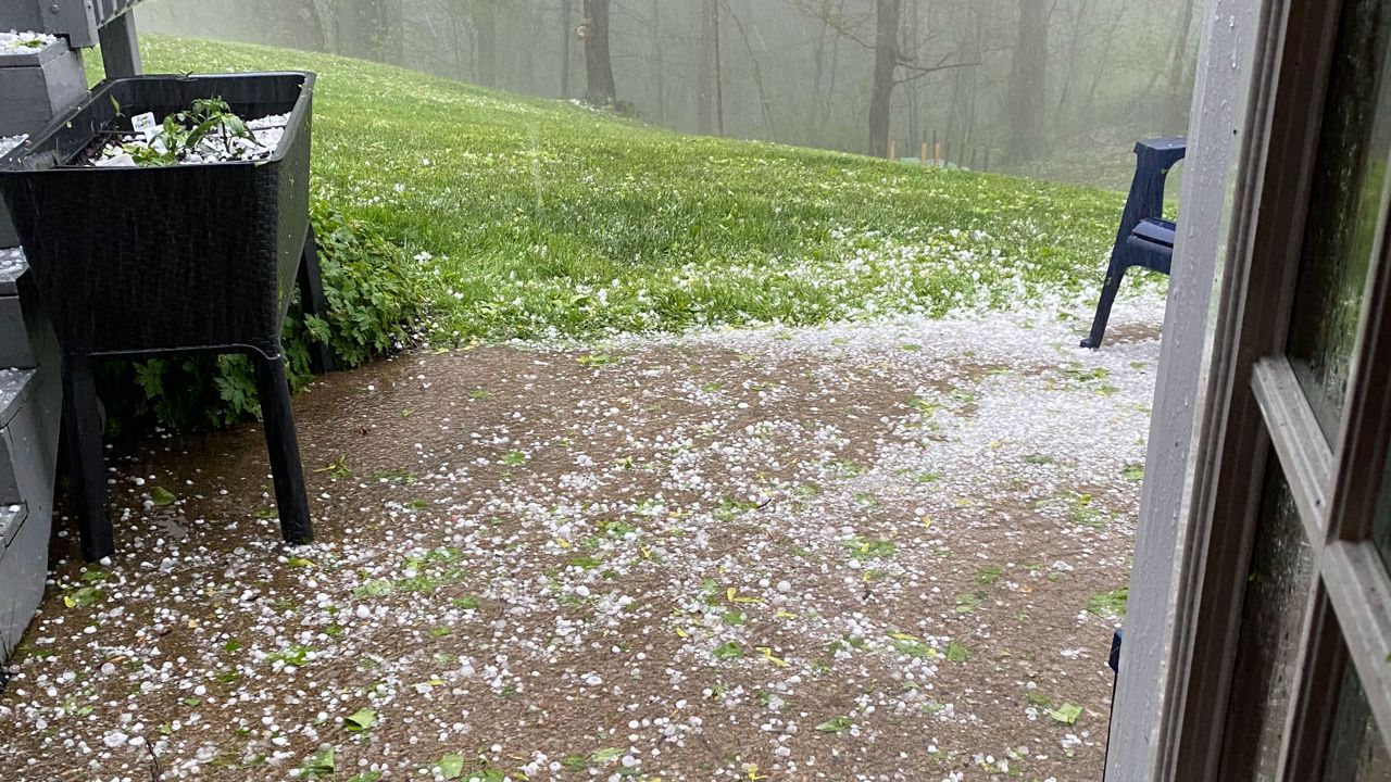
Fairfield County had the largest hail, as big as 2- to 2-and-a-half inches wide. That's about the size of an egg or tennis ball.
Trees received most of the wind damage; however, the wind overturned about 10 campers at an RV dealership in Jeffersonville and damaged a silo and barn in Fairfield County.
See Tuesday's storm reports with the interactive map below, and click or tap on an icon for more information. You can also see a list of storm reports here.
If you have storm damage photos to share, please send them to us. Stay aware of severe weather by turning on your weather notifications in the Spectrum News app.