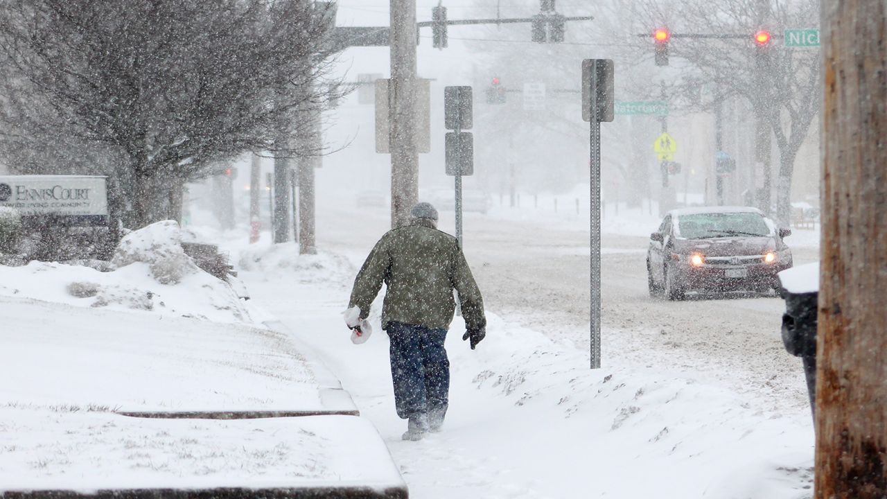
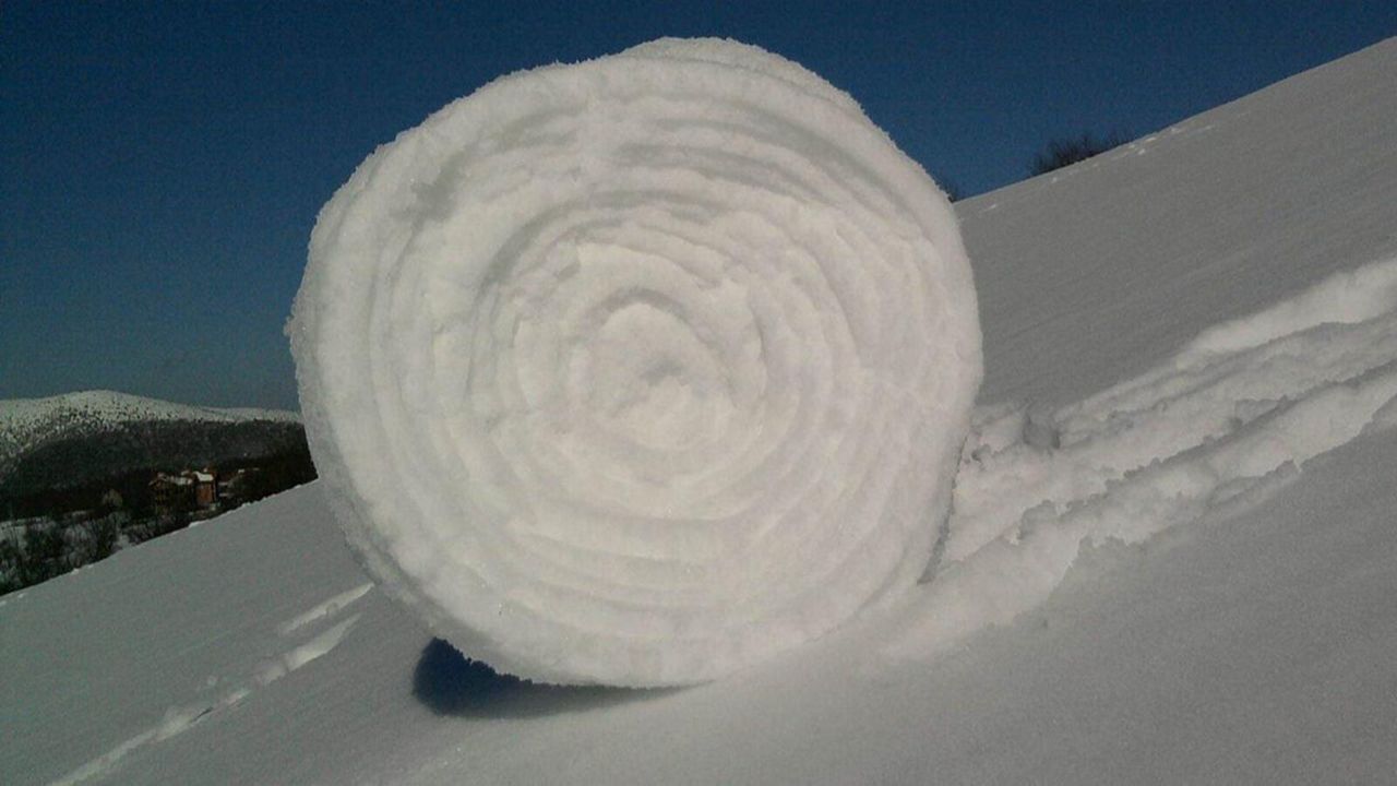
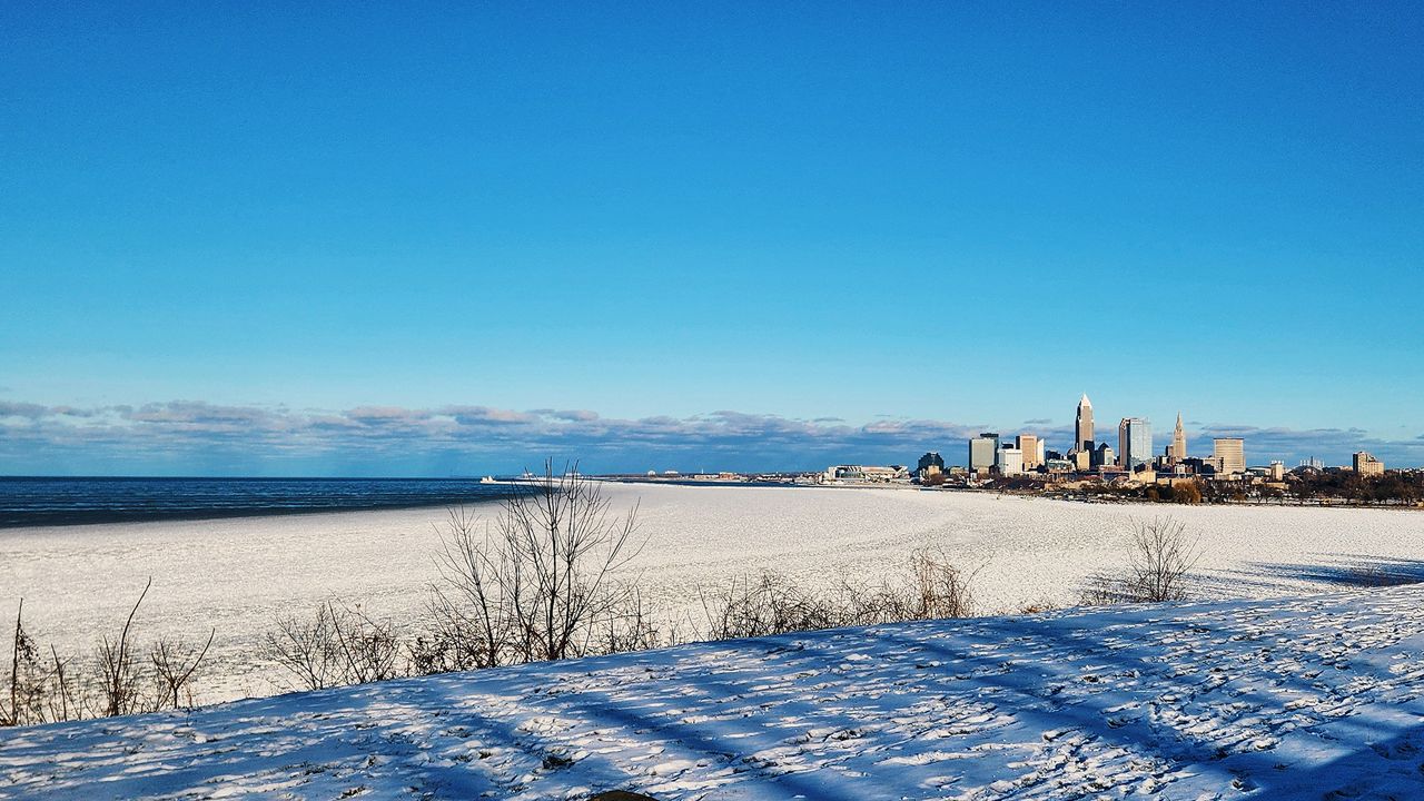
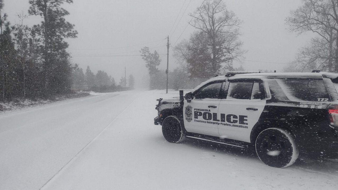
A complex winter storm brought rain, freezing rain, sleet and snow to Ohio. Snow was heaviest in the north, while ice was more common farther south.
Check out the interactive map of winter weather reports. These are all the amounts that came into the National Weather Service between the morning of Thursday, Feb. 3 and the early afternoon of Friday, Feb. 4.
Blue snowflake icons are snowfall reports, purple circles are sleet reports and pink rain clouds are freezing rain reports. Click or tap on an icon for more information.
Justin Gehrts - Senior Weather Producer
Justin Gehrts is a senior weather producer for Spectrum News. He has well over a decade of experience forecasting and communicating weather information. Gehrts began his career in 2008 and has been recognized as a Certified Broadcast Meteorologist by the American Meteorological Society since 2010.


