


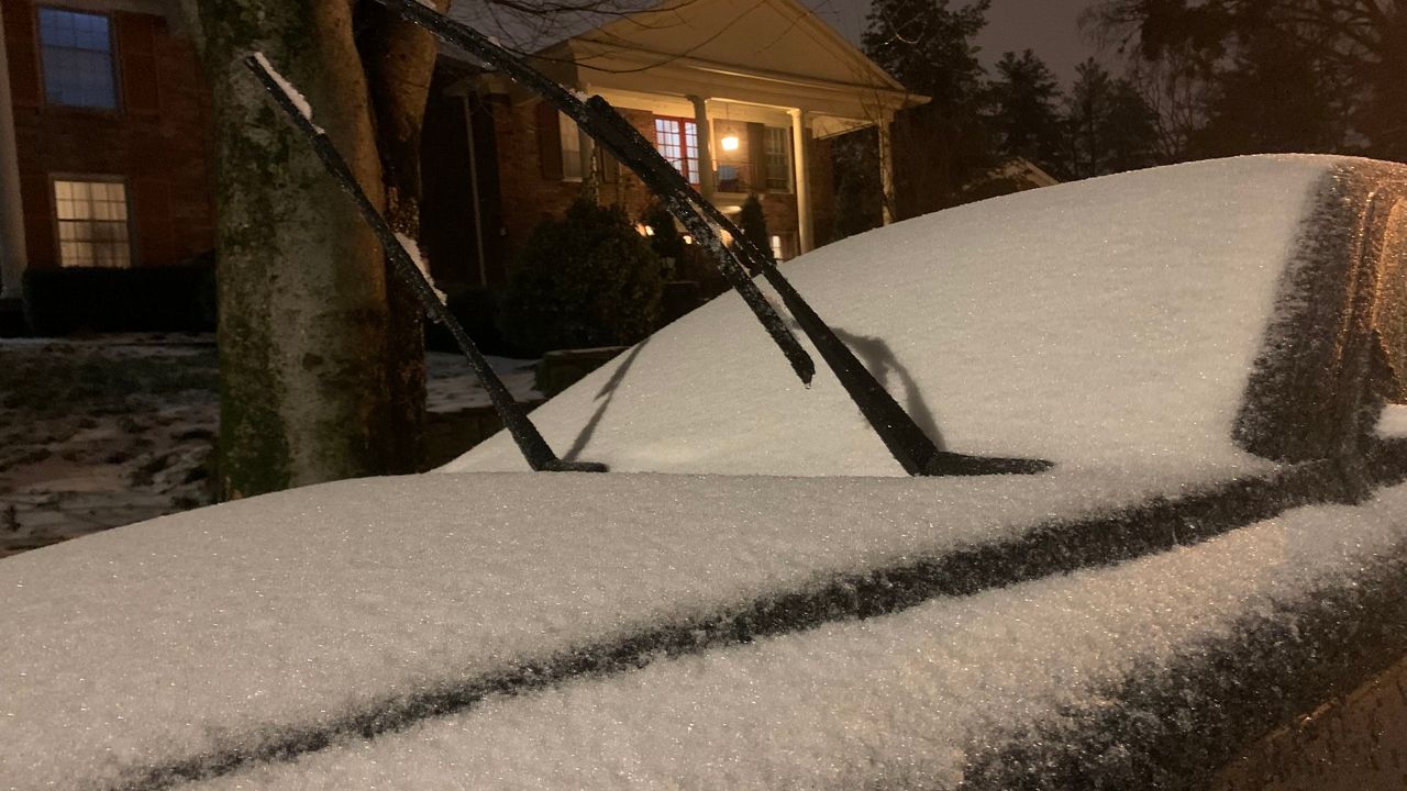
Snow, heavy at times, continues to move across much of Ohio. Southeast of I-71, there has been a mix of sleet and freezing rain.
Heavy rain has caused flooding issues in far southern Ohio.
The entire state is under a Winter Storm Warning, along with an Ice Storm Warning in the south, until Friday morning.
There is a high level of concern as freezing rain and sleet fall in parts of the Ohio Valley. Areas along I-71 and southeast could see significant ice accumulations even before all precipitation changes to snow.
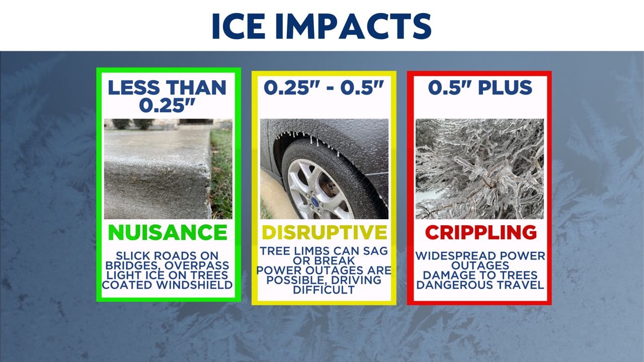
As of 8 p.m. Thursday, there were nearly 70,000 power customers without electricity across southern Ohio due to severe icing.
Ice will continue to cause major problems not only with icy roadways but also on tree limbs and power lines. Areas in southeastern Ohio will see less snow but could pick up a half-inch to an inch of ice.
Farther to the north for places along I-70, it's a different tale as sleet changes to mainly snow. Our higher snowfall totals remain in northern Ohio.
Winds will also be very gusty at 20-40 mph, so blowing and drifting snow will be a big issue for road crews and drivers.
Expect very tough travel conditions Friday morning, and many schools and universities have already canceled classes.
Arctic air, fresh snow and ice on the ground will make things very cold Friday night into Saturday morning.
)
Actual air temperatures will be below zero in some spots.
Right now though, the weekend will be dry and give us a chance to dig out and recover from this snow and ice event.
Go here to sign up for weather-related notifications on your phone from the Spectrum News app.