


Across Ohio, much of the last few weeks have been very gray, and very gloomy. That means that as much as we haven't warmed up, we haven't seen temperatures drop, either.
What You Need To Know
- Current Lake Erie ice cover is well below normal
- A prolonged stretch of Arctic air is needed to cause significant freezing
- Temperatures are forecast to fall this weekend
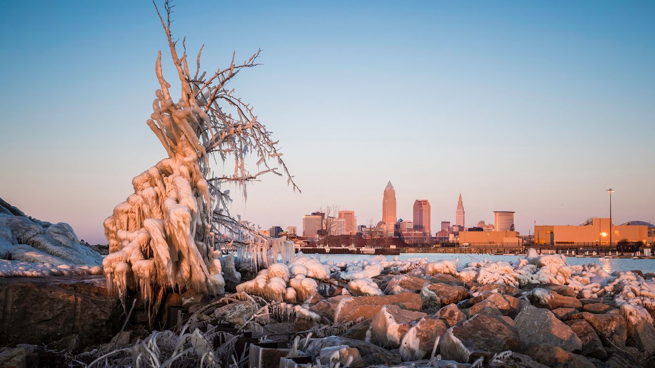
In Cleveland, we have yet to drop into the teens this season, which quite unusual by this point in January. Without that Arctic air, significant ice has yet to appear on Lake Erie.
As of January 13, just 0.4% of the lake was ice-covered. The average surface temperature on the lake was 37.2 degrees, meaning we're going to have to see a prolonged stretch of Arctic air if we are going to see significant Lake Erie ice this year.
Average ice cover for this point in the year is about 40%. By the end of January, we typically see just below 50% of the lake ice-covered. The third week of January is, on average, the coldest week of the year in Ohio.
So, how much freezing could we see?
Typically, ice concentrations are highest in mid-February. At that point, days are getting longer and stretches of prolonged cold air begin to shorten.
In order to see significant freezing, it's going to take about two weeks of Arctic air in place. While colder air does return this weekend, it's looking like we will see another year of well below average ice cover.
That means lake-effect snow events will continue, potentially right on into the spring.
While in recent years, we've certainly had some cold winters – and as a result, more ice on the lake – the overall lack of ice on the lake seems to be becoming more common. In the last 10 years, three years have had a maximum ice cover of less than 40%.
The last year we saw at least 90% ice cover was 2019.