You're used to seeing us on your TV screens for hours at a time covering tornadoes and severe thunderstorms in the spring and summer. But sometimes, a mid-fall secondary severe weather season can be just as prevalent here in Ohio.
What You Need To Know
- A secondary severe weather season exists in Ohio in the mid-to-late fall
- The cause: a sinking upper-level jet clashing with warm, moist air
- Some very significant severe weather events have occurred in November
- The chances of severe weather decrease once we get into December
While the months of April, May, and June may be the most active, severe weather is often also seen in late September and early October through the end of November as the jet stream shifts southward.
When the upper-level jet moves southward for the winter, the Northern Hemisphere begins to "cool down". As this happens, we frequently see cold fronts interact with the relatively warm and moist air that can still be in place.
The clash of the two different air masses can produce severe thunderstorms with damaging winds, hail, and even tornadoes.
In fact, some of the biggest tornado outbreaks in Ohio (among other states) have occured in the month of November.
Go back just a few short years, and you'll find the tornado outbreak of November 5, 2017 here in Ohio. On that Sunday, a powerful cold front moved through the Great Lakes region and clashed with unseasonably warm and humid air that was already in place.
As the front progressed across the Ohio Valley, a line of severe storms developed along the boundary.
At speeds of nearly 70 mph, these storms made a fierce move east, causing straight-line wind damage in many areas, including Findlay, Kipton, and perhaps most significantly, Boardman in Mahoning County, where a microburst created winds of nearly 100 mph, causing widespread damage.
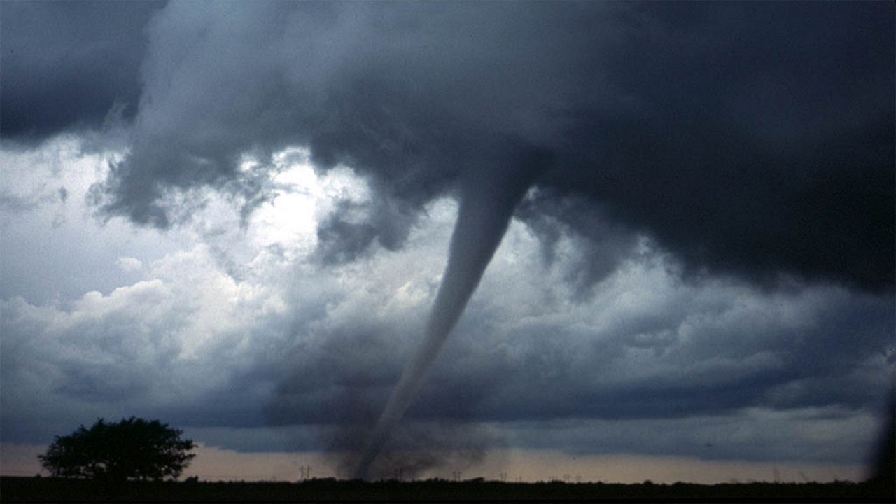
Some of these storms became tornadic as well, with 14 confirmed tornadoes when all was said and done. This included three EF-2 tornadoes, in Crawford, Seneca and Ashtabula counties.

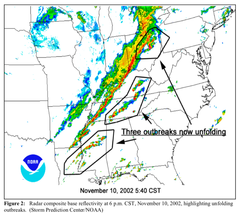
Back even further, many of you might remember the Van Wert tornado in November of 2002. Along a cold front and a line of severe storms, this immense funnel was on the ground for nearly 53 miles and produced EF-4 damage in Van Wert County.
The wedge-shaped tornado damaged or destroyed hundreds of homes and businesses in Van Wert, before causing more damage in Defiance and Henry counties.
In Paulding County, this very tornado left only one structure standing in the small community of Roselms, Ohio.
The truth is severe thunderstorms, and even tornadoes, occur year-round and have been recorded in Ohio even as late as December and as early as January.
All it takes is an unseasonably warm air mass, followed by a push of colder, drier air to create some of the necessary ingredients to form strong cold fronts and severe storms.
The fact that we set record highs in early November, followed by just some light rain (no severe weather) to transition to cooler weather this month was rare in and of itself-- although I'm sure there are no complaints!
In order for severe weather to occur, we need several key ingredients. Warm air, moisture, and for tornadoes, wind shear, are among some of them.
The winter season generally deprives us of those, which is why tornadoes are more rare the deeper into winter we get. Once we get past December 1, this secondary severe weather season comes to an end, and the chances that we see tornadoes decrease significantly.
Then of course, it's on to lake-effect snow, squalls, and (dare I say it!) blizzards. Although right now, none of that is in the forecast for the foreseeable future.


