


We're entering a point in the year when foggy mornings become increasingly common.
What You Need To Know
- Fall and early winter are common months for fog in Ohio
- Several types of fog can form
- Fog can reduce visibility, causing accidents
- Dense fog is most likely from September to January
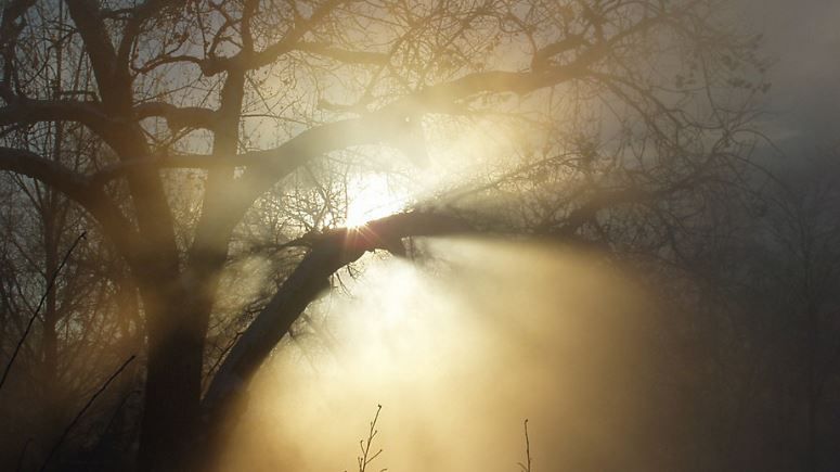
Fall through early winter is the most common time of year for fog in Ohio, where we can see anything from a thin haze to a dense fog which can cause numerous automobile and aviation accidents.
The months from September to January are particularly prone to dense fog, where visibility is reduced to a quarter-mile or even less.
A simple definition of fog is that it's a cloud right at or just above the Earth's surface. It often has the appearance of a stratus cloud, just a particularly low one.
However, "fog" isn't a one-size-fits-all definition. Numerous types of fog can form, some of which are extremely common, and others that are rarely seen.
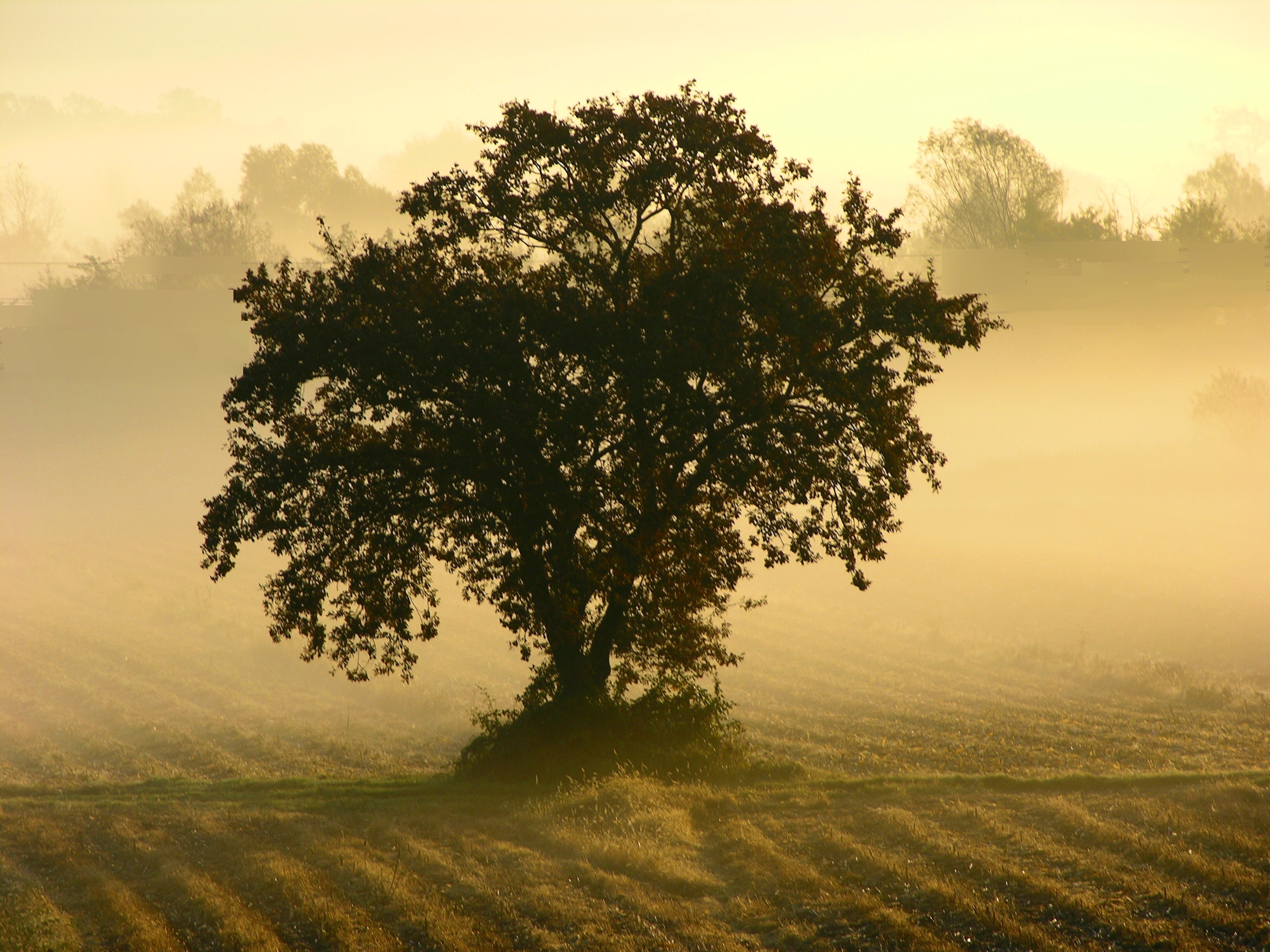
The most common type of fog we see in Ohio is radiation fog.
This is the type we see a lot when skies are clear overnight, and temperatures can quickly and efficiently drop. Winds are also light, but not calm (that results in a heavy dew), and are often seen under a temperature inversion.
An inversion is where the air temperature gets warmer as you go higher in the atmosphere. At that level, fog will not form.
As the air near the surface cools to the dew point, tiny droplets of water vapor will become suspended in the air near the ground.
This type of fog will often begin to lift shortly after sunrise as the ground starts to warm up from the sun. Usually, by a few hours after sunrise, visibility will return to normal.
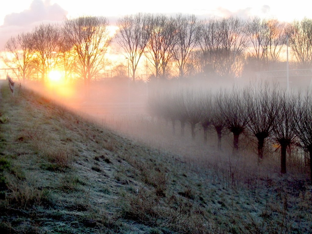
Another type of fog is known as advection fog. In this case, moist air moves over a cold surface.
That moist air will quickly condense, and fog will form. This is seen frequently when a warm front moves over an area of snow on the ground.
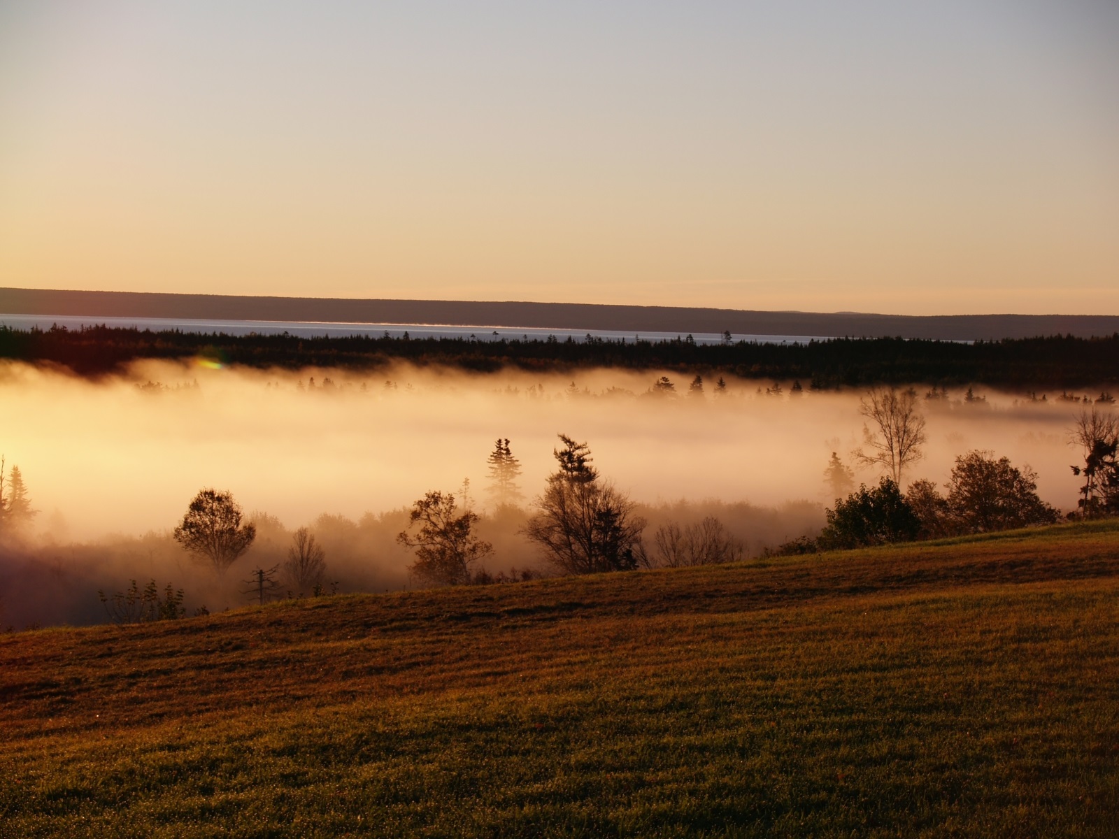
Evaporation fog forms when a cold, stable layer of air moves over a relatively warm body of water.
The air just above the water's surface carries more moisture, and as the cold air moves in, condensation occurs. This can frequently be seen along Lake Erie in the fall and early winter as cool, Canadian air moves over the lake.
Finally, upslope fog can form when moist air is pushed upward after encountering a mountain or even a large hill. Areas of Southeast Ohio can see this on the windward side of hills.
The moist air moves upslope, the air cools as it climbs, and once it cools enough, fog forms.
We see many foggy days here in Ohio, but one of the foggiest places in the world is in Grand Banks off Newfoundland.
Here, the cold Labrador Current comes in from the north and meets up with the Gulf Stream, carrying warm, moist air from the south. This area sees an average of 200 foggy days per year.