


OVERVIEW
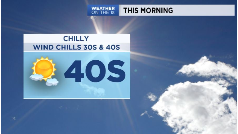
Welcome to the weekend! It's a chilly start Saturday morning with temperatures starting out in the upper 30s to low 40s with wind chills as low as the 30s in some northern spots! Sunny morning quickly becomes a cloudier afternoon with another round of rain chances late Saturday into Saturday night. A quick moving clipper system will bring showers across western and mid Ohio by late afternoon into this evening. Showers track into NE and eastern Ohio into tonight. This system doesn't last long, showers likely overnight and exit by mid morning Sunday. This is not expected to be a big rain marker for the Ohio valley.
Most of Sunday will be dry however temperatures will be below average! Highs Sunday in the upper 40s across NE Ohio and 50s elsewhere so keep the jacket around for your weekend ahead!
Setting up for another wet pattern next week with showers and even storm chances especially mid week as temperatures return to above normal in the 70s, near 80 to the south.
Saturday –Sunny and chilly start! Bundle up early with wind chills potentially in the 30s! Clouds increase this afternoon with showers possible in western and mid Ohio late day.
Tonight –Mainly showers overnight. Wet snow/mix to the north is possible, but overall, isn't likely as temperatures stay above freezing. Lows in the upper 30s to mid 40s.
Sunday –Showers taper off early. Mainly dry Sunday afternoon and cool below average. Highs in the upper 40s to 50s further south.
Monday–Rain and even some storm chances increase throughout the day into Monday night. Highs rebound into the 60s and 70s,
Tuesday-Warmer with scattered rain and the chance for thunderstorms. Highs near 70.
Wednesday-Scattered rain and thunderstorms. Warmer with highs in 70s.