


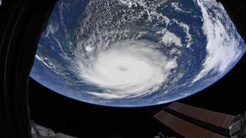
September 10 marks the day of the year most likely to have a named storm in the Atlantic. In fact, there has been an active storm on this date in about three of every four years. This is thanks to an important set of ingredients that are needed for a hurricane or tropical storm to form in the ocean.
First off, this is the time of year when water temperatures in the Atlantic Ocean and the Gulf of Mexico are incredibly warm. Hurricanes are fueled by the warm, moist tropical waters. Water temperatures must be 80° or you won't see formation. As Hurricane Dorian was moving through the Caribbean, water temperatures were closer to 85°, part of the reason the storm was able to intensify so quickly.
However, it takes more than just warm water. There also has to be a lack of strong wind shear, which is a difference in wind speed and direction as you move through different levels of the atmosphere. If shear is too strong, it will rip apart a storm before it can develop. This is also the time of year when you see numerous tropical waves, or clusters of thunderstorms, coming off the coast of Africa.
The peak months for formation are from August to October, so we could still see several more named storms before the season is over.
Currently there is only one named storm, Gabrielle, and it poses no threat to the U.S. There are three other waves that the National Hurricane Center is monitoring, one of which has a 30% chance of formation in the next 5 days.