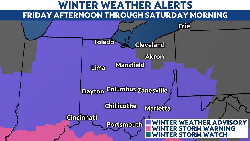
OHIO — We are going to bookend this work and school week with snow!
Even though our Friday storm is not as intense as Sunday/Monday, it will impact our roads through Friday evening.

Snow will eventually win out over some dry air we have in place.
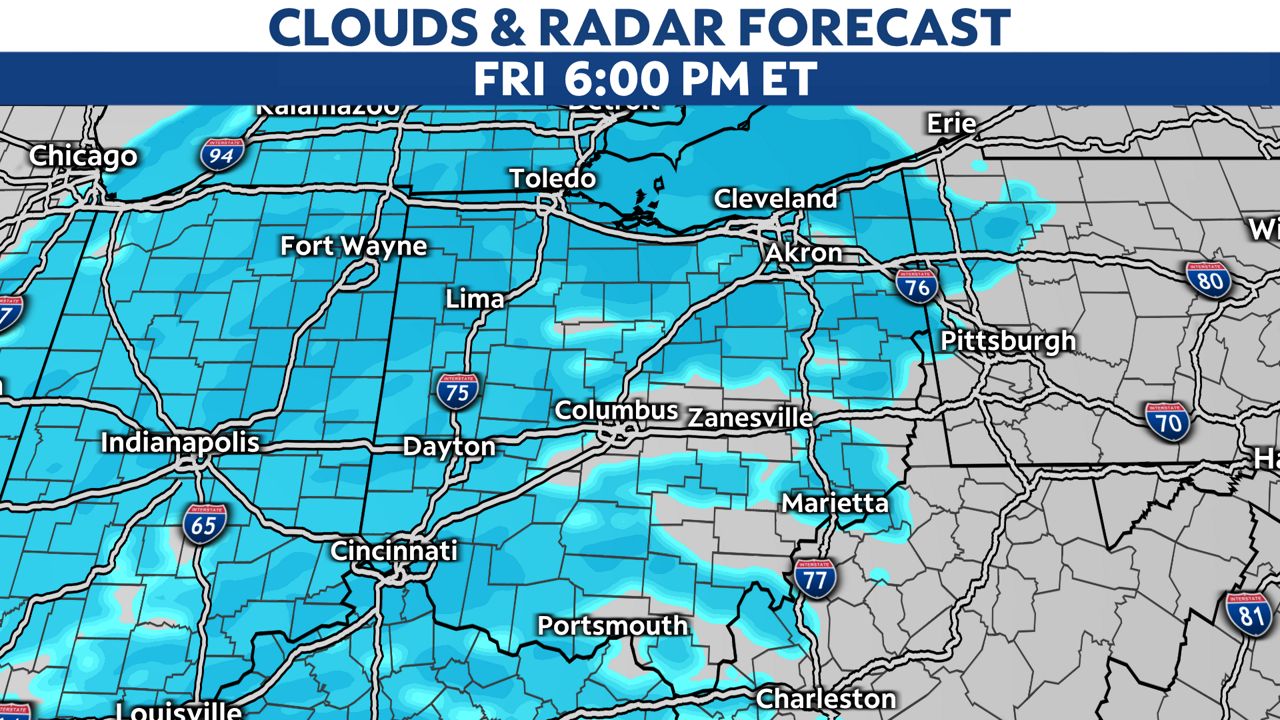
This means we start with flurries and light snow then eventually more widespread accumulating snowfall will come in for the late afternoon and go through the late evening.
The heavier snow will be near the Ohio/Indiana border between 2 p.m. to 3 p.m.
At times in our western counties during the late afternoon-early evening, we could see snowfall rates ½ inch per hour.
This could lead to quickly changing road conditions, low visibility and just an overall snowy commute near I-75.

That area of heavier snow will move into Columbus between 5 p.m. to 6 p.m. and Cleveland between 8 p.m. to 9 p.m.
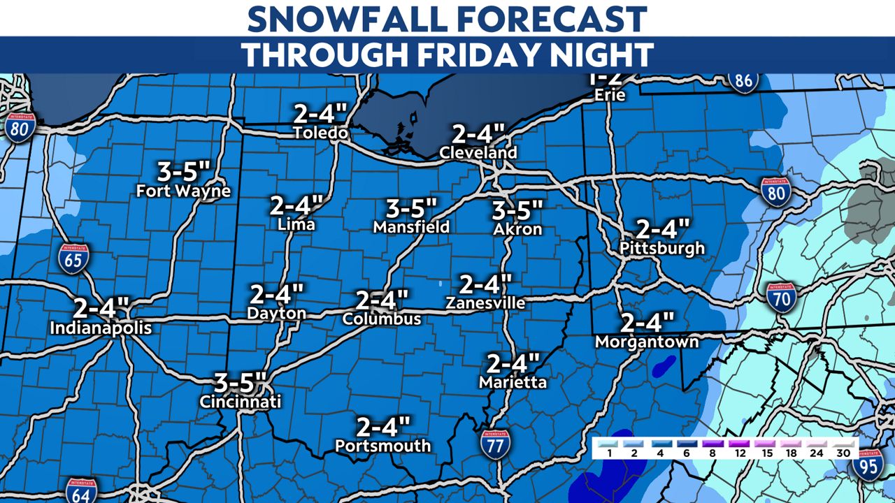
We are looking at storm totals 2-3 inches statewide, with slightly less in our far northeastern counties.

A few pockets up to 4 inches are possible where we see some heavier bursts of snow.
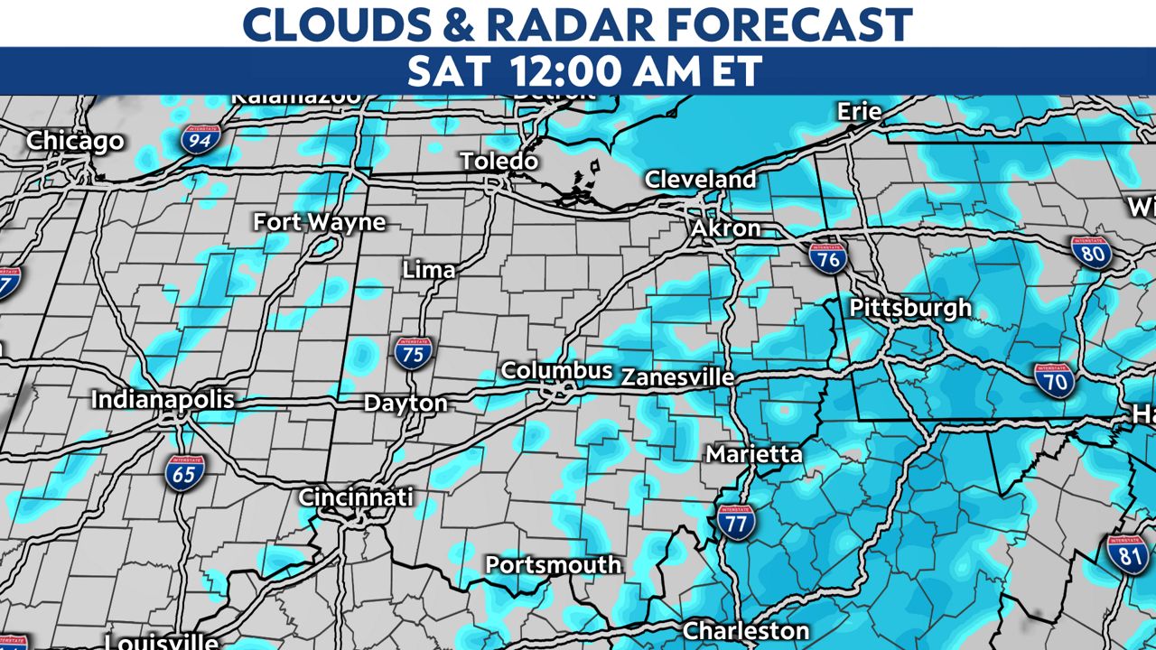
Storm system snow will taper off overnight but lake-effect will move in Saturday morning through the evening.

Some light accumulations 1-2 inches for the snowbelt and just flurries and clouds for most of us.
We may see some light snow on Monday from a weakening system but we need to watch for some Arctic air surging in Monday night into early Tuesday.
This will drop highs into the teens and lower 20s through mid-week with more single digit lows.


