OHIO — Our next winter storm approaches the Ohio valley Friday with more widespread snow showers.

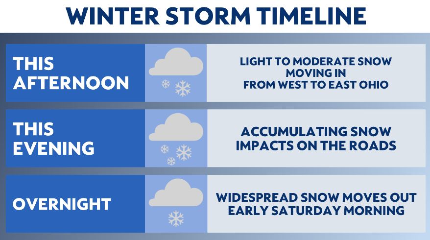
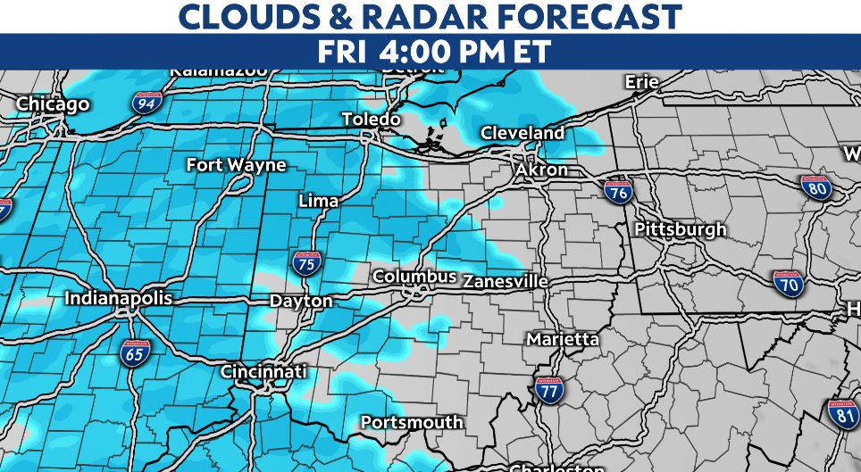
This system begins around lunchtime in parts of SW Ohio with some light snow showers, but nothing really sticks to the roads until mid-afternoon as the snow picks up.
Snow will spread from west to east through mid-afternoon. Timing will be from 3 p.m. to 5 p.m. — this will not be favorable timing for your evening rush hour. You'll want to plan ahead for snow increasing coverage and intensity through your dinner forecast.

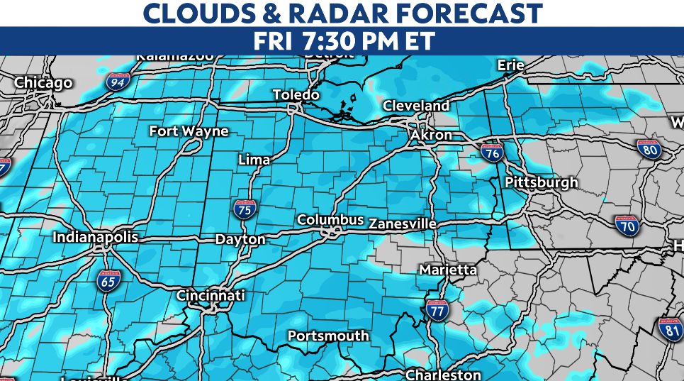
Mainly after 3 p.m. to 5 p.m., snow will begin to accumulate and stick to the roads and surfaces quickly. Conditions are impacted with potentially lower visibility as moderate snow is expected all evening. Plan and travel accordingly.

The worst of the event is from 5 p.m. to midnight, with travel conditions that could deteriorate rapidly with moderate snowfall.
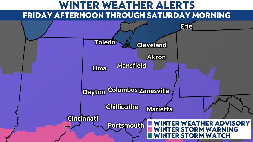
Majority of the state is now under a Winter Weather Advisory starting Friday afternoon through early Saturday morning.

We'll wake up to most of the snow gone by sunrise Saturday, and lake effect will persist in NE Ohio on/off Saturday.
Accumulating snow ranges from 2 to 4 inches. There are spots that could see another 5 inches of snow by Saturday morning, especially in SW Ohio.
While most of the state will be calm over the weekend, lake-effect snow showers will be possible in the Snow Belt of northeast Ohio and may add some additional accumulation.
With more wintry conditions in the forecast, keep it tuned to Spectrum News for the very latest weather information.


