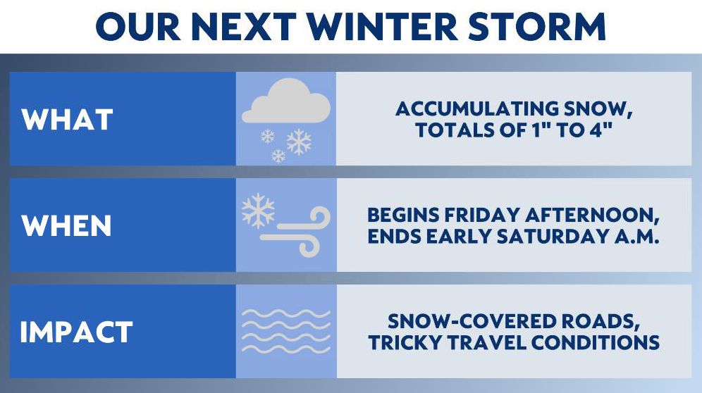
OHIO — Another round of snow coming in sooner than some would want after the larger winter storm earlier this week! Our upcoming storm won't be as major in Ohio, but it is still a impacting storm and will bring accumulating snow across much of the state starting early Friday afternoon.

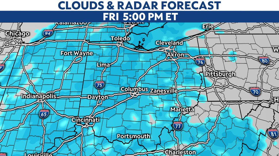
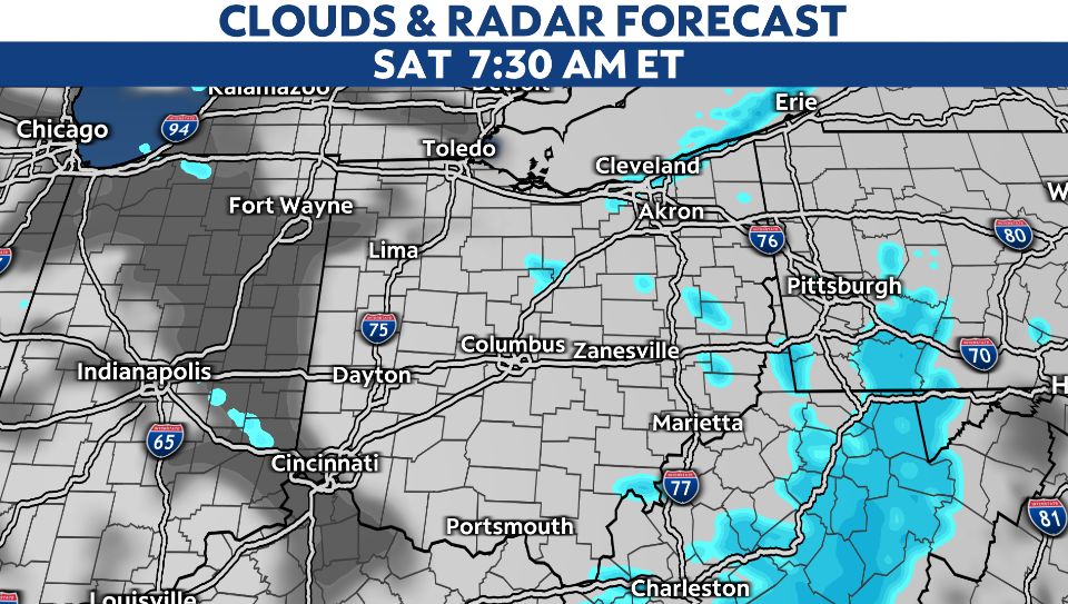
This winter storm is crossing the United States, bringing major impacts to Texas and several southern states. We will be on the northern edge of this system with a period of snow arriving from west to east on Friday afternoon and exiting around sunrise on Saturday morning.

We'll be on the northern end of the approaching low pressure system so all precipitation is snow as our temperatures also remain very cold. With colder temperatures than the previous storm, our snow is expected to be a white, fluffy snow.
Snow quickly accumulates by Friday evening rush hour for Ohio, roads will be impacted.

Snowfall totals will not be as much as our last winter storm. However, we can expect a general 1 to 3 inches of accumulation across Ohio. Locally higher amounts of 4 or perhaps 5 inches are certainly possible.
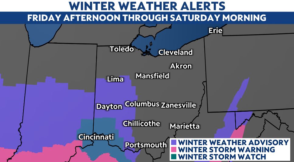
Winter alerts are in place for parts of western and SW Ohio where there will be the higher snow fall possible. A Winter Storm Watch is in effect for Cincinnati and counties in SW Ohio where snowfall totals range from 3 to 5 inches.

After the system passes and the snow tapers off, wind gusts will increase out of the northwest into Saturday morning and afternoon which will lead to some blowing and drifting concerns on roadways in open and rural areas.

With more wintry conditions in the forecast, keep it tuned to Spectrum News for the very latest weather information.


