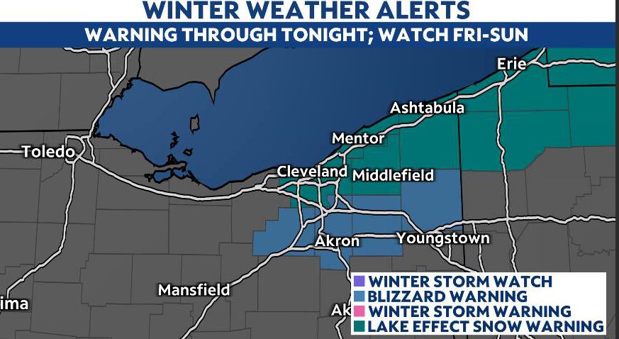
OHIO — In addition to continuing and at times heavy lake-effect snow, a quick clipper system arrives late tonight, bringing widespread snowfall totals of 1-2 inches for much of Ohio through Friday. With such cold air, that snow will quickly stick leading to some slick spots for your Friday commute.

While lake-effect snow continues in the snowbelt on Saturday, there's generally a lull before a significant winter weather event looks to start on Sunday.
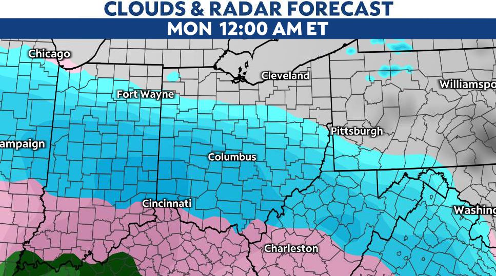
Snow accumulations look to ramp up on Sunday afternoon and continue through early Monday morning.
We'll continue to monitor the track of this system, but it does look like the biggest impacts from this storm system will be the southern half of the state, where totals of 6-8 inches or more are looking more and more likely.
Additionally ice and freezing rain will be a concern. The threat looks highest near the Ohio River based on current model runs.
Impacts will be lesser in the northern half of the state, but at least 1-2 inches are possible across our northern counties as well.
This is one to watch closely and take seriously.


