


CLEVELAND — With a shift in wind direction, there's a risk for rip currents across the lakeshore into the weekend. Expect rip currents and other beach hazards possible.
There's several alerts for beach safety through Saturday afternoon after a cold front moved through and shifted our wind direction.
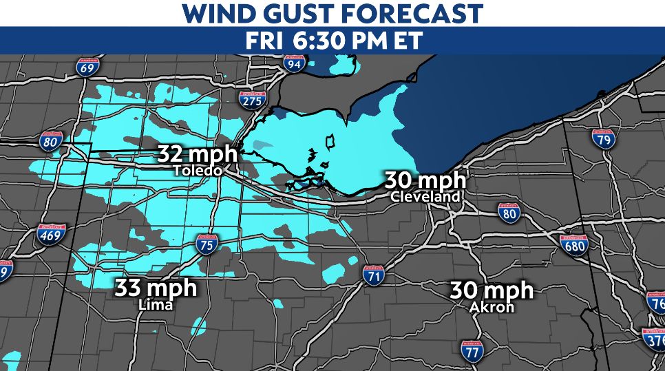
Most of the wind direction this weekend will be out of the northwest to western/northwest and will be gusty at times. Sustained winds through Friday will be between 10-20 mph and peak wind gusts up to 30-35 mph, mainly Friday afternoon.
This wind impact will create hazardous conditons and beach/boat goes should change plans to be out of the lake Friday and Saturday.
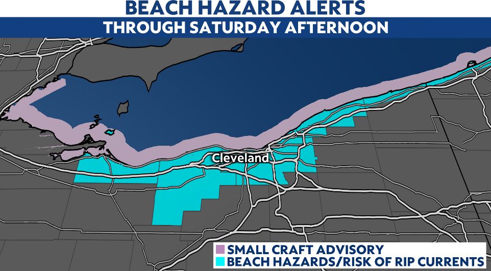
Rip currents are at a high risk and swimmers should not enter the water as currents can carry swimmers away from the shore through a sand bar and along structures extending out into the lake.
In addition to this, there's a small craft advisory in place through Friday evening. Strong winds can create waves up to three to six feet today.
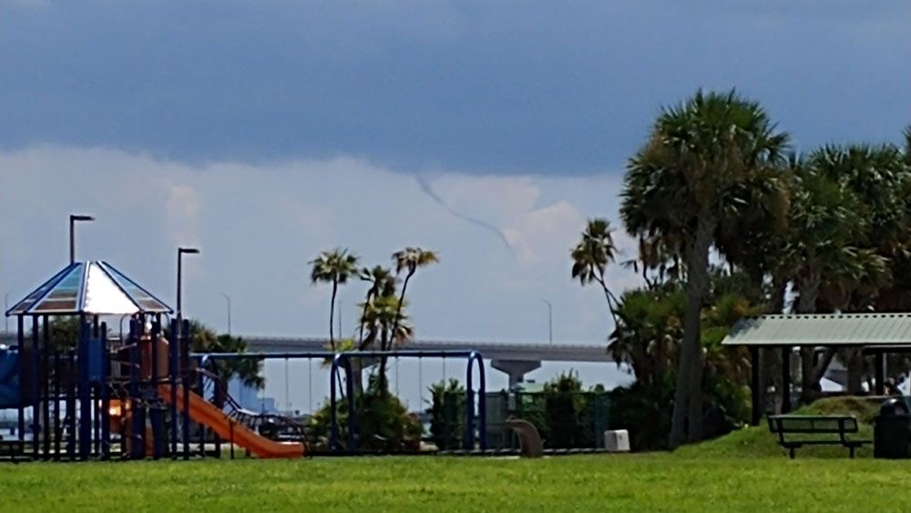
Finally there's a potential for a line of showers Friday is capable of producing brief watersprouts as cooler air filters in plus the wind direction our forecast does support this chance.