


CUYAHOGA COUNTY, Ohio — Cuyahoga County leaders want the public to have greater access to the Lake Erie shoreline and have begun taking steps to make that happen.
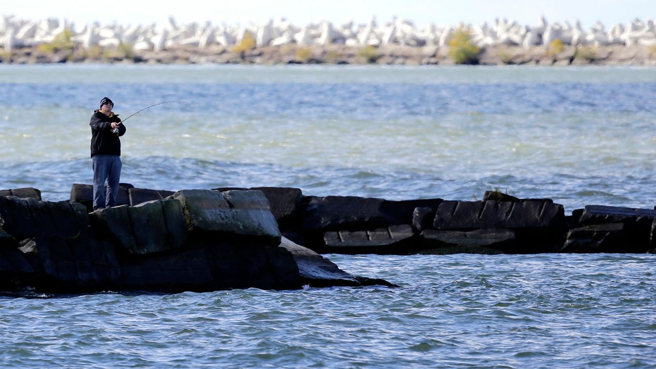
Currently, most of the Lake Erie shoreline is privately owned, the county reports, and about 90% is inaccessible to the public.
Residents are being asked to learn about the Lakefront Public Access Plan during a virtual public information meeting set for Thursday, Jan. 28 at 7 p.m. The meeting is accessible on the Cuyahoga County Planning Commission website.
Property owners along the shoreline are also asked to complete an online survey, which closes Feb. 1.
In addition to providing access to the lake, the plan aims to improve transportation networks along the shoreline while enhancing erosion control and shoreline stability, the county said in a news release.
County Executive Armond Budish announced the plan late last year, reassuring lakefront property owners the plan would not negatively affect them.
“Residents living on the lakefront will not have their view sheds changed or impacted by these plans,” he said, “and many property owners who may be struggling with erosion issues understand the value of maintaining the lakefront.”
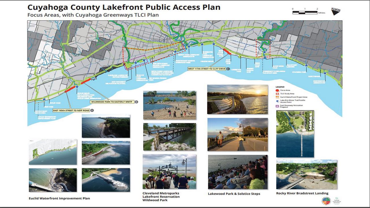
The plan involves about 30 miles of shoreline, from Lake County in the east to Lorain County in the west and encompasses Bay Village, Rocky River, Lakewood, Cleveland, Euclid and the Village of Bratenahl. The Huntington, Lakefront and Euclid Creek Cleveland Metroparks Reservations are also in the plan area.
The plan will focus on properties, roads and other infrastructure on the shoreline, and develop a network of interconnected bridges, roads, trails, boardwalks and paths, which Budish says could have a positive impact on the lives of Cuyahoga County residents.
“Having an accessible, inviting lakeshore enhances recreation options, beautifies our communities, and gives residents even more ways to interact with our beautiful lake,” Budish said in the news release. “I look forward to hearing what dreams and hopes residents have for this lake as we work to make it even better for all of us.”
To develop the plan, the county’s planning commission and public works department are working with SmithGroup, architecture and engineering consultants.
“The lake is our greatest asset, and strengthening our shoreline and providing improved access will benefit all of our residents,” Planning Executive Director Mary Cierebiej stated in the release.
Throughout development of the plan, the county says it plans to work closely with all entities involved.
Officials point to the “Euclid Model,” a public-private partnership the city of Euclid recently developed as a part of its ongoing Waterfront Improvement Plan.
Through coordination between property owners, business owners and the city, Euclid is developing a special improvement district along four miles of the city’s lakefront and building a publicly accessible waterfront trail.
For the Lakefront Public Access Plan, Cuyahoga County officials say they will elicit “robust public engagement” through ongoing meetings and activities to ensure the plan embodies a “unified, countywide vision for enhanced lakefront access.”
The county plans to post meeting videos, materials and FAQs on the project’s main page on the planning commission website.