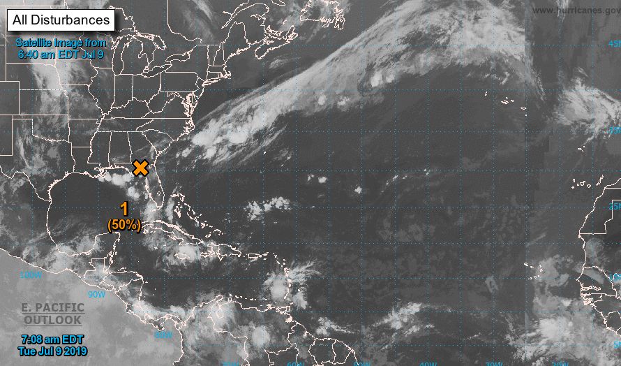
We've got our eyes on the tropics as an area of low pressure located over Florida Tuesday shifts westward into the Gulf of Mexico and could develop into a tropical depression or even a tropical storm as early as Wednesday.
Water in the nearby Gulf is very warm. Water temperatures off the Florida coast are already up to 84-85°. The minimum temperature of water for tropical development is 80°.
The National Hurricane Center is giving this system a 70% chance of development in the next 48 hours and that increases to 80% as we extend the window to 5 days.
The storm is not expected to intensify into a hurricane, but there is a threat of flooding for the Gulf coast from the Florida Panhandle all the way to Texas. Models are still not in good agreement about which areas will see the most significant impacts and coastal areas are keeping an eye on this system. The latest models are predicitng some areas of Louisiana could see 10" of rain, with large areas of the Gulf coast picking up 3-5".
Hurricane hunters could go out to investigate as early as tomorrow.


