At least Valentine's Day will be dry. Enjoy the dry, quiet weather before a very active pattern begins early Saturday.
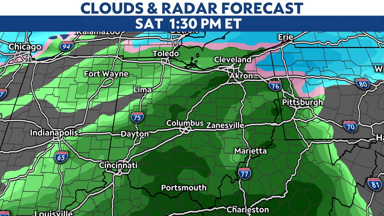
With our first round of precipitation coming in pre-dawn Saturday, parts of central and northern Ohio may see some freezing rain.
We'll need to watch for a few slick spots early before temperatures start to rise.
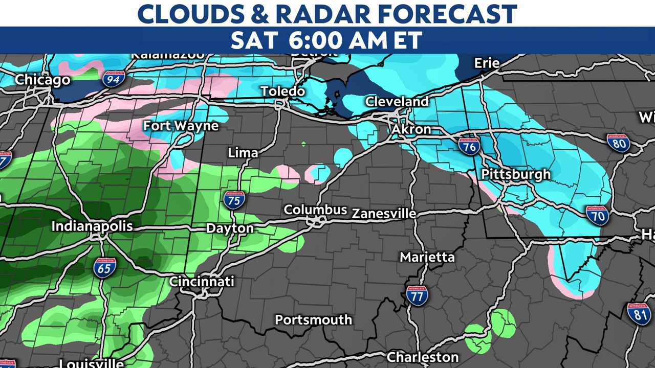
All rain seems to be the on the way with milder temperatures Saturday afternoon and evening and it looks like a soggy, wet day.
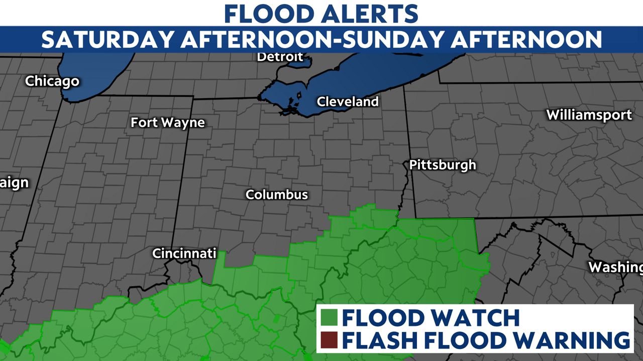
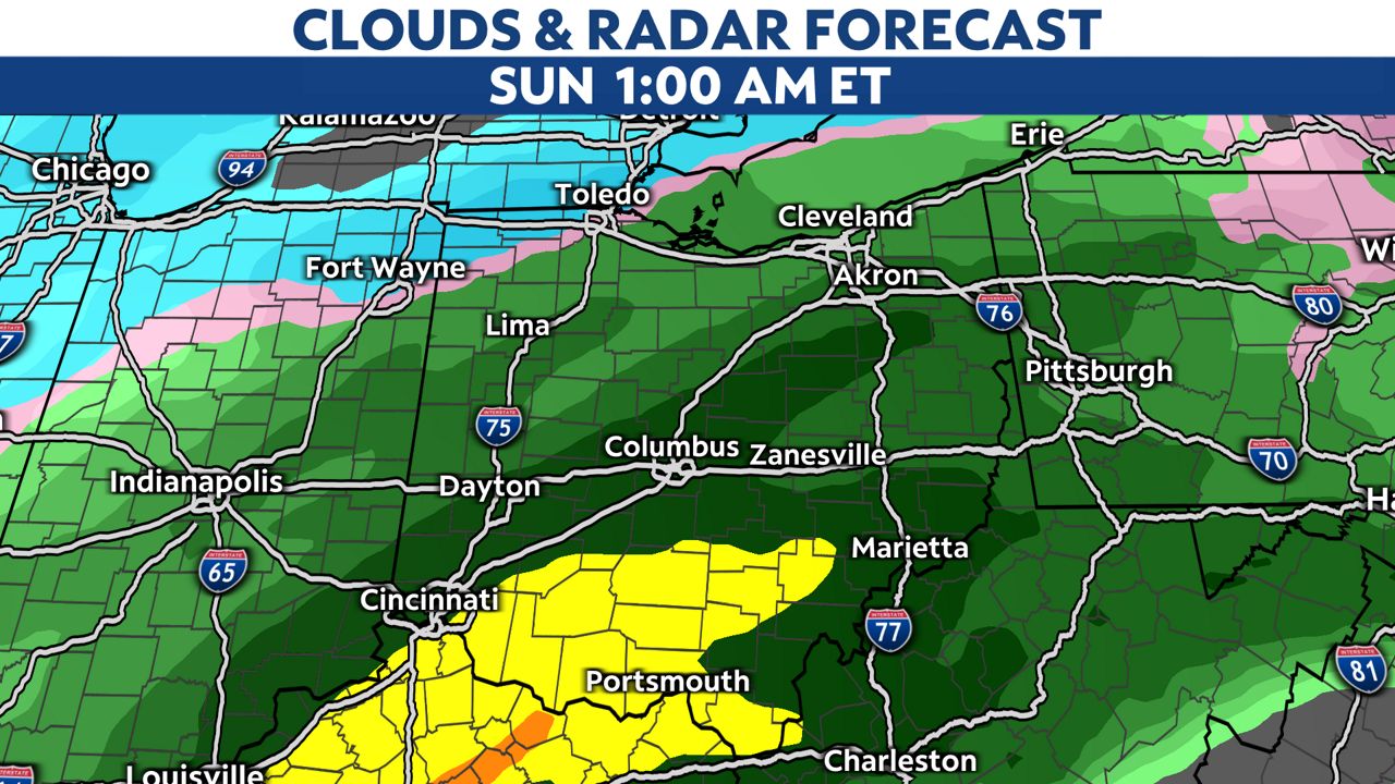
Some heavy rainfall near the Ohio River is possible around 1 a.m. on Sunday.
This may lead to some flooding, so flood watches are up beginning Saturday afternoon.
Rainfall totals for parts of south-central and southeastern Ohio may exceed 2".
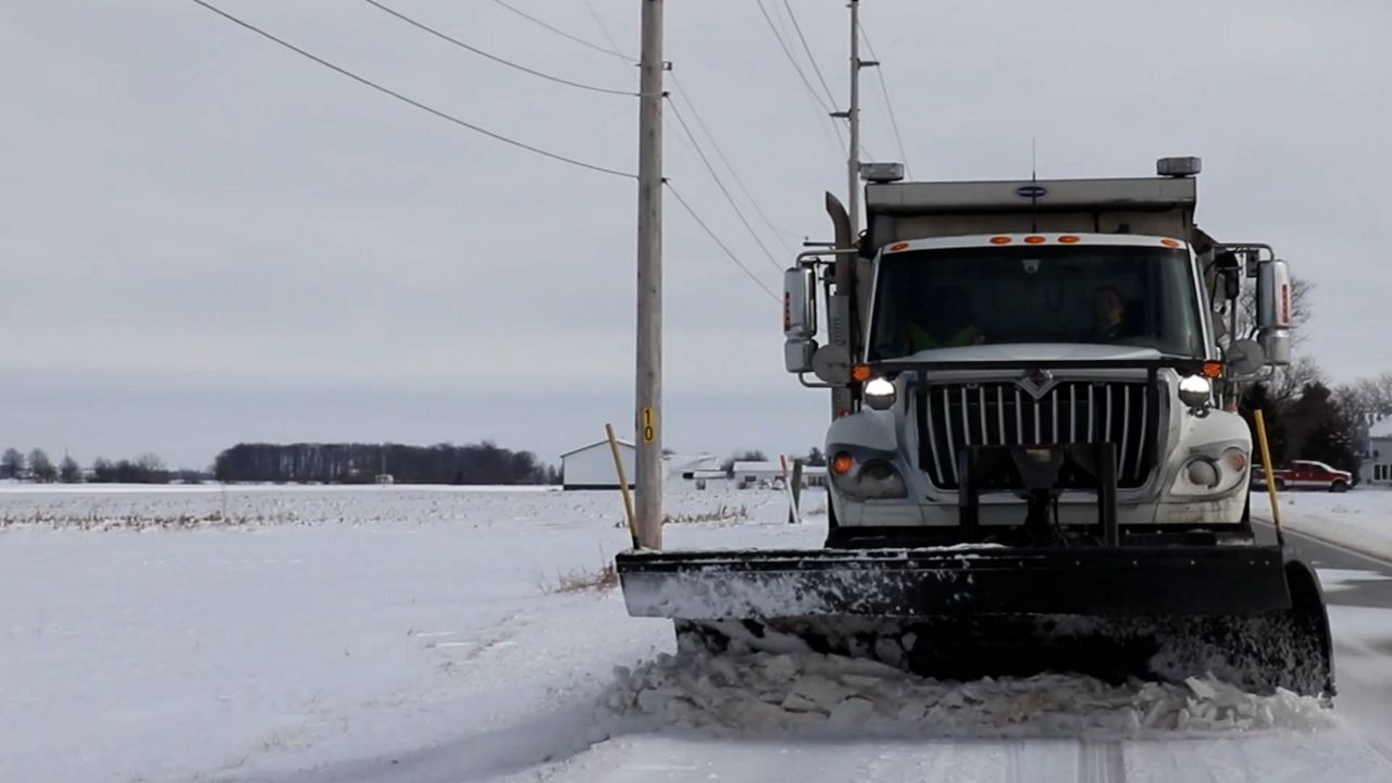
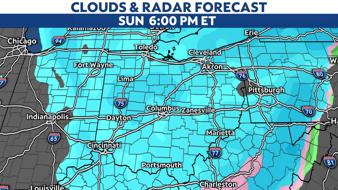
Cold air rushes in early Sunday, so we may see again some wintry mix or freezing rain before a change to all snow Sunday afternoon and evening.
Snow will taper off by early Monday, but our temperatures will begin to plunge.
Much colder air settles in for early next week with highs in the teens and single digit lows in some spots.
The bottom line: with three rounds of precipitation on the way, roads will be wet, slick or snowy at times this weekend.
Allow extra time for your weekend plans and get ready for some cold temperatures next week.