


Despite the quiet start to the weekend, a winter storm will likely impact travel conditions across portions of the Northeast early this week.
Another storm system developing off the Mid-Atlantic coast later on Saturday will make its way into southern New England, bringing more rain, snow and a wintry mix of both Sunday into Monday.
Much of the region will likely see rain or a wintry mix at the onset and through at least the first half of the day on Sunday as temperatures hover around the freezing mark.
Yet, colder air flowing in from the north will prompt a changeover to snow across most of the region later on Sunday into Sunday night.
Winter Storm Warnings and Winter Weather Advisories remain in effect across a good portion of the state until Monday evening.

Even though the bulk of the heaviest and steadiest precipitation will move out early Monday morning, snow showers are expected to linger on through midday before wrapping up completely late Monday afternoon and evening.
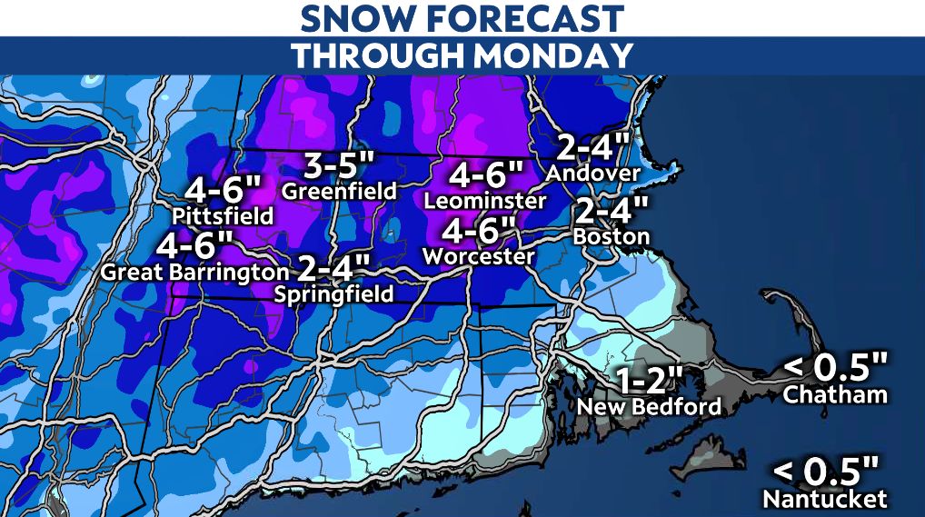
Due to mixing, snow accumulations remain tricky to pin down, but the highest totals will likely be in the colder spots that see more snow than a wintry mix and rain.
Although much of western and central Massachusetts could expect to see anywhere between 2 to 6 inches by the time all is said and down with on Monday. Locally higher amounts reaching over a half-foot are possible across the higher elevations, particularly to the north and west.
Milder areas out on the Cape and closer to the coast will likely see the least amount of snow, with totals measuring anywhere between a coating to a few inches.
Along with the wintry precipitation, winds will also pick up as the storm intensifies and tracks closer to the region Sunday night into Monday, with potential gusts reaching up to and over 30 mph.
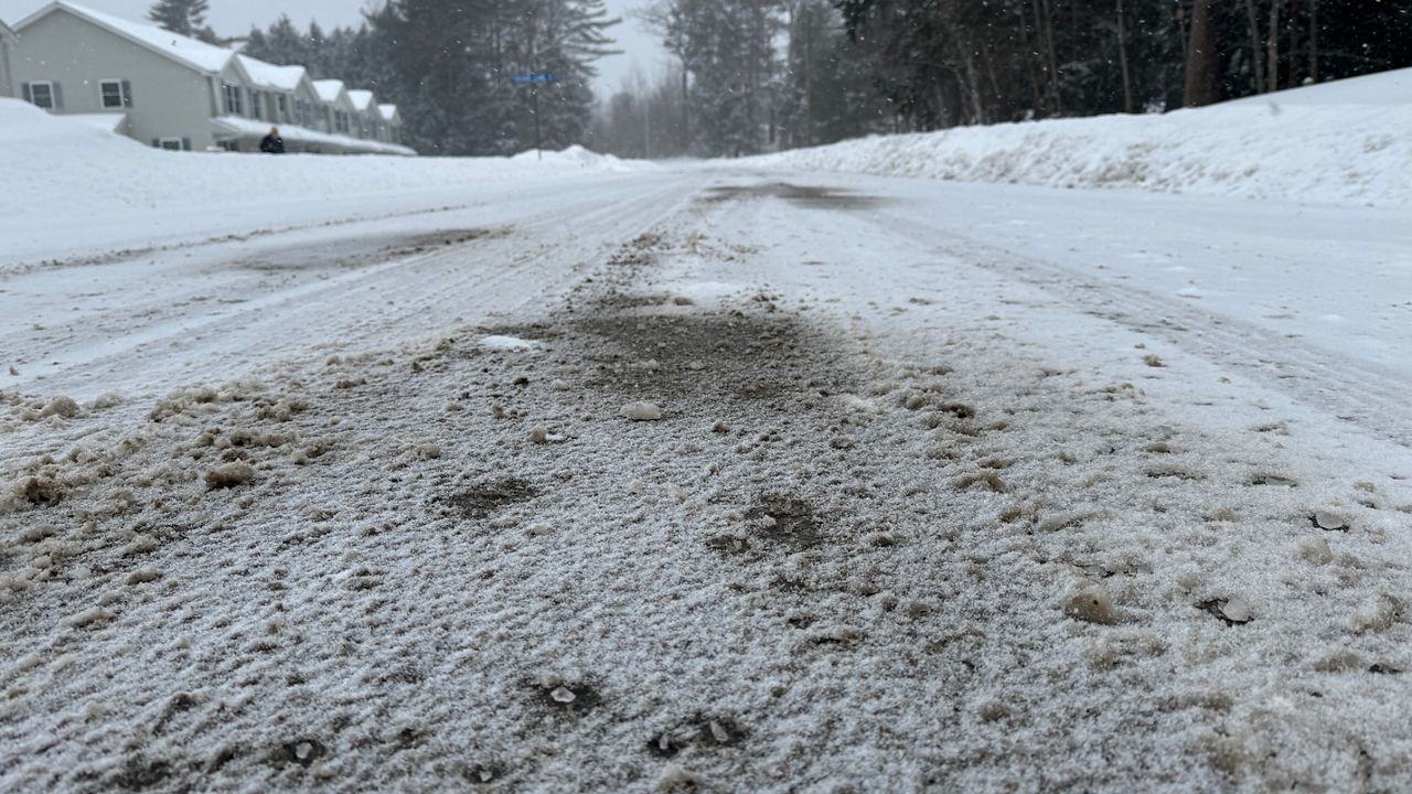
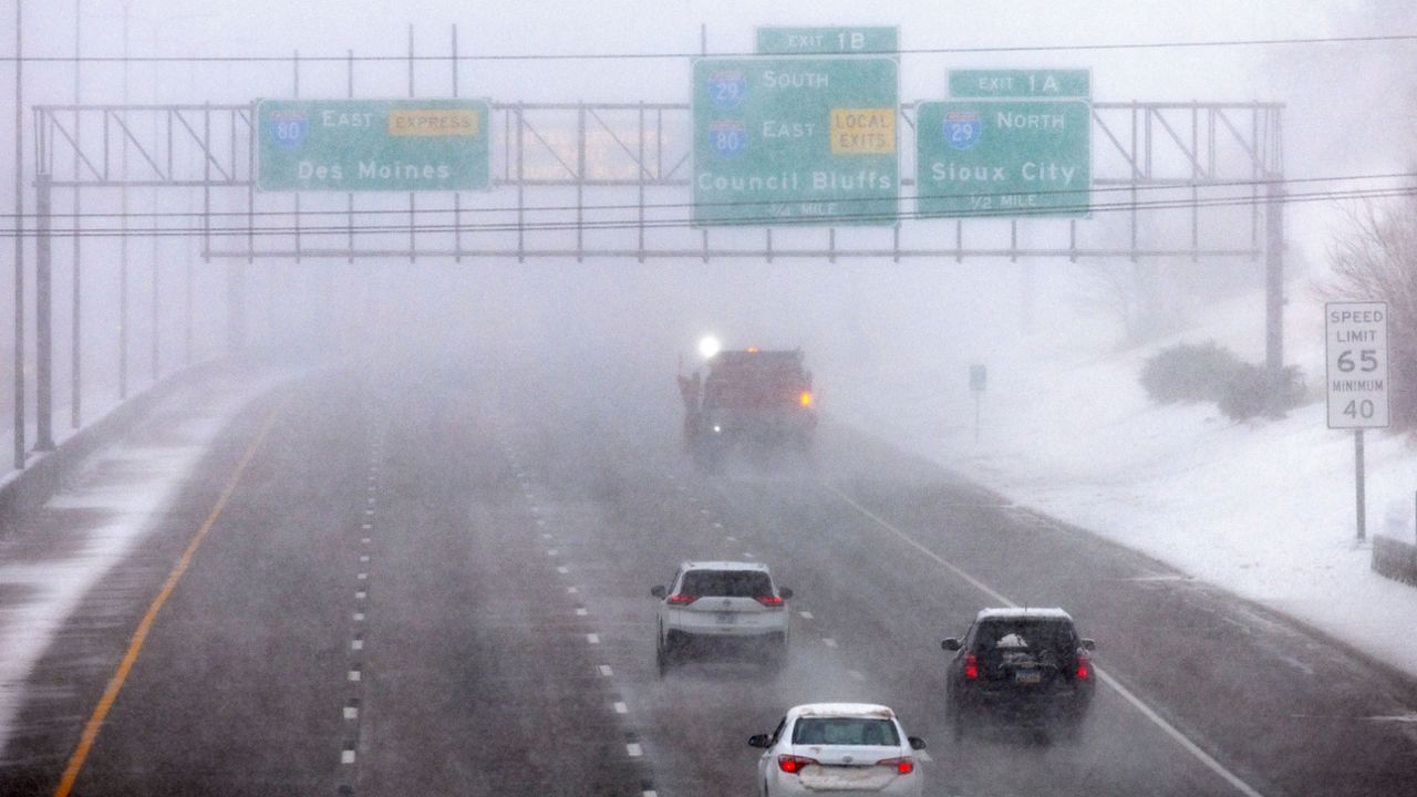
Regardless, periods of heavy wet snow and gusty winds will create hazardous travel conditions, especially Sunday night into early Monday morning. Roads will not only be slippery, but visibility could be significantly reduced too.
To stay safe, those who do not need to be out on the roads should remain at home.
With that, please check back for the latest updates regarding the storm and what to expect.
Our team of meteorologists dives deep into the science of weather and breaks down timely weather data and information. To view more weather and climate stories, check out our weather blogs section.