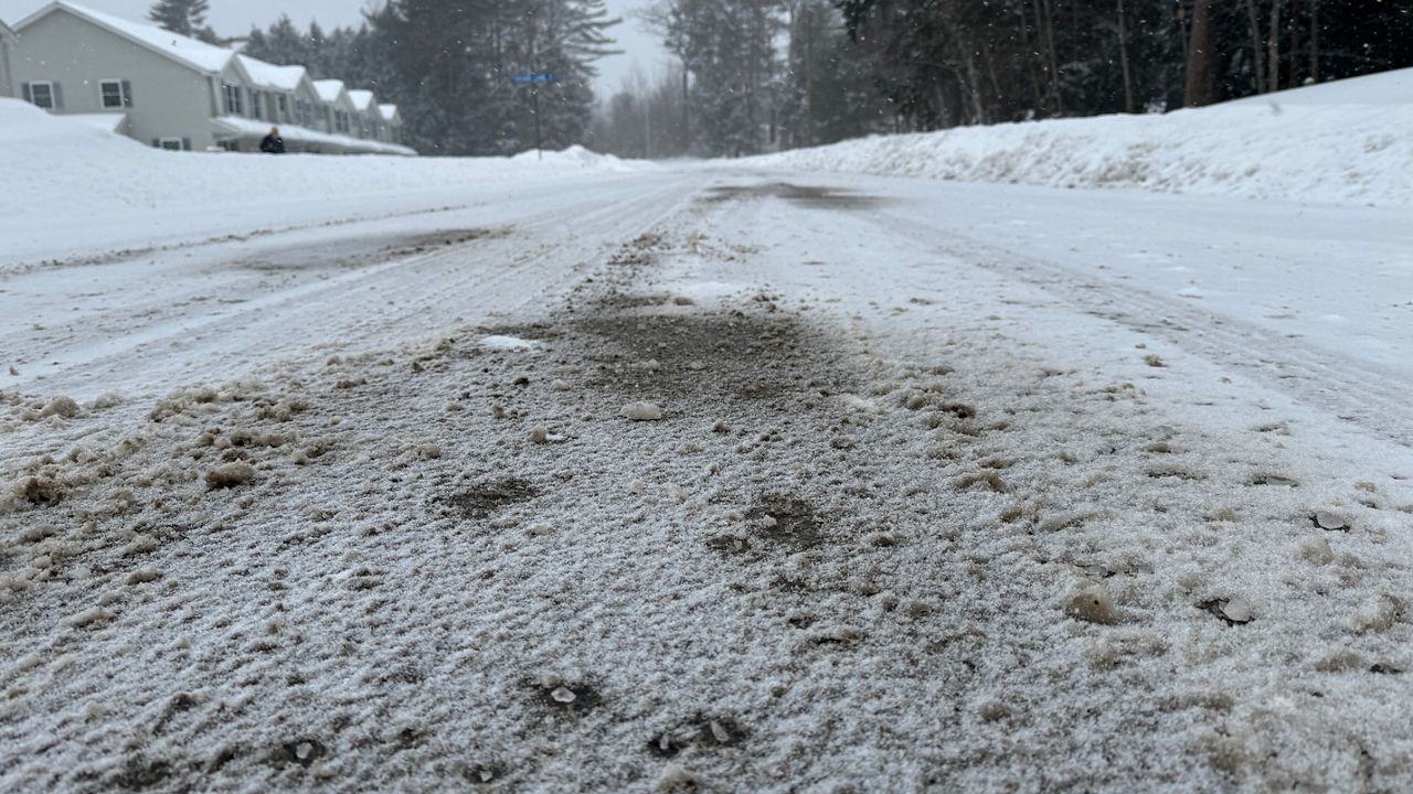
A significant winter storm will continue to impact New England through this evening, bringing impressive snow accumulations to parts of the region.
The storm will continue to track off the New England coast before drifting east away from the region Sunday night. Until then, much of the area will see snow last through the better part of the day before wrapping up.
Winter Storm Warnings and Winter Weather Advisories remain in effect through Sunday night.
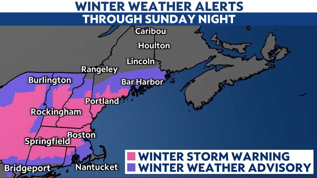
Plowable snow will be possible across portions of southern New England west of I-95 from Providence to Boston, including Worcester County. Measureable accumulations combined with gusty winds will lead to blowing and drifting snow.
This will result in more travel implications. Along with slippery surfaces, moderate snowfall and blowing snow will also reduce visibility on the roads through Sunday night.
Much of Massachusetts and areas south and east of I-95 in Maine could see an additional 2 to 4 inches of snow before all is said and done with on Sunday evening, pushing totals near and possibly over a foot in places.
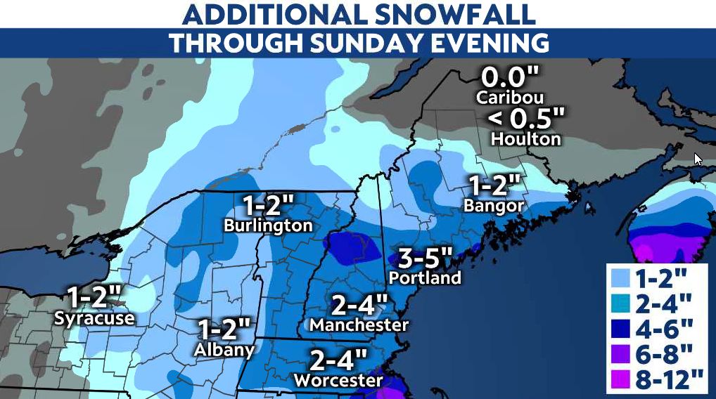
Interior Massachusetts and southern Maine will see the highest accumulations from this event.
In Massachusetts, snowfall totals will sharply cutoff moving closer to coast and out on Cape Cod due to more rain mixing.
With the core of this system staying south of Maine, northern parts of the state will see lower amounts compared to areas closer to the coast.
Winds will stay strong across most of the region before weakening on Sunday night. Gusts will generally range between 20 to 30 mph, especially for places near the immediate coast. Yet, gusts could reach as high as 50 mph out on Cape Cod, Martha’s Vineyard and Nantucket.
Conditions will dry out and brighten up across much of the Northeast on Monday, but we're closely watching another system on the horizon that will bring more rain, snow and a wintry mix Tuesday night into Wednesday.
Our team of meteorologists dives deep into the science of weather and breaks down timely weather data and information. To view more weather and climate stories, check out our weather blogs section.


