


A winter storm will continue to impact much of the region today, with gusty winds and rain chaging over to snow.
As temperatures continue to fall through the 30s this afternoon, heavier and steadier rain from this storm will change over to a wintry mix and snow.
The bulk of the precipitation looks to exit by around dinnertime, but a few lingering snow showers will continue to move across the region leading into tonight.
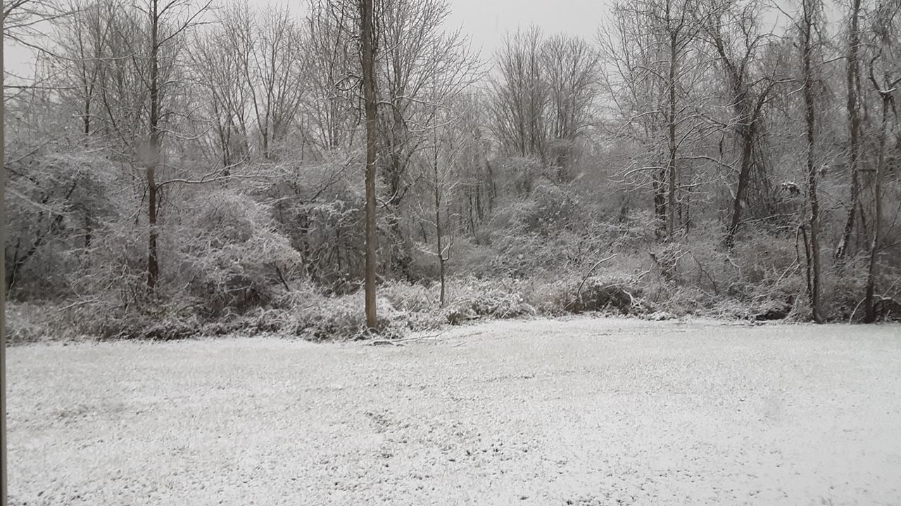
In central Massachusetts, snowfall amounts should stay limited to around an inch, with areas pointing east seeing locally less. However, totals will increase heading west, where some spots in the Berkshire’s could see accumulations approach a half-foot or more.
No matter how much falls, plan on roads turning slick from the falling snow and wet surfaces turning icy. While the western edge of the state remains under a Winter Storm Warning, most central Massachusetts is under a Winter Weather Advisory through this evening.
In addition, winds will continue to pick up substantially this afternoon leading into tonight. With potential gusts reaching up to 45 mph, Wind Advisories remain in effect.
Places with accumulated snowfall could be affected by blowing snow, which could reduce visibility and further impact travel conditions. Also, rapidly falling temperatures combined with wet surfaces could lead to a flash freeze later today leading into tonight.
Otherwise, conditions will gradually dry up overnight, but it will remain quite cold and blustery. While overnight lows will settle in the 10s, it will feel more like it is near and below zero with the wind factored in early Sunday morning.
Despite brighter skies, Sunday will stay brisk and breezy with highs only in the mid-30s.