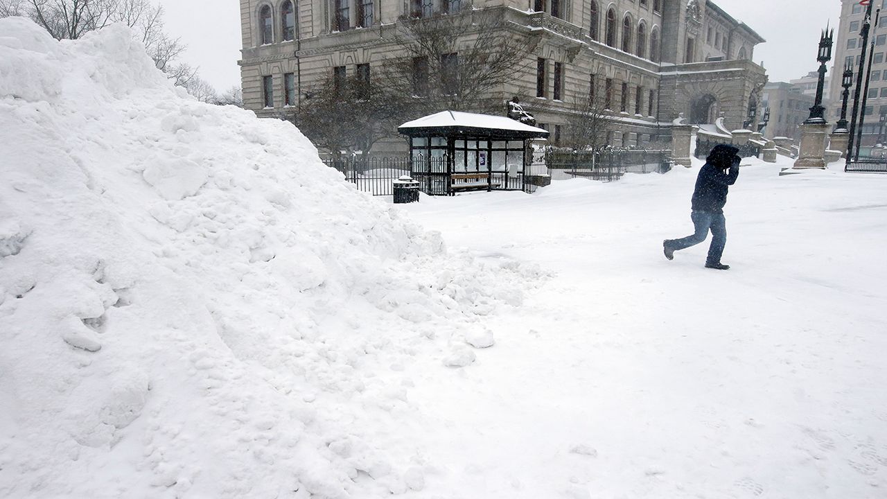
WORCESTER, Mass. - Winters in Massachusetts are famous for their freezing temperatures and blanketing snowstorms, although you wouldn’t know it from the weather over the past couple of months.
The Worcester area typically gets around 54.3 inches of snow during the winter. By this time in the season, the region would normally get around 21 inches of snow on average. However, the area has only seen about six inches of snow this winter, making this season so far the lowest snowfall on record.
Spectrum News meteorologist Greg Pollak said the reason for the lack of snow so far has to do with the unusually warm air temperatures.
“The reason why it hasn't snowed all that much this year is because the core of the Arctic air is locked up in northern and central Canada,” Pollak said. “There hasn't been a push southward with it. And unfortunately for snow lovers, this pattern looks like it will persist through the end of the month.”
Data from the U.S. Climate Prediction Center suggests that precipitation may be a little higher than average over the next couple of weeks, and temperatures have a 60% to 70% chance of being above average.
Considering the average high temperature for this time of year is 32 degrees, this makes the chance of getting more snow look less likely outside of higher-terrain regions like the Berkshires. Instead, central Massachusetts will most likely get rain or a rain/snow mix because of the warmer weather.
Historically, Worcester has seen a wide range of snowfall. In 2014-2015, the area received its biggest snowfall on record, with a total of 101.4 inches. The second-highest snowfall for Worcester was 91.4 inches during the 2002-2003 season.
The last time Worcester saw such little snow was in 1936-1937 with 8.7 inches of snow recorded. The next least-snowy year on record was in 1979-1980, with only 9.4 inches.


