


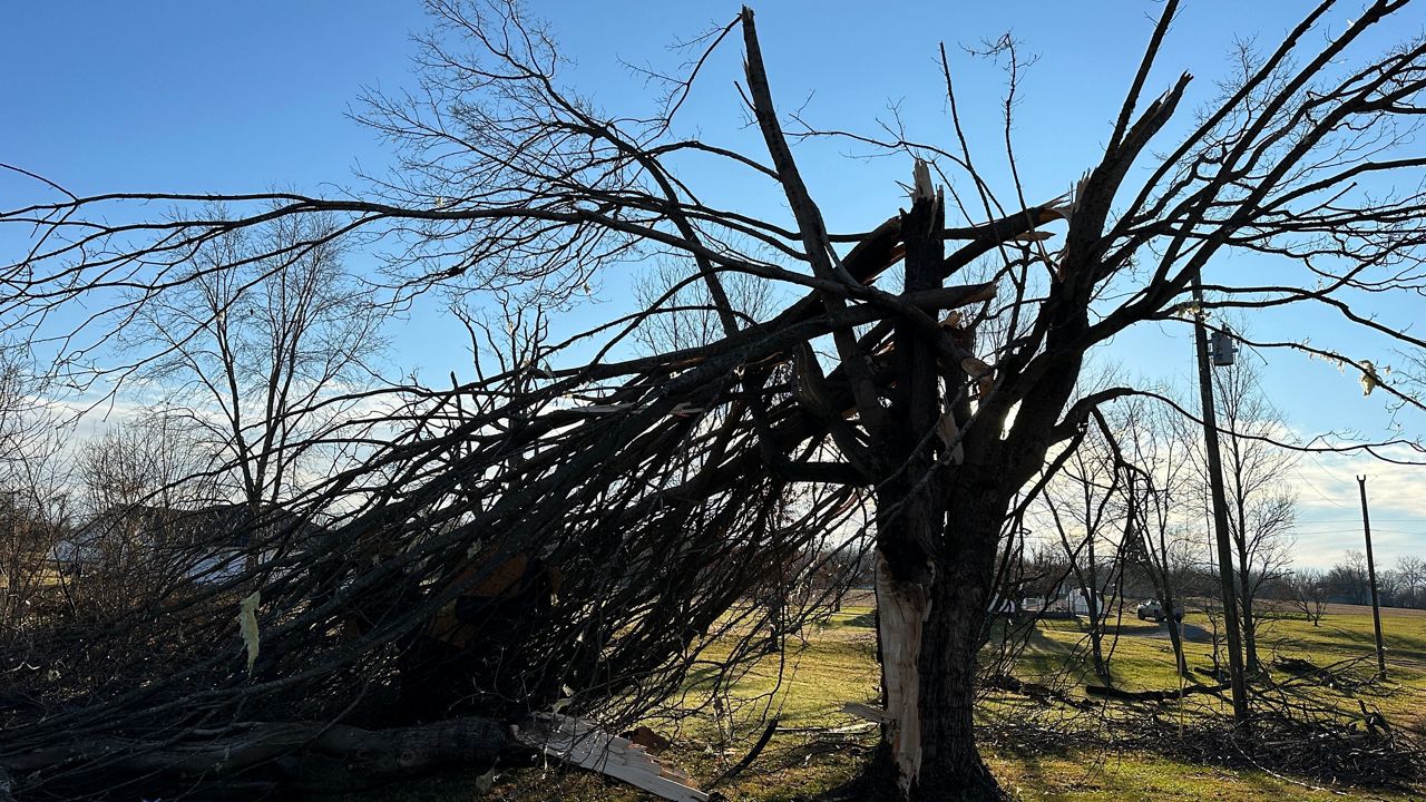
The Spectrum News 1 team of meteorologists is tracking some active weather for the early part of the work week that could include strong to severe thunderstorms.
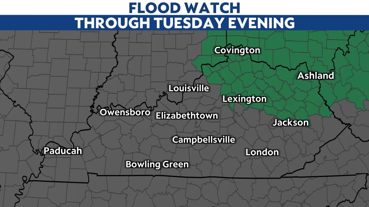
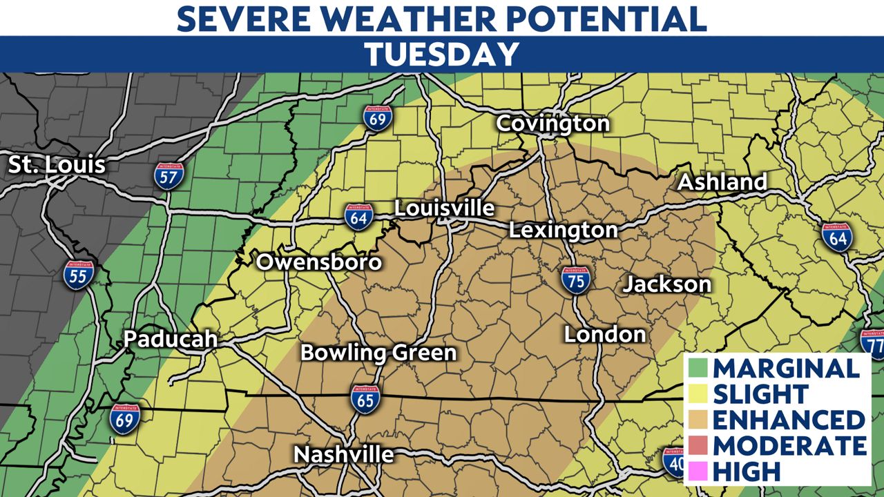
By Tuesday, the storm system is expected to move from the plains and into the Ohio Valley with a cold front moving through late Tuesday afternoon into the evening. On Tuesday, all modes of severe weather will be possible, including large hail, damaging winds and a tornado threat. Flash flooding will even be possible. There is a Flood Watch in place for northeastern Kentucky through Tuesday evening.
Severe weather can strike in an instant. Be sure to have your plan of action ready to go should a tornado warning be issued for your area. Remember to seek shelter in the most interior, lower room of you home, away from doors and windows. Make sure to have items such as cash, hard soled shoes, a helmet, batteries and bottled water on hand should your area lose power for an extended period of time. Talk to your family about the threat and make sure everyone knows where to go and how to act when severe weather strikes. Also make sure to have your phone fully charged before any storms develop, also make sure to have the Spectrum News app downloaded on your phone.
Behind the system, much colder air will pour into the are with many spots struggling to get out of the 40s for high temperatures on Wednesday and Thursday.
Our team of meteorologists dives deep into the science of weather and breaks down timely weather data and information. Stay with Spectrum News 1 for the latest on the early week severe threat.