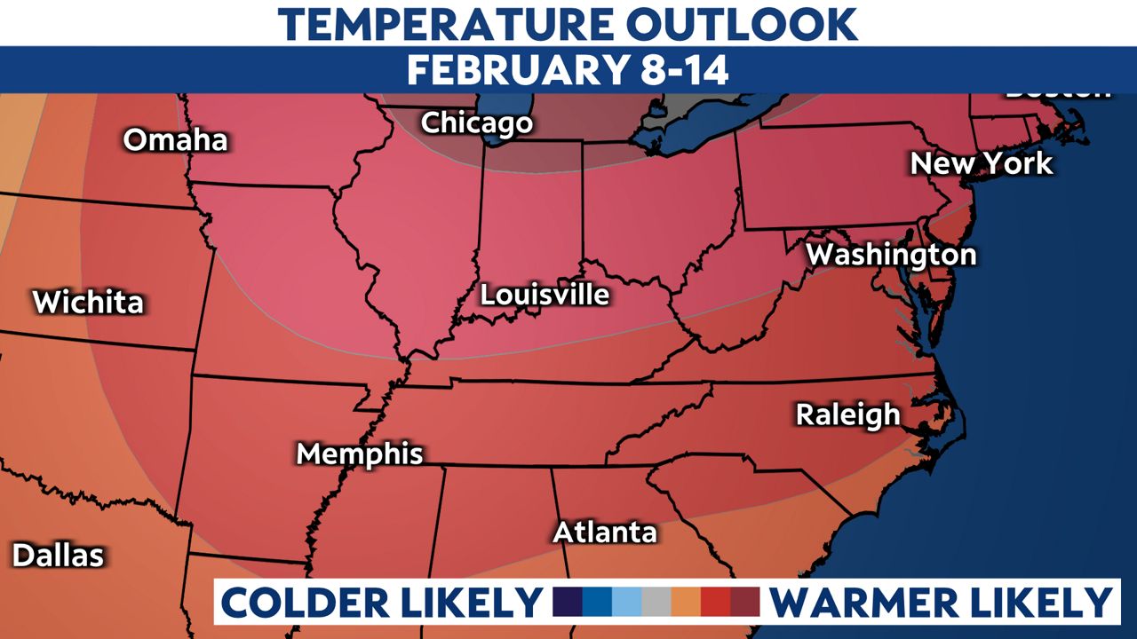
After a seasonably chilly last few days of January, above normal temperatures return for the first half of February.
Although it has been a fairly chilly stint going back to last weekend, we can’t complain after the blast of arctic air we endured in the middle of the month.
You may recall that we rebounded nicely with a stretch of 50s and 60s immediately after our week of bitter cold. Those types of temperatures are returning for the first half of February.

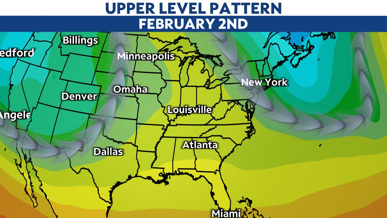
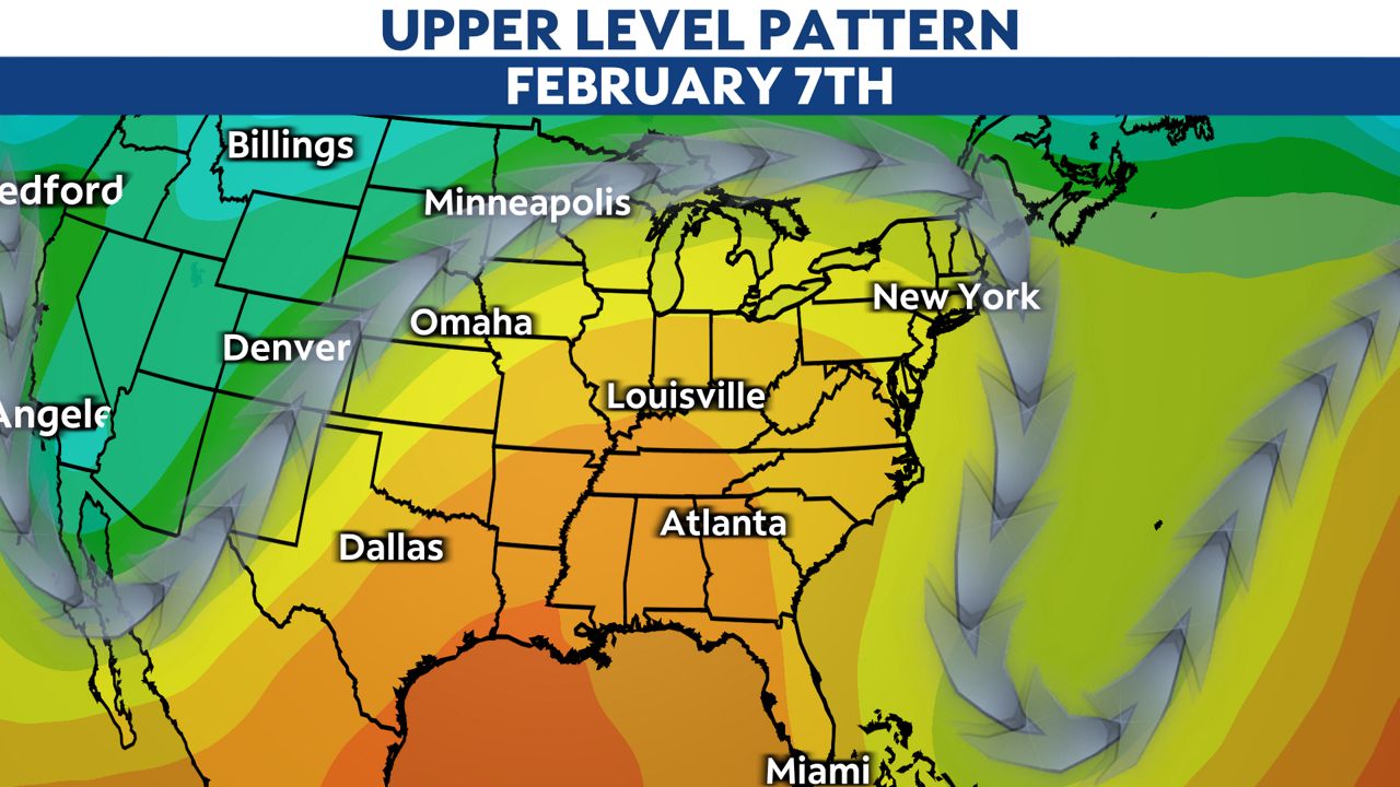
The big culprit for our warm-up will be upper-level ridging setting up. This is when the jet stream lifts well to the north and high pressure builds in aloft.
The icing on the cake will be the return of sunnier days with this as well.

An upper-level low looks to scoot by to our south around Feb. 4 to 5, which will knock our temperatures down just a touch. However, more ridging looks to build in immediately after to close out the first half of the month.

Longer range models are hinting at another cold snap possibly arriving in the second half of February. Punxsutawney Phil may be in for quite the critique after his prediction on Friday.
Our team of meteorologists dives deep into the science of weather and breaks down timely weather data and information. To view more weather and climate stories, check out our weather blogs section.


