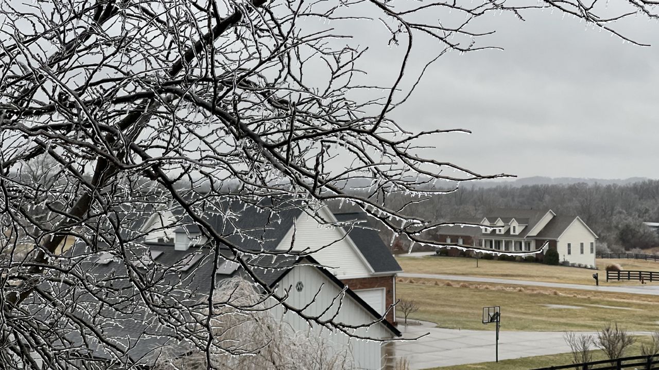
A complex winter storm first brought heavy rain, then freezing rain and sleet, before finally wrapping up with a bit of snow.
Heavy rain before the winter weather amounted to one to two inches across much of Kentucky. Since the ground can't absorb water as easily this time of year, much of it ran off into streams and rivers, causing localized flooding issues.
Check out the interactive map of winter weather reports below. These are all the amounts that came into the National Weather Service through the early afternoon of Friday, Feb. 4.
Blue snowflake icons are snowfall reports, purple circles are sleet reports and pink rain clouds are freezing rain reports. Click or tap on an icon for more information.


