


Warmer conditions are expected today as the high moves to the east, but clouds and winds will increase ahead of our next storm system. Highs will reach the mid-60s, thanks to gusty southerly winds. A Red Flag Warning is in place today for the dry and windy conditions and outdoor burning is not recommended.
The approaching system is much weaker than what we’ve seen lately, so a cold front will cross this evening with just clouds. Skies will clear overnight as temperatures drop into the lower 40s.
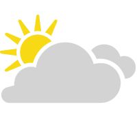
We'll see sunshine to start tomorrow, but clouds will quickly build back into the region of the next storm system. Highs will climb into the mid-60s.
Rain and storm chances will increase Saturday night into Sunday. At this time, severe weather is not expected, but wet weather looks to linger through Sunday afternoon.
 |
Increasing clouds High: Mid-60s; Winds: South at 10 to 20 mph, gusts to 40 mph Low: Low 40s; Winds: West at 10 to 15 mph, gusts to 25 mph Hour-by-hour forecast | Share your weather photos | Turn on weather notifications | Radar |