


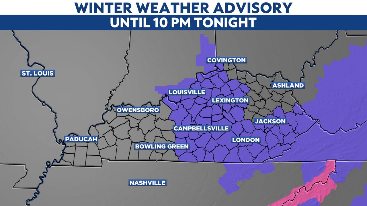
Winter weather advisory issued until 10pm
Some rounds of snow squalls will still be likely across Kentucky throughout the afternoon. A winter weather advisory has been issued for Louisville and into most of central and eastern Kentucky.
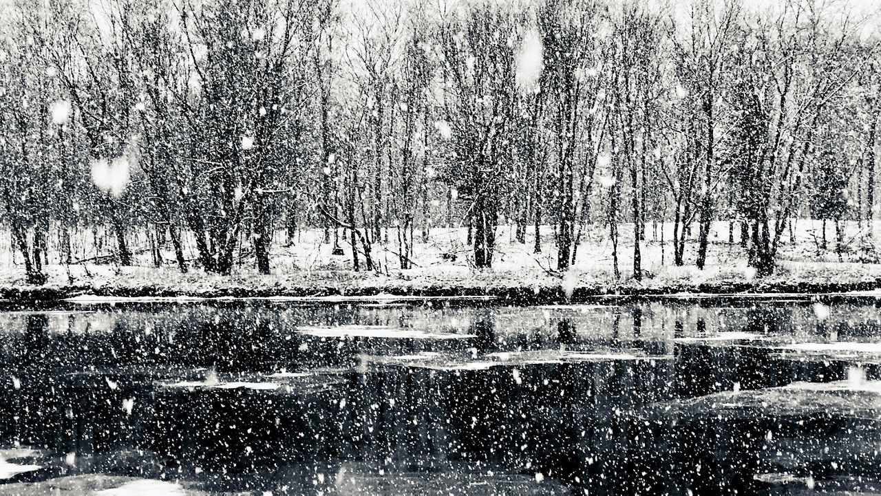
Throughout the afternoon and into the evening. Some brief rounds of snow showers will be occurring. Some of them could contain heavy snowfall and winds could gust up to 10-20 mph. This could cause some dangerous travel conditions, as visibility could be reduced if caught in one of the snow bands.
Each band will have the possibility to create sudden snow bursts, which are quick blasts of intense snowfall that could drop visibility levels for small periods of time. Remember to drive slowly and not to slam on breaks.
We should see the final rounds of snowfall by 10 p.m. tonight.
The farther west you are, the less snow that you will see. Areas around Louisville will end up with a coating of snow and sleet. Meanwhile, just a short distance to the east, several inches of snow will be on the ground.
Monday morning, snow showers will be possible in areas that didn’t see the snow on Sunday. A coating of snow is possible, so if you have to head out in the morning, there could be some slick spots on the roads. Use caution.
The afternoon will be cloudy, cold and blustery, with winds gusting 20 to 30 mph. That will send wind chills in the teens in the morning to 20s in the afternoon.