

Heavy rain in North Carolina led to flash flooding across many cities.
Rain moved into the state on Wednesday and started off on the lighter side.
With the ground already saturated, the ground stood no chance as heavy rainfall moved in early Thursday. A front moving through the state combined with the moisture from Eta to produce heavy rain.
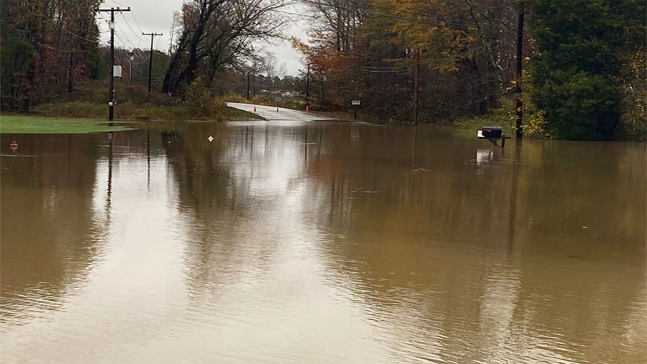
Ponding on roads happened quickly and flash flooding occurred. Many water rescues have been made.
Many of the major cities across the state have picked up at least several inches of rain.
Charlotte saw its wettest November day on record with 4.62 inches. It is also the 8th wettest day, overall.
The good news is the rain is moving offshore. The coast will see rain showers this morning, but those should move out quickly.
Flooding will remain in spots, however, as poor drainage areas will continue to see high water.
If you see flooding in your area, turn around, don't drown. It only take a foot of flowing water to sweep a car away. You might not also know how deep that water actually is, turning an avoidable situation into a dangerous one.