The final weekend in September may be our last taste of the summer of 2019.
Wind flow from the south, combined with an upper level ridge of high pressure, will result in a mild, sunny, and quiet weekend across Kentucky. As we move into the following workweek, big changes will take place.

A cold front will sweep through the Ohio Valley on Monday, causing scattered showers to push through Kentucky into early Tuesday morning.
It will bring the first push of cooler air and will drop our temperatures into the upper 60s and low 70s for highs for the middle of the week.
A second push of colder air will arrive with another cold front set to arrive on Wednesday night. Behind this front, get ready for a true taste of fall.
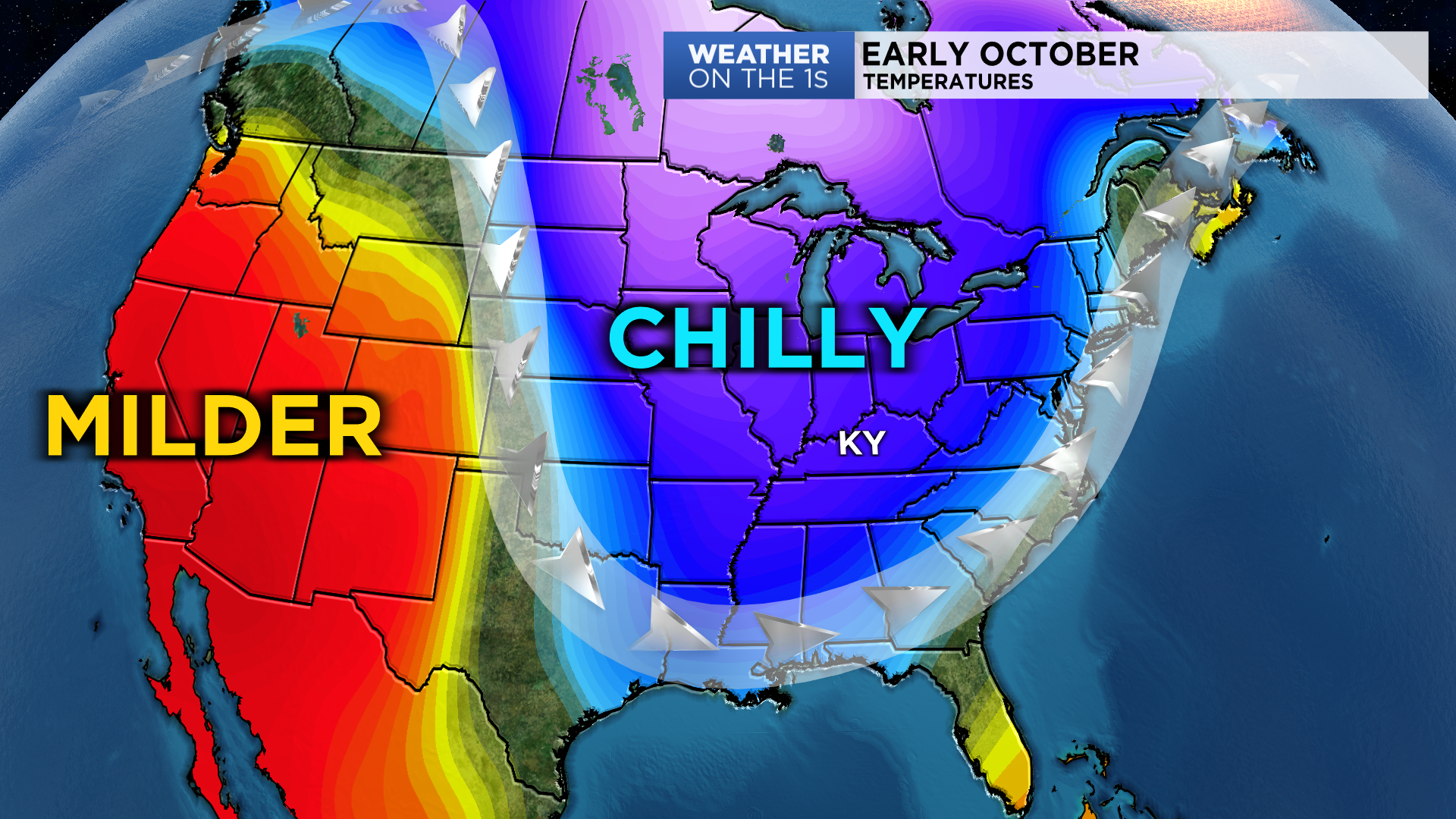
Highs by next Friday and Saturday may barely reach 60 for some while lows at night will dip well into the 40s across Kentucky. This means many areas in the Commonwealth will be experiencing temperatures around 15 degrees below normal.
Although this is not extreme, it will feel unseasonably chilly.

This widespread cooldown will occur across the eastern half of the country as temperatures will be well-below normal as far south as the Florida coast.


