


LEXINGTON, Ky. — Kentuckians are rather familiar with severe winter weather, as many longtime residents have battled multiple ice and snow storms over the years in the Bluegrass State.
What You Need To Know
- Kentucky has historically been hit by significant winter weather
- Meteorologist says storms have become less severe in recent years
- Ice and flooding, along with snow, are rather common in Kentucky
- Several major storms have happened in March
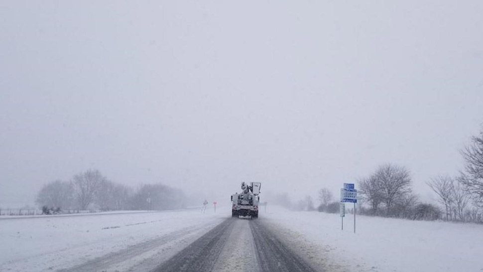
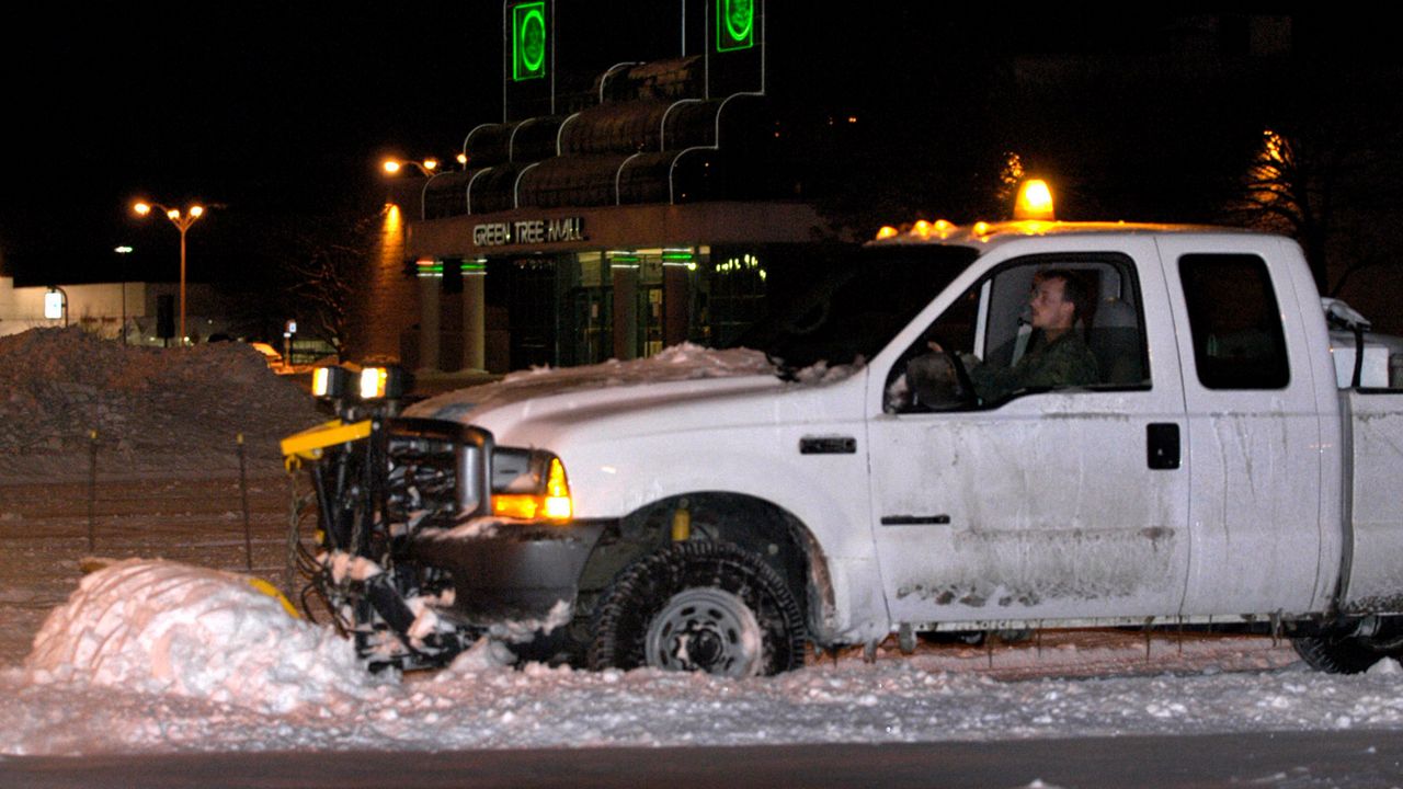
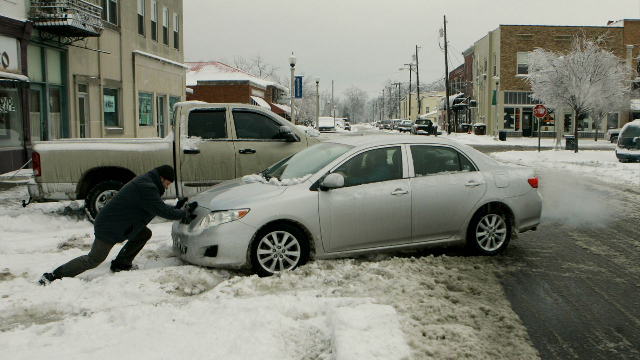
Less than a week after a system dumped up to a half-inch of ice over most parts of Kentucky, another winter storm arrived overnight Monday, Feb. 15, dropping more ice and several inches of snow across most of the commonwealth.
Meteorologist Dustin Jordan at the National Weather Service in Jackson, Ky, said the recent winter storms are “mixed precipitation” events – causing both ice and snow – because of a “warm nose,” which is a wedge of above-freezing air that settles above subfreezing temperatures at the surface. This air corrupts any snow that falls through it, changing it to rain.
“We're looking at more ice than snow in a lot of places, and the reason that is because it's just so cold at the surface, but aloft, you're actually keeping it in a liquid form,” he said. “In terms of different weather in Kentucky, it just probably matters on the direction of the wind, which can bring in colder air to one place versus warmer air to another place.”
Although major winter storms may seem more infrequent in Kentucky than in past years, such as the blizzard of 1994 or the ice storm of 2009, Jordan said 2015 and 2016 were “very big snow years” that recorded frigid temperatures as well.
“There were several places getting down to the minus-20 range back during that time,” he said. “The past few years there have been fewer storms in terms of winter weather. This has really been the first year since 2016 we've had more aggressive snowstorms or ice storms or anything like that.”
1. Record snow and incredible cold: Jan. 17-19, 1994
An intense winter storm brought copious amounts of snowfall to the region, with all of Kentucky and southern Indiana receiving several inches of snow. A band of particularly heavy snow set up from Shelbyville through Cynthiana, where nearly two feet fell. Louisville set a single-day snowfall record of more than 15 inches.
The heavy snow set the stage for an intensely cold air mass out of Canada, sending temperatures plunging well below zero. Not only did Louisville record an all-time low of -22 degrees, but Shelbyville also set a new record low temperature for the entire state of Kentucky with a reading of -37. Lexington came within one degree of its record low.
2. Great Ice Storm of 1952: Jan. 28-Feb. 2, 1951
An extremely strong high-pressure system started making its way into the region, pulling harsh, cold, polar air in with it. In the meantime, a strong low-pressure system was moving through areas farther south along a cold front, stretching from the Gulf of Mexico and into the northeast. The cold front caused temperatures to drop. In Bowling Green, almost 3 inches of snow and sleet had covered the city by the morning of Jan. 31, causing roads to become nearly impassible. By noon, the snow had turned to rain due to the above freezing warmer air aloft. However, on the surface, temperatures had only risen to 28 degrees. This caused the rain to freeze upon impact, worsening the traffic situation. Bulldozers were called out to help the effort and scrape the ice with little effect.
By the next morning, on Feb. 1, temperatures started dropping dramatically. Before the day was over, a low temperature of -1 had been recorded, and another 7 inches of snow had fallen. Travel by this point was virtually impossible, causing major delays for airlines, buses, and trains throughout the state. Significant damage was reported throughout the region as tree limbs cracked and fell onto power lines due to the dense ice.
The cold only continued. At 4:45 a.m. on Feb. 2, Bowling Green recorded a temperature of -20 degrees, the coldest official temperature ever recorded in February at that time. The precipitation continued as well, leaving behind 9 inches of snow and sleet on the ground in Southern Kentucky. Crews were working around the clock to restore power and phone lines. Water pipes burst under the extreme cold, transportation remained halted, temperatures remained unbearable, and 10 days later, the area had yet to recover from the ice and the snow.
The Great Ice Storm of 1951, as it came to be known, covered the south in a linear path of ice from Louisiana to Ohio. Heaviest accumulations fell in a line from Memphis to Nashville, Tenn., and northeastward into Lexington. It was the costliest winter on record for the time, causing an estimated $100 million in damage. The impact on forest, livestock, crops, and fruit trees was responsible for $64 million of that total. It is estimated that 25 people lost their lives across the areas affected by the storm, and another 500 were injured.
3. Easter Freeze: April 5-10, 2007
After an unusually warm streak the last 10 days of March, with temperatures topping out in the 70s and 80s, a cold front made its way into the Ohio Valley Region. With the cold front came extensive severe weather, and afterward replaced the once high temperatures with an immense area of cold Canadian air. Temperatures dipped into the 20s and 30s in the mornings in the five-day period throughout Kentucky and Southern Indiana. Bowling Green spent a total of 47 non-consecutive hours below freezing, with their lowest temperature of 22 degrees on April 8. Lows of 25 degrees in Louisville and 22 degrees in Lexington were reported on April 7 and April 8.
Before the cold streak, the spring crops and plant growth were getting an early start with the excessive warmth for the time of the season. As the cold air set in for the week, however, the below-freezing temperatures took advantage of the blooming vegetation. Nearly all crops suffered losses, including most of the state’s peaches. Half the wheat crop was destroyed, estimating at $63 million worth of losses. The same went for the area’s corn crop, which reported $5 million in losses, and $16 million was reported in damages for a $20 million fruit industry, nearly crippling it. Total losses throughout the Kentucky and southern Indiana region were more than $130 million. As fate would have it, this would not be the only problem set to take place in the crop industry for this year. As the summer got up and going, a strong drought set in, lasting throughout the early fall months of 2007. After the April freeze had taken most of the crops, the drought was the end of any hope for a prosperous year in local agriculture.
4. 1998 Snowstorm: Feb. 3-6, 1998
From the evening of Feb. 3 until the morning of Feb. 6, as much as 25 inches of snow fell in parts of Kentucky. Power lines were down across most of Louisville County Warning Area (CWA), roads became covered, slick, hazardous, and even impassible in some cases. Over the next three days, three people lost their lives in weather-related traffic accidents across the state, and another four were injured. States of emergency were declared for most counties in Kentucky.
Although the storm system looked like a typical Nor’easter for this time of year, taking a path from the Gulf Coast to the northeast along the Atlantic Coast, it was packed with strength and very slow-moving. With these two factors, enough moisture was pulled into the system from the Atlantic Ocean (not the Gulf of Mexico, as is usually the case), and the Appalachian Mountains proved no barrier for bringing the moisture farther west than a normal Nor’easter. Heavy snows started on the evening of Feb. 3 in the southeast portions of Louisville, then traveled north, reaching the Louisville metropolitan area on Feb. 4 shortly before sunrise. Areas of 10-plus inches of snow accumulations stretched to the Ohio River by 7 p.m.
Most of the heaviest snow was limited to an area north of a Lexington-to-Louisville line, in areas such as New Castle of Henry County, where 25 inches were reported. Totals were smaller for southwest portions of Louisville, measuring between 5-10 inches by the end of the event. It is said these totals are not completely reflecting of the actual totals, in that during the several days melting and packing took place, so in reality, snow totals could have been much higher. By Feb. 6, 36 of the 49 counties in the Kentucky portion of the Louisville CWA had at least 10 total inches of snow on the ground. Louisville itself broke its all-time storm total snowfall, reaching 22.4 inches (the previous record was 15.9 inches on Jan. 16-17, 1994), Oldham County reported an additional 11 inches of new snow on the ground by the morning of Feb. 6 and across other sections of central and northern Kentucky snow total reports were anywhere from 12 to nearly 30 inches.
5. Christmas Snowstorm: Dec. 22-23, 2004
A winter storm dropped snow onto sections of southern Indiana and counties bordering the Ohio River in Kentucky, accumulating up to 30 inches, causing drifts of 2-5 feet. At times the snow fell at a rate of 4 inches per hour, with the highest accumulations measuring 32 inches. Most roads in these areas were considered dangerous and impassible. Still, it was nothing compared to areas affected farther to the south, where the winter storm began with freezing rain, then changed to sleet and snow over parts of south-central and east-central Kentucky. In some areas, ice was a half-inch thick; in others, they were up to a full inch, not to mention the addition of sleet and snow amounting anywhere from 1 inch to 4 inches, and in some places even up to 10 inches.
Many residents were left without power for a long time, mainly in Franklin, Harrison, and Scott counties. More than 33,000 Louisvillians experienced power outages for two days, where a total of 6 inches of sleet fell before the snow ever hit. Trees and limbs snapped at the weight of the ice across the state, cluttering the roads, which were still impassible. An airport hangar collapsed in Elizabethtown, destroying several airplanes. Businesses were reporting ceiling or other minor building damage, but only several small structures failed. Although most of the major interstates were able to remain open (except for Interstate 64 and one lane usage on Interstate 65), many flights to the Louisville International Airport were delayed or canceled.
Perhaps the most crippling aspect of this event was its timing. Because it occurred right before the Christmas holidays, airlines suffered significantly, and businesses lost millions of last-minute customers. It is said the local businesses lost up to 80% of their expected sales during the storm.
6. Unrelenting Snow, Wind, and Cold: January 1978
One blast after another of frigid arctic air poured into the central and eastern United States in January 1978, making the month one of the top-five coldest months ever recorded in southern Indiana and central Kentucky. At Lexington, all but three days during the month were colder than normal, and 19 of the days were at least 10 degrees below normal. The worst of the icy air struck on Jan. 9-10, with many locations dipping below zero with highs around 10 degrees and wind gusts to 25 miles per hour.
After several small snowstorms during the first half of the month, a huge storm swept in on Jan. 16-17. Louisville recorded 15.7 inches of snow, which was the record snowfall until the January 1994 and February 1998 storms.
To close out the month, the “Blizzard of ’78” struck the Midwest and Great Lakes. While snowfalls in southern Indiana and central Kentucky were only on the order of 2-to-5 inches, west winds gusted to 40 miles per hour. Due to the constant cold, much of the snow that had fallen during the month was still on the ground at the start of the blizzard, giving those winds 10 inches of snow to blow around (plus the additional snow that fell with the storm itself). Some area residents were trapped in their homes for several days, and a state of emergency was issued for all but the southeast corner of Kentucky. Also of note, at 9:20 p.m. on Jan. 25, Lexington set its record for low sea-level barometric pressure.
After the blizzard, another cold blast surged in and took temperatures below zero once again.
7. Ohio Valley Ice Storm: Jan. 26-28, 2009
A wintry mix moved into southern Indiana and central Kentucky on the night of Monday, Jan. 26, 2009. Precipitation began as light freezing drizzle and freezing rain over the entire area but changed to sleet and then snow overnight into the early morning hours of Tuesday across southern Indiana and northern Kentucky. Up to 6 inches of snow accumulated across the northernmost sections of the CWA. Freezing rain continued over southern Kentucky. On Tuesday, Jan. 27, the precipitation changed to freezing rain over southern Indiana and northern Kentucky and to rain over southern Kentucky. Ice over an inch thick was reported in many locations from the freezing rain. Tuesday night, freezing rain and sleet continued over southern Indiana, freezing rain transitioned to rain over northern Kentucky, and rain, occasionally heavy, continued over southern Kentucky. Minor river flooding developed in some spots by Wednesday from the steady rain. On the morning of Wednesday, Jan. 28, the precipitation changed to snow from northwest to southeast. About 3-to-4 inches of additional snow accumulation piled up in the north, with less to the south.
The storm caused Kentucky’s largest power outage on record, with 609,000 homes and businesses without power across the state. Property damage was widespread, with the damage due to falling trees, large tree limbs, and power lines weighed down by ice. In the Louisville metropolitan area, 205,000 lost power for up to 10 days. Area school systems were closed for a week. Several emergency shelters were set up across the affected region. In Louisville’s local school system, 69 schools lost power.
8. Bluegrass Ice Storm: Feb. 15-16, 2003
For areas in southern Indiana and north-central Kentucky, freezing rain began to occur late in the afternoon on Feb. 15, as temperatures started to drop on what was already a dreary, rainy day. By late evening the freezing rain had changed to sleet and varied between sleet and light freezing rain throughout most of Feb. 16 as well. Accumulations were mostly sleet with some freezing rain amounting to one to two inches in most locations. For areas farther south in the Louisville CWA, the freezing rain prevailed throughout Feb. 16 with little sleet, temperatures falling into the upper-20s, giving reports of an inch in ice accumulations along Interstate 64 from Frankfort to Winchester.
Most property damage for counties of southern Indiana and north-central Kentucky was due to having to restore the power and clean up from the tree damage caused by the weight of the ice. In Nelson County, about 2,200 residents wound up without power after the storm. The hardest-hit areas, however, were in and around the cities of Frankfort and Lexington, where ice accumulations measured 1¼ inches on exposed streets, sidewalks, and branches. Here, an estimated 125,000 residents were without power for up to five days or more, trees were destroyed, branches cluttered the roads, and sections of Interstate 64 were periodically shut down during and after the storm. A 78-year-old man in Lawrenceburg tragically lost his life after sustaining injuries from a falling, ice-covered tree limb. By the time the Bluegrass Ice Storm was over, 280,000 customers had their power knocked out, more than 3,000 power poles were destroyed, and nearly 800 transformers needed to be replaced. The total cost to area utilities was about $47 million, with another $26 million used by local municipalities to clean up the damage.
9. March 1996 Snowstorm: March 19, 1996
What happens when a deep low-pressure system meets up with moisture from the gulf and below-freezing temperatures at the surface? Bad winter weather. And what happens when it all meets over the state of Kentucky? Well, in March of 1996, it meant declaring a state of emergency for 22 counties across west-central Kentucky and sending in 185 National Guard troops to assist police, doctors, and road crews in the worst affected areas.
As the low-pressure system moved in during the early morning hours of March 19, heavy snow began being reported across the state. As the snow continued throughout the day, the west-central portion of the state faired the worst, totaling 10-12 inches by the next day, while east-central Kentucky received 1-2 inches only. Drifting occurred as well, and some measured as high as 12 feet in Western Kentucky. The heavy, wet snow downed trees and power lines, shutting off power to more than 37,000 customers. Almost all the roads became extremely slick and snow-covered, many of them becoming impassable, halting traffic, business operations, and any kind of normal activity throughout much of the west-central region of the state in the middle of the workweek. There was a state of emergency throughout a large portion of the state.
10. No sign of Spring: March of 1960
March of 1960 was one of the most unusual months ever seen in Central Kentucky. The month should have heralded the beginning of warmer spring weather, but instead was amazingly snowy and cold. In Bowling Green, March of 1960 was the snowiest March on record and was the snowiest month on record. During the month, Bowling Green also received its heaviest snowstorm and heaviest 24-hour snowfall ever seen in the city. At Louisville and Frankfort, it was the snowiest March and the third snowiest month ever recorded. At Lexington, it was the snowiest March and the eighth snowiest month on record.
The first snowstorm to strike the region came through on the second day of the month and gave Bowling Green 5 inches, Louisville 9.2 inches, Lexington 7.5 inches, and Frankfort 6.4 inches. Exactly one week later, low pressure formed over New Mexico and moved through the lower Mississippi Valley and on into the central Appalachians. Huge amounts of wet snow dumped on the Ohio and Tennessee river valleys, including 18 inches in Bowling Green, 9.2 inches in Louisville, 5.7 inches in Lexington, and 7.2 inches in Frankfort.
In addition to the snowfall, the month was incredibly cold for so late in the season. It was and still is, the coldest March ever at Bowling Green, Louisville, Lexington, and Frankfort. It was so cold, it actually stands a full five degrees colder than the second coldest March on record. At Louisville and Lexington, all but one of the first 25 days of the month were more than 10 degrees colder than average, and during that time, 8-to-10 days were more than 20 degrees below normal. The worst cold outbreak of the month struck on March 5-6, when the entire region plunged below zero. The coldest temperatures ever seen in March occurred in Bowling Green (-6), Louisville (-1), Lexington (-2), and Frankfort (-3).
After all that snow and cold, the weather finally broke toward the end of the month, and it broke in a big way. Temperatures on March 28 soared to near 80 just three days after being in the teens.