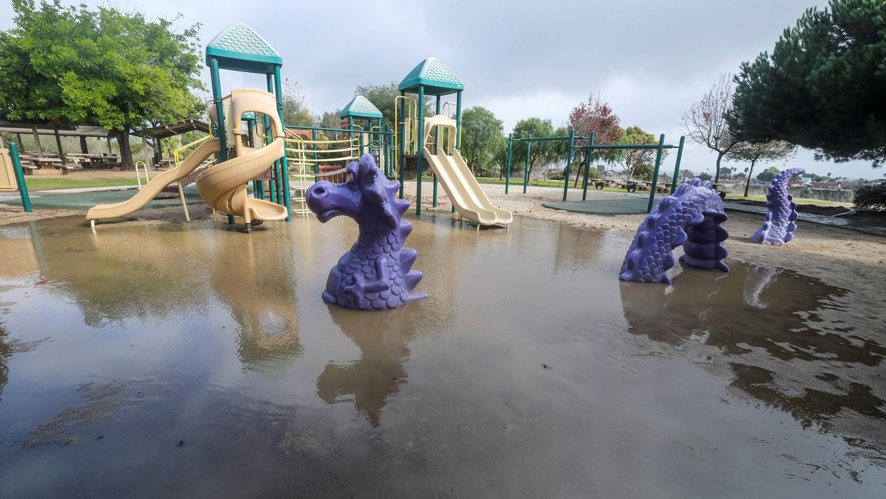
LOS ANGELES (CNS) — A strong Pacific storm that doused Southern California with rain, damaging winds and flooding was largely out of the area Friday, but it left behind some remnant damage and continuing high surf that has led to some instances of coastal flooding.
What You Need To Know
- NWS forecasters said Friday that over a two-day period, the storm dropped between 1.5 and 3 inches of rain in most areas
- Some mountains and foothills received between 3 and 6 inches of rain
- Some impacts of the storm continued to linger, mainly in the form of high surf that was expected to recede through the afternoon and Saturday
- Friday should be mostly dry, with temperatures rising by 3 to 6 degrees and a little more on Saturday, forecasters said
Some roadways across the Southland became overrun Thursday with water and debris, forcing some street and freeway lane closures. But the system dropped far less rain than originally expected as it quickly moved through the area.
The main front of the "bomb cyclone" moved into the area overnight Wednesday, but forecasters said the storm traveled much faster than anticipated, which "greatly reduced the amount of rainfall through the area," according to the National Weather Service.
NWS forecasters said Friday that over a two-day period, the storm dropped between 1.5 and 3 inches in most areas, but some mountains and foothills received between 3 and 6 inches.
A total of 6.74 inches of rain has fallen in Los Angeles County since Oct. 1. That's above the normal amount of 4.41 inches during the same period in previous years. Nearly 2 inches of rain, 1.95 inches, has already been recorded for January, according to media reports.
While the storm system had largely moved out of the area by Friday morning, some impacts continued to linger, mainly in the form of high surf that was expected to recede through the afternoon and Saturday.
A high surf warning had been in effect for Los Angeles County beaches until 1 p.m., when it was downgraded to a less severe high surf advisory that will remain in place until 6 p.m. Saturday. Forecasters said waves of 8 to 14 feet are possible, accompanied by dangerous rip currents, on L.A. beaches.
"There is an increased risk for ocean drowning," according to the NWS. "Rip currents can pull swimmers and surfers out to sea. Large breaking waves can cause injury, wash people off beaches and rocks, and capsize small boats near shore."
A high surf advisory will also be in place until 6 p.m. Saturday in Orange County coastal areas, where waves of 5 to 7 feet are possible.
There were reports of flooding in some coastal areas Friday morning. In Huntington Beach, southbound Pacific Coast Highway was closed Friday morning between Warner Avenue and Seapoint Street due to flooding, according to the city. The Long Beach peninsula was also dealing with flooded streets.
Damage caused by Thursday's storm was also still impacting some roadways.
In Studio City, a stretch of Mulholland Drive between Bowmont Drive and Summit Circle, where the ground collapsed beneath the roadway.
A number of roads in the Angeles National Forest were also closed due to the storm, including the Rowher Flats off-highway vehicle area, Dry Gulch Road, the Powerhouse Cut-Off and San Francisquito Motorway.
Friday should be mostly dry, with temperatures rising by 3 to 6 degrees and a little more on Saturday, forecasters said. But another atmospheric river will being moving over central California late Saturday and slowly make its way south. But forecasters said it won't carry much punch by the time it reaches the Southland, where only trace amounts of rain are likely, up to possibly a quarter-inch.
Another system is expected in the area between Sunday night and Monday, with another powerful punch of rain possible Monday into Tuesday.
"The strongest storm is forecast for Monday through Tuesday and will likely bring moderate to heavy rainfall, high surf and strong winds again across the region," according to the NWS.
In response to the rain, Los Angeles County health officials issued their standard warning for people to avoid entering ocean water near discharging storm drains, creeks and rivers.
Health officials noted that stormwater runoff that reaches the ocean can carry bacteria, chemicals, debris trash and other health hazards. People who come in contact with impacted water in the ocean could become ill, health officials said.


