Whew! Following Ian's disastrous Florida landfall, shortly after Hurricane Fiona wreaked havoc across the Caribbean, it seems like things are ramping up in the tropical Atlantic.
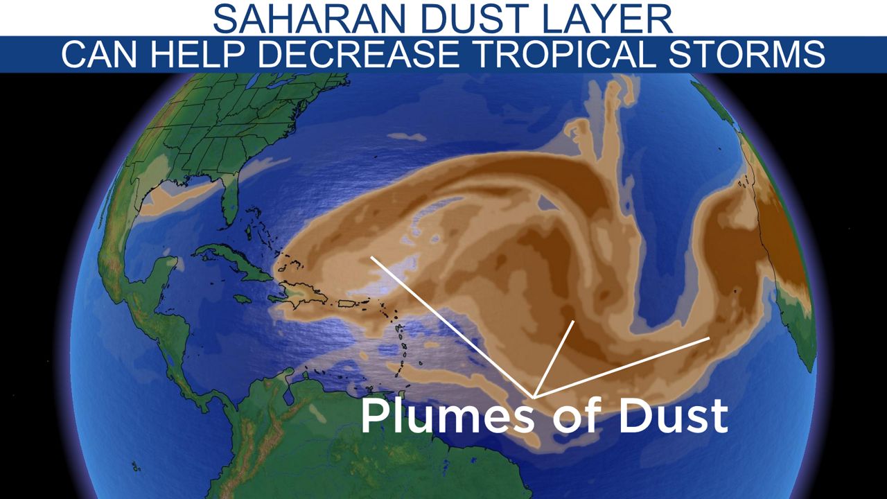
While it was a slower start to the season over on the East Coast, mainly because of a long Saharan dust season, the Pacific was on a roll, with a consistent string of storms firing up from May to September.

NOAA’s outlook for the 2022 eastern Pacific hurricane season showed a below-average season with 10-17 named storms, but they upped the chances for the Atlantic by calling for an active season with 14 to 21 named storms.
I moved here from Tampa, Fla. in August of this year. By that time, there were only three named storms in the Atlantic, with the last storm forming in early July. In the eastern Pacific, multiple storm names were used by August, and the season is nowhere close to being over.
Thanks to the slow start in the Atlantic, the Pacific is beating their counterpart by nearly double the storms.
Fifteen named storms have formed in the eastern Pacific compared to the Atlantic's nine named storms.
There was a lull in the Atlantic between July and September, but the season picked up once Tropical Storm Danielle formed in the open waters of the Atlantic.

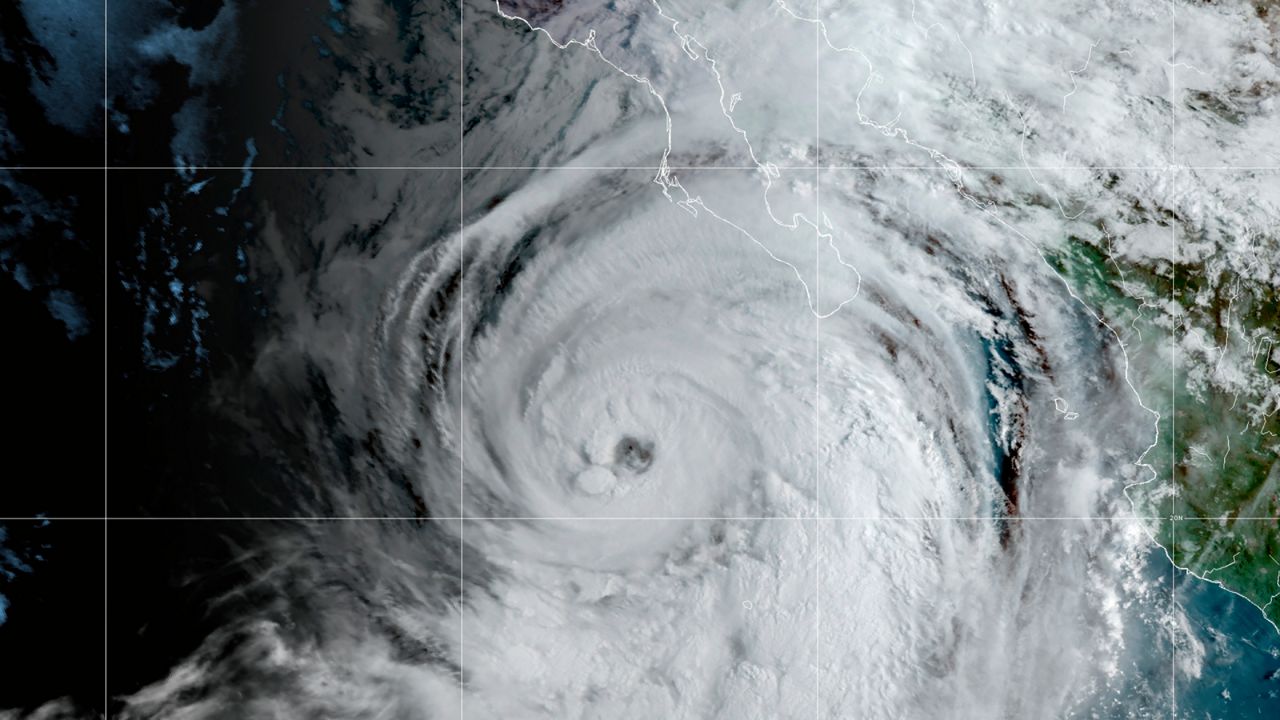
The storm more noticeable for SoCal was Hurricane Kay, which first affected the Baja Peninsula as steering currents drew it north.
The waters are too cool for hurricanes to sustain themselves this far north in the Pacific, but even a weakened Kay threw enough moisture into SoCal to create hazardous flooding situations in our mountains and foothills.
Activity is now picking up in the Atlantic, which is to no surprise from forecasters. The Atlantic hurricane season sees more activity between August and October, with the peak of the season occurring on Sept. 10.
The eastern Pacific basin has a less defined peak of July to September, but more storms can form through the end of October into November.


