A major storm is hitting SoCal with the brunt of the heavy rain expected to fall Thursday morning.
The first wave of rain Wednesday was largely light up until the afternoon and evening hours, when moderate to heavy rain started to impact portions of Ventura and Los Angeles Counties.
Rain has remained below flooding thresholds for much of Wednesday, but Thursday will be a different story.
Late Wednesday night into early Thursday morning, concerns about debris flows in lower elevation mountain communities will peak as the heaviest rain moves directly over burn scars. The plume of moisture will practically stall out over Los Angeles County, leading to concerns over the Bobcat fire burn scar, as well as the Santa Monica Mountains.
Rain totals start to quickly and steadily add up between 10 p.m. Wednesday and 8 a.m. Thursday as waves of moderate to heavy rain stream through.
The waves of heavy rain will largely be concentrated in one spot, leading to excessive rainfall for some. Pay extra attention to the purple color in the mountains below, indicating 4 to 5 inches of rain.
The general rainfall threshold to trigger debris flows over a 12-hour period is 1.90 inches of rain; the mountains below 5,000 feet are forecast to get two to three times that much.
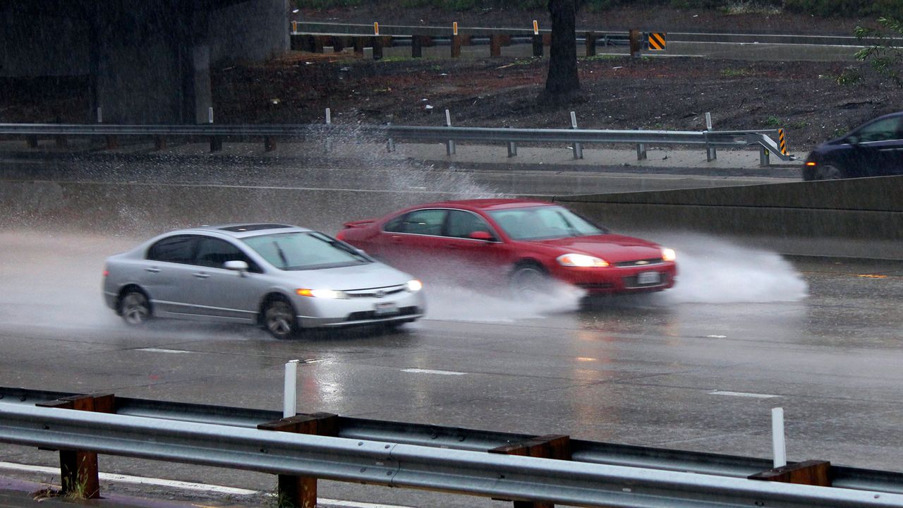
Remember, roadway flooding in the valleys is also likely as the ground becomes oversaturated and storm drains overwhelmed. A flood watch is in effect.
By the time it's all said and done, rain totals will once again far exceed December's monthly average in some cities.
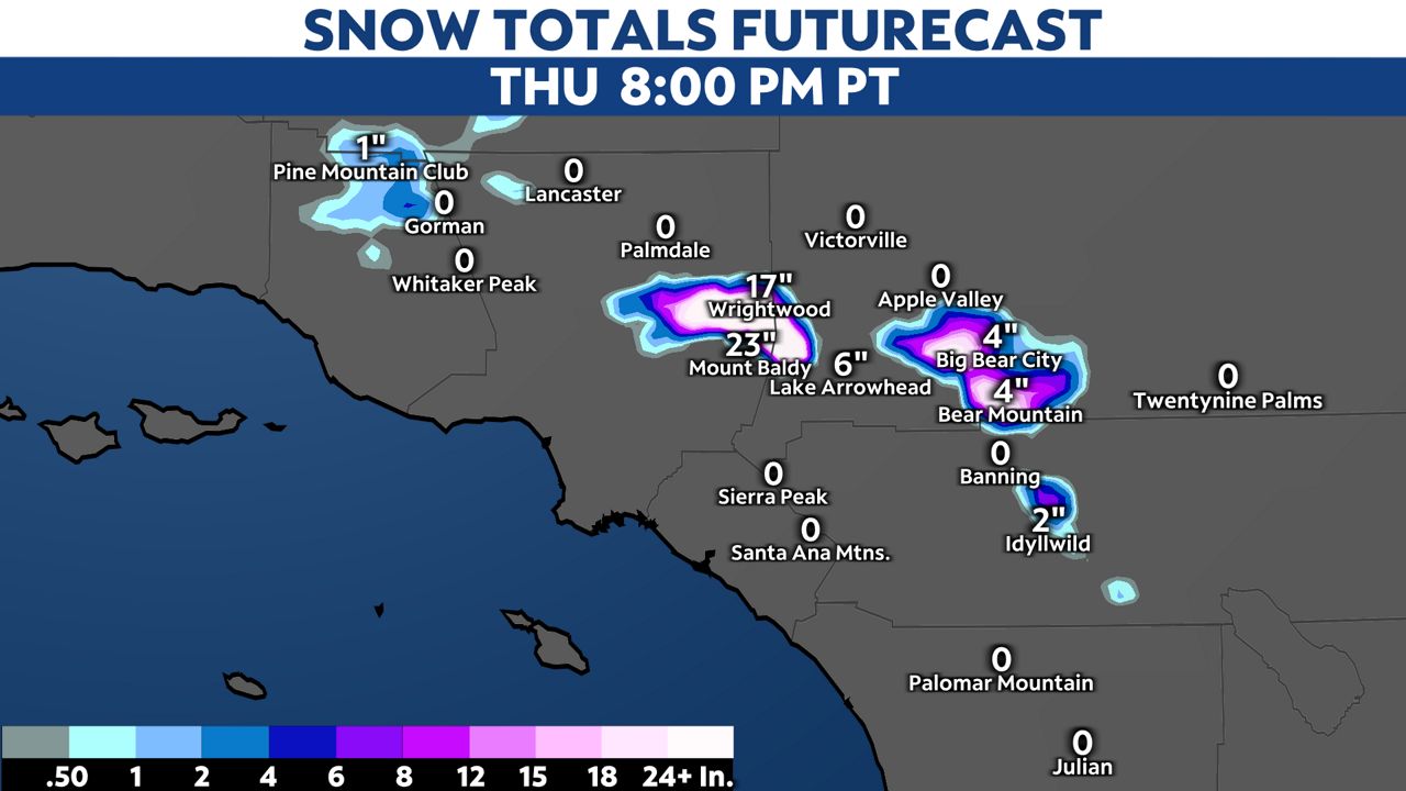
Let's not forget about the snow! The Grapevine may see snow flurries, but nothing should stick to the road given warmer road temperatures and the friction of cars driving over the pass.
The snow level will hover around 5,500 to 6,000 feet through Thursday. A winter storm warning is in effect.
Significant light, fluffy snow is expected in the highest elevations, typically above 7,000 feet, with ratios ranging between 12:1 and 17:1. Wet, heavy snow will fly between 5,000 and 6,000 feet, with ratios ranging from 6:1 to 9:1.
Snow totals will be highest where the moisture plume is directed, generally for Wrightwood and Mt. Baldy.


