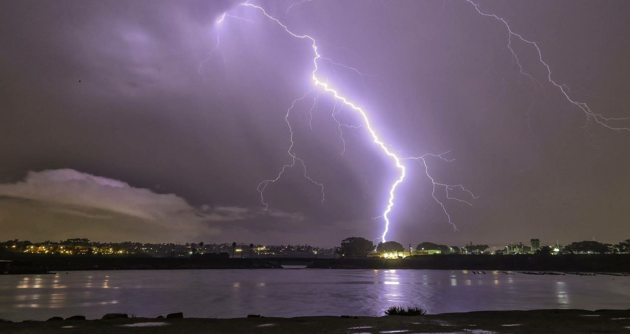
There hasn’t been much rain in Southern California so far this winter, except for the soaking storm that moved through December 28. Not only did that storm bring us significant rainfall, it brought some SoCal residents thunderstorms with lightning and hail.
Several people have reached out to me to ask, “Why don’t we get thunderstorms more often?”
First, let’s talk about the ingredients needed for a thunderstorm: moisture, instability, and lift.
Moisture and instability are the fuel needed for thunderstorms and lift is the trigger to set it all off. Southern California stormy patterns typically lack one or two of these ingredients, or they are borderline.
Note: There are additional ingredients for severe thunderstorms, but that’s a topic for another day.
It’s not a terribly humid environment in SoCal and it’s also quite temperate, with few big swings in temperature, even in the winter. While these characteristics makes us the envy of the rest of the country, it also makes SoCal an environment not well suited for thunderstorm activity.
Typically, SoCal will get thunderstorms from strong winter storms or from tropical moisture patterns—such as remnants of Eastern Pacific hurricanes or monsoonal moisture.
Winter storm activity involves a cold-core low pressure system: a storm that entrains cold, arctic air and brings it farther south.
Thunderstorms will either be embedded in the cold front or will form in an unstable region in the wake of the cold front, characterized by honeycomb-like cloud structures called open-cell cumulus. These patterns are very obvious on satellite imagery to the trained eye.
Open-cell convection occurs over the open ocean or along the coastline. That’s because as the cold, arctic air wrapped around the backside of a storm digs south, it is moving over relatively warmer ocean waters, creating instability—a key ingredient that again, is often missing or borderline in Southern California. The ocean provides an ample supply of moisture.
Once a thunderstorm cells move over land, it loses its moisture source and the shallow instability also weakens or disappears.
You won’t get large hailstones from these storms because the instability isn’t great enough, but pea-sized hail is big enough for most SoCal residents!
The first wave of thunderstorms came through with the cold front, which brought plenty of lightning strikes. Here is the approaching system:
And the system as the cold front came ashore with embedded thunderstorms:
In the wake of the cold front, there was a swath of open-cell cumulus over the Pacific, resulting in open-cell convection (thunderstorms).
Thunderstorms continued to hit coastal cities through the afternoon. As the storms moved inland, they eventually weakened and died.
Not without dropping some impressive hail first!
And of course, the rumbles of thunder could be heard and lightning seen with these storms.
There was even the slightest hint of rotation in a thunderstorm cell along the cold front early in the morning. Waterspouts or weak rotation signatures are also not uncommon with open-cell convection patterns.
Obviously, with so few cold-core low pressure systems so far this winter, we haven’t had the opportunity to get the ingredients for thunderstorms. Monsoonal or tropical moisture in the summer is also a rare event.
The bottom line is thunderstorms are relatively rare in Southern California due to insufficient ingredients.


