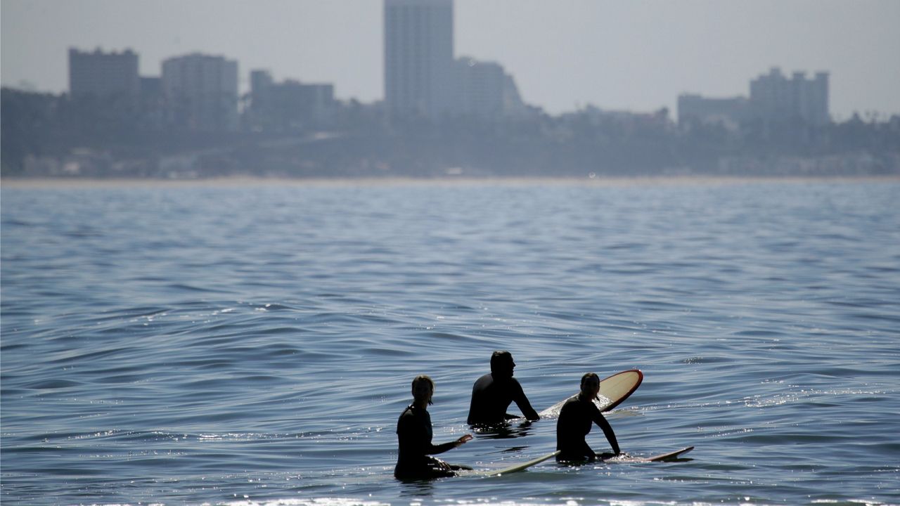
If you went to the beach during the August heatwave and took a dip in the ocean, you surely noticed the warm water. It was so warm in fact, Scripps Pier in San Diego set a record-high sea-surface temperature for the third straight year.
The water temperature at Scripps Pier peaked at 79.5 degrees Fahrenheit August 23, tying the record set in 2019. The record in 2018 was 78.6 degrees Fahrenheit, which broke the previous record of 78.4 degrees that stood since July 30, 1931.
The period of record at Scripps is 100 years long, meaning these are significant changes the past several years.
The warm waters came courtesy of a ridge of high pressure that remained parked over the Southwest region for much of August. Remember that streak of triple-digit days? Yeah, that high pressure system.
When high pressure sits over Southern California for a prolonged period of time, air sinks toward the ground, compressing the cooler marine air near the surface. This basically squashed out most of the marine layer, limiting onshore winds’ ability to churn up our ocean waters.
The water became fairly stagnant and warmed, just as the air did, into the 70s—and the mid-to-upper 70s at that.
Most of these numbers adjacent to the immediate coast are at least five degrees Fahrenheit above average.
It is highly unusual to have ocean waters that warm in Southern California, thanks to the California Current, seen below.
Under typical conditions, the California Current displaces water at the surface and water comes from deeper below to replace it—a process known as upwelling. That cooler water below is the reason ocean temperatures are so frigid in the San Francisco Bay Area.
What a difference a week makes! Now that the high pressure has shifted, water temperatures have dropped dramatically in a week’s time—from record-breaking values of nearly 80 degrees on August 23 down to the upper 60s by August 30.
Big shifts in sea-surface temperatures are not common—typically there are minor swings from day to night, but not a shift of 15 degrees in a week’s time.
Strong high pressure will be setting up over California this weekend. This pattern will bring back extreme heat—and stagnant air.
Not only will this mean triple-digit temperatures for many, it will also stifle onshore wind and the California Current. All signs point to a likely warming of ocean water as well, back into the 70s for Southern California—a good five to ten degrees above average.


