

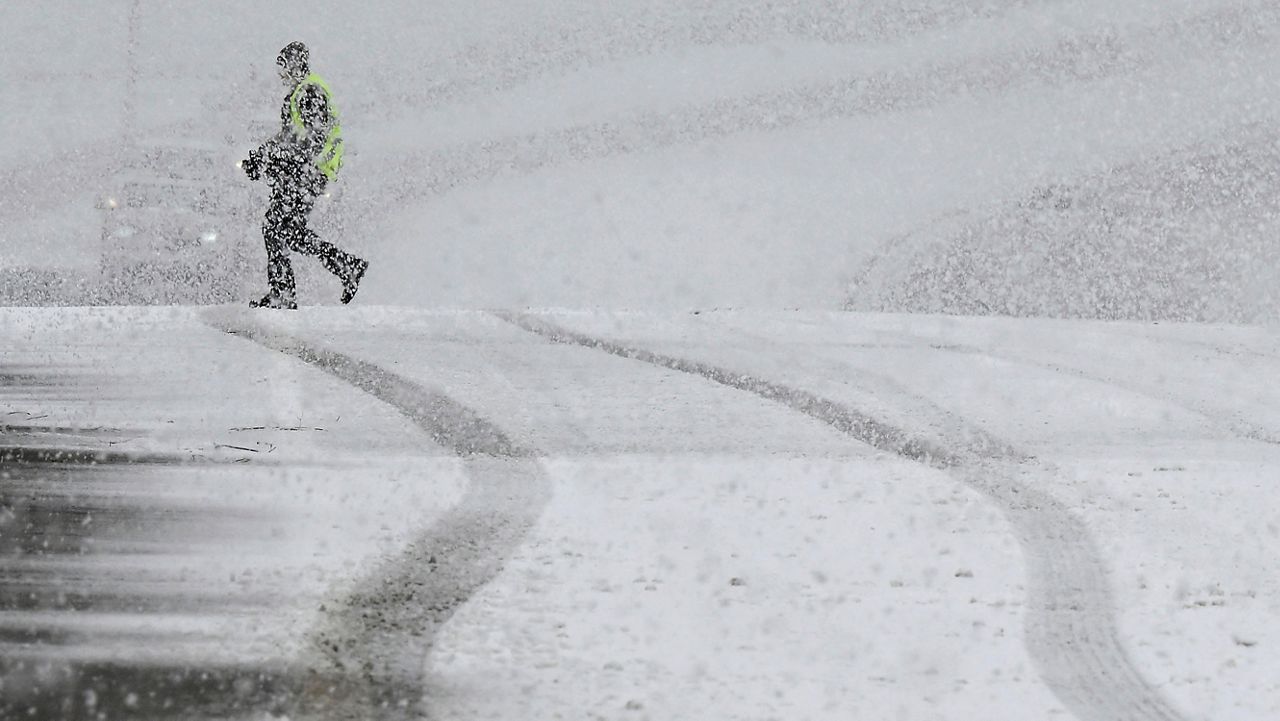
Southern California will continue to deal with multiple hazards on Saturday as a historic winter storm wallops the region with more widespread, steady and heavy rain, isolated thunderstorms, powerful winds and significant mountain snow.
Heavy rain, snow and a wintry mix of precipitation from a potent storm system spiraling over Southern California will continue to bring multiple hazards across the region on Saturday.
While a few rumbles of thunder can't be ruled out, the chances of severe weather remain relatively low through the duration of this storm. Regardless, this storm system did generate some stronger thunderstorms at the end of the workweek. Check out this video of hail falling in Long Beach on Thursday.
Multiple alerts issued by the National Weather Service (NWS) remain in effect through Saturday afternoon and evening.
The following NWS alerts remain in effect: Blizzard Warnings and Winter Storm Warnings for the mountain areas, Winter Weather Advisories over some of the lower elevations and foothills and Flood Watches for everywhere else.
The last time the NWS office in Oxnard issued a Blizzard Warning was during a powerful winter storm on Feb. 4, 1989.
Plus, it was also the first time NWS office in San Diego issued a Blizzard Warning for the San Bernardino County mountains.
Our local mountains could see a five to seven feet of snowfall once this storm ends, but some of the highest elevations could even see locally higher amounts.
The strongest winds are behind us and will continue to subside, but Saturday will stay fairly breezy for most.

Additional rainfall combined with excessive runoff could lead to more flooding over the weekend. Urban, rural and stream flooding are all possible anywhere, with the potential for mud and debris flows as well- and not just over burn scars.
The impressive rain totals expected by late Saturday evening are similar to what we got from the several atmospheric rivers we had in January.

Unlike all the past storms that impacted Southern California this year, this storm is a lot colder. It is certainly the coldest storm so far this winter.
The NWS in San Diego says the last time we had storms this cold was in 2011, 2014, 2017 and 2019.
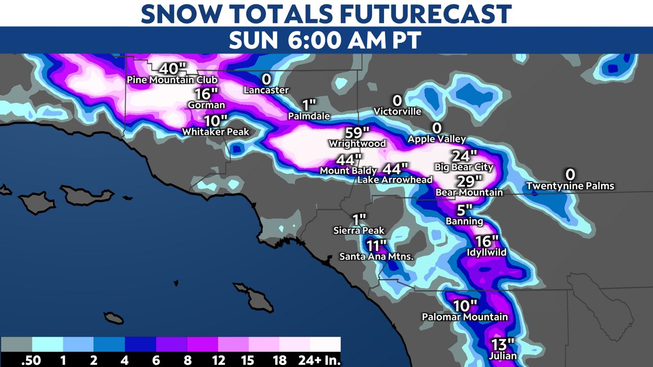
We have already seen more than four feet of snow at the resorts. The image below shows the amount of snow that is still possible through Saturday night. Even the model below shows snow along the LA coast and basin near the Palos Verdes Peninsula.
Travel will be dangerous through this weekend.
If you must drive out of town, keep an extra flashlight, blankets, food and water in your vehicle in case of an emergency.
Heavy snow and blizzard-like conditions will continue to burden mountain passes, some of which remain closed off. Staying off the roads remains your safest option until the storm passes and cleanup crews remove additional accumulations.
If you do attempt to drive, you may be stranded on the freeways until the California Highway Patrol can begin escorts... when it's safe enough.
Stay on top of the latest road conditions for the state by calling 5-1-1.
Our team of meteorologists dives deep into the science of weather and breaks down timely weather data and information. To view more weather and climate stories, check out our weather blogs section.