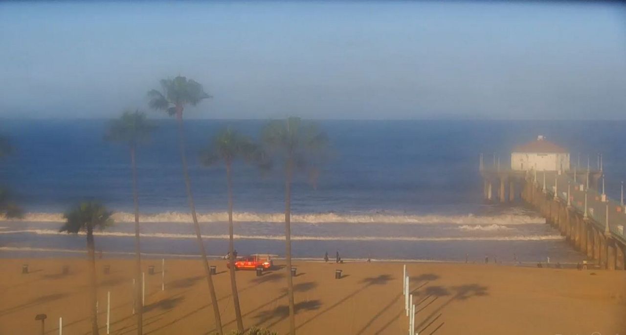
It's partly cloudy to mostly sunny across Southern California Wednesday morning. Our slight chance for any sprinkles to a light shower have pretty much dried up. Yesterday afternoon and night, we did receive a few hundredths of an inch in southern Orange County and northern San Diego County with up to a quarter of an inch in the Santa Ana Mountains. Everywhere else remained dry.
The storm that cooled us down is farther north now, but it's still keeping an onshore flow (cooler air) over the West. Daytime highs will be about the same as yesterday if not slightly cooler and cooler than average by 2-5 degrees.
It'll feel breezy at times again just about everywhere this afternoon and evening. The strongest winds, between 15-25 mph with gusts up to 45 mph, will blow at times across mountain ridge tops down to the deserts in LA, San Bernardino and Orange counties.
WEDNESDAY'S HIGH TEMPERATURES
Coast: Mid 60s to Low 70s
Basins: Low to Mid 70s
Valleys: Low to Mid 70s
Inland Empire: Low to Mid 70s
Mountains: Mid 50s to Low 60s
High Desert: Upper 60s to Low 70s
Low Desert: Mid to Upper 80s
WHAT’S AHEAD
Wednesday night through Saturday, another ridge of high pressure moves toward SoCal which will bring us another warming trend, but it still won't be as hot as last week. The warmest day will be Saturday with inland cities reaching the mid 80s to low 90s, but we're not expecting mid to upper 90s.
Sunday, it'll begin to gradually cool down. Another storm to our north will travel across the west but once again, we're going to miss much of the effects. At first, it appeared we could see at least a slight chance of showers on Monday and Tuesday. But, right now, computer models showing SoCal staying dry. One thing more certain is it'll cool us down again to near or slightly below average temperatures to start next week.


