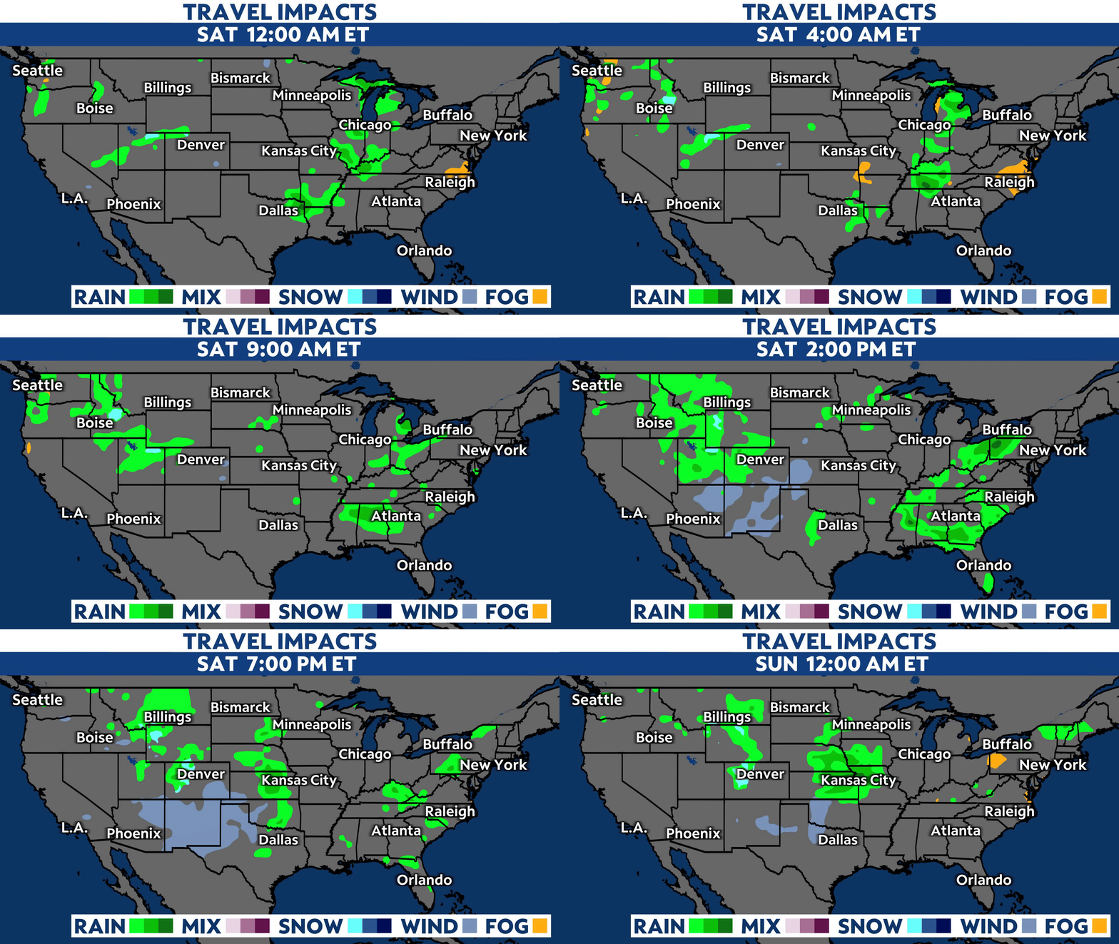
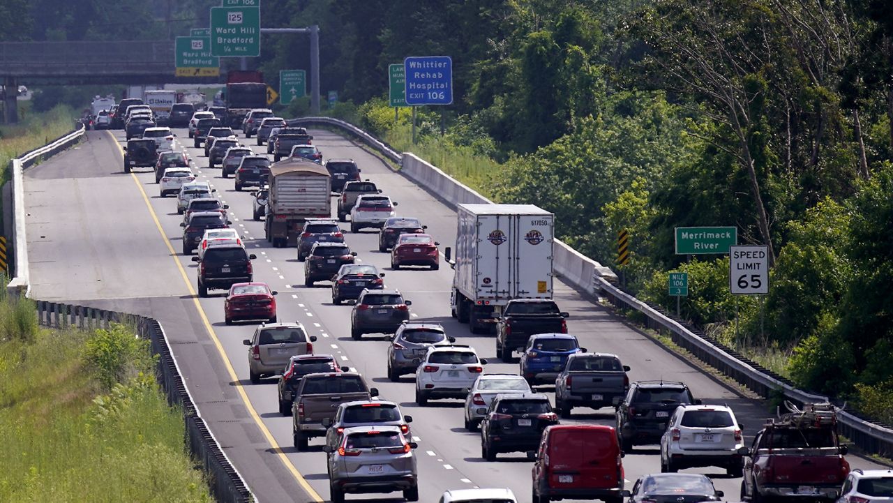
If you’re traveling for Memorial Day weekend, the weather could affect your plans. Severe weather will develop across the central and southern Plains on Saturday before shifting east toward the mid-Mississippi and Ohio River Valley on Sunday.
Dangerous and record-breaking heat is possible in South Texas, along the Gulf Coast to South Florida through Memorial Day.
Here’s what you need to know about the forecast this weekend.
Severe weather is going to be the primary threat for holiday weekend travelers on Saturday. Storms will develop across the central and southern Plains on Saturday afternoon and evening capable of producing all types of severe weather.

Oklahoma, Kansas and western Missouri will see the highest threat for severe weather, including several strong to violent tornadoes, extreme hail, damaging winds and heavy rainfall Saturday afternoon into the overnight hours.
Scattered showers are possible across parts of the interior Northeast and Mid-Atlantic late Saturday.
The Gulf Coast states, from South Texas to South Florida will experience summerlike heat with the potential for record highs. Heat impacts will likely be highest in South Texas, where heat index values will exceed 115 degrees through Memorial Day.
The western U.S. will be cool to kick off the weekend, as highs stay 5 to 15 degrees below normal.
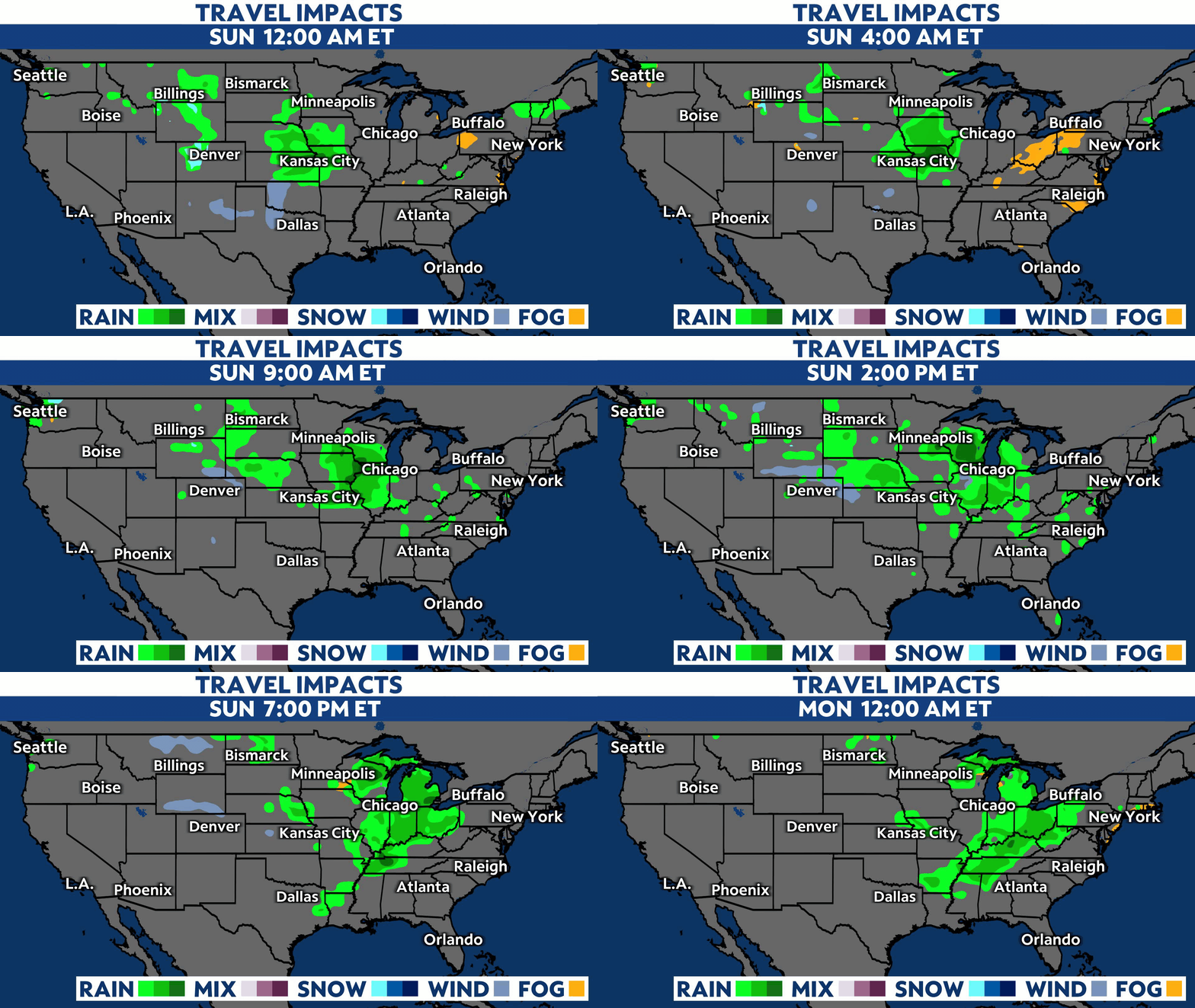
The same complex of storms from the Plains on Saturday will shift east, bringing the highest severe threat across parts of the mid-Mississippi and Ohio River Valley on Sunday into Sunday night.

Once again, it looks likely that storms will be capable of producing strong tornadoes, large hail, damaging winds and flash flooding. The highest threat will be for parts of eastern Missouri, Illinois, Indiana and western Kentucky.
Other areas that will see rain and storms include Wisconsin and Ohio. A weak front could bring some scattered showers to parts of the upper Northeast and New England on Sunday morning, but it will dry out early.
Dangerous heat remains in place across the southern states on Sunday. Heat index values will be highest in South Texas again as actual air temperatures climb into the upper 90s and even the triple digits. Overnight temperatures won’t cool off much with record warm lows, so little to no relief is expected to those without reliable cooling.
Western parts of the country will warm up slightly as temperatures climb back near normal for late May while the East Coast remains around 10 degrees above normal, topping out in the upper 80s to low 90s.
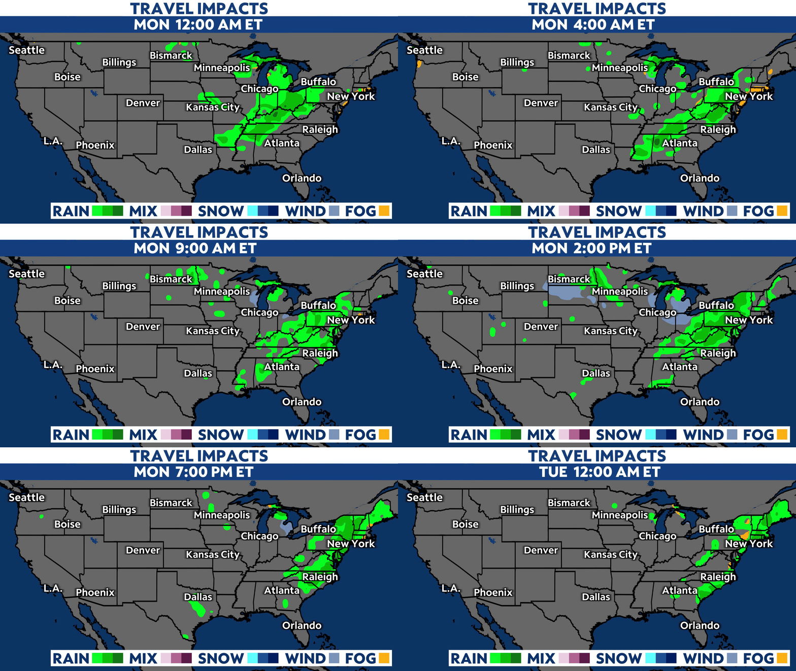
Wet weather will spread east on Memorial Day, bringing widespread shower and storm chances to parts of the eastern U.S., including the Northeast, New England and Mid-Atlantic.

Memorial Day will kick off with showers, likely across the Ohio River Valley and Mid-Atlantic. As the system moves northeastward, rain and storms will fill into the Northeast through the morning and New England through the afternoon.
Temperatures will also be rain-cooled for these areas, so it will feel more seasonable around the Great Lakes. A few scattered showers and storms are possible in the southeast, too.
The western U.S. also warms back up a few degrees above normal, and Texas and Florida continue to feel the summerlike heat with record highs possible and heat index values climbing well into the triple digits.
Our team of meteorologists dives deep into the science of weather and breaks down timely weather data and information. To view more weather and climate stories, check out our weather blogs section.


