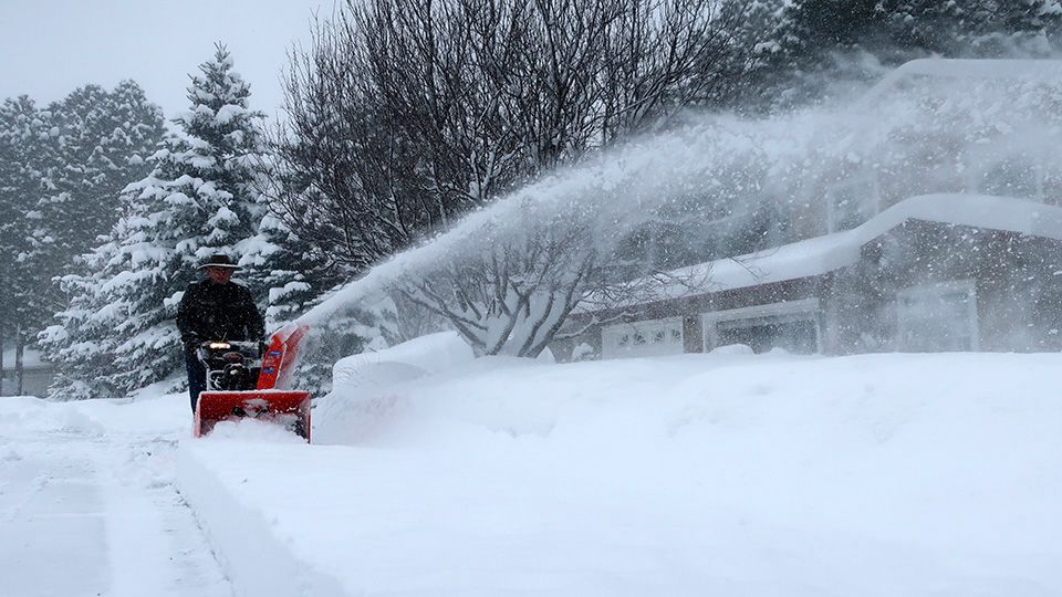
(Article Image Captured by Myron Wilson Jr. in Townsend)
For those of you who are sick and tired of the cloudy stretch, just think, it could be worse. On this date back in 2019, the high temperature in Milwaukee was -10, Madison was -10 as well, and Green Bay was -9. Today we have forecast highs in the upper 20s/low 30s. If it were me, I'd definitely prefer comfortable temps and cloudy over frigid cold and sunny.
A better chance for some light snow comes for you Friday. Not really expecting much accumulation (if any) with these brief snow showers, but some areas in southeastern Wisconsin could see a night dusting.
Cloudy start into the weekend with highs in the 30s for most.
Then, drum roll please, the sun *finally* returns for your Sunday. (I'm doing a little happy dance in the weather center right now.) And it gets better. Highs Sunday will be in the 40s. Woohoo!
Make sure to enjoy the sunshine and mild temps while they last because temperatures will continue to drop into next week.
GREATER MILWAUKEE AREA FORECAST:
Thursday: Cloudy and cold. A flurry or two? | High: 33 | Wind: Light & variable
Thursday Night: Cloudy and cold once again. Chance for light snow showers late. | Low: 25 (18 inland) | Wind: S 5mph
Friday: Cloudy with a few pockets of flurries and light snow possible late. | High: 34 | Wind: SW 5-10mph
Saturday: Cloudy and tad warmer. | Low: 28 | High: 38 | Wind: W 5-10mph
Sunday: Mostly sunny (*finally*) and even warmer. | Low: 31 | High: 43 | Wind: W 10-15mph
Monday: Partly to mostly cloudy and cool. | Low: 33 | High: 39
Tuesday: Cloudy sky and much colder with a chance of snow. | Low: 30 | High: 34
Wednesday: Mostly sunny (*yay*) and colder. | Low: 18 | High: 27
Follow the "Weather On the 1s" Team on social media for the latest weather updates:
Chief Meteorologist JD Rudd: Facebook | Twitter
Meteorologist Kristin Ketchell: Facebook | Twitter | Instagram
Meteorologist Brooke Brighton: Facebook | Twitter | Instagram
Meteorologist Matt Jones: Facebook | Twitter