


What a day in parts of the state! After a cloudy and damp start, Milwaukee managed to zoom up to 80°! This marks the warmest day of 2019 so far and the 1st time we've seen 80 degrees since last year.
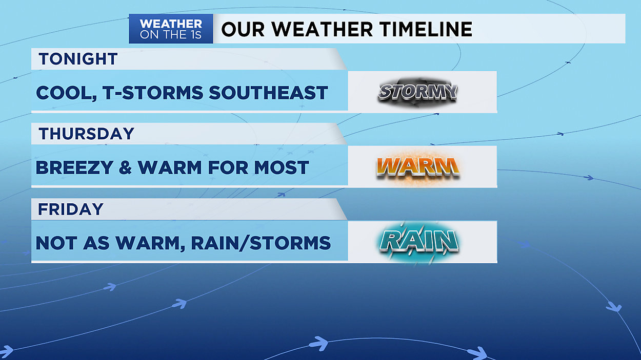
Now, thanks in part to that warm air, we have a chance for some heavy rain and thunderstorms tonight. The best window appears to be between 10p and 1a. Gusty wind and small hail also possible.
It looks like a dry day coming Thursday for most of the state. The sun will shine in central & southern WI, but the northern part of the state may have to battle clouds. Due to this, expect highs to range from the 70s south to 50s North.
Plan for more rain and thunderstorms, along with some slightly cooler air, on Friday.
GREATER MILWAUKEE AREA FORECAST:
Tonight: A few t-storms possible after 10pm. Mild and clearing overnight. | Low: 55 | Wind: SW 5-15mph
Thursday: Mostly sunny, breezy and warm. | High: 74 | Wind: W 10-20mph
Friday: Cloudy with scattered storms likely at times. Not as warm, especially lakeside. | Low: 49 | High: 70 | Wind: E 5-15mph
Saturday: Partly cloudy and much warmer. | Low: 59 | High: 81 | Wind: SW 5-15mph
Sunday: Partly cloudy and not as warm. | Low: 52 | High: 71
Memorial Day: Partly cloudy with a small chance of a storm or two. | Low: 47 | High: 69
Tuesday: Mostly cloudy with a chance of rain & thunderstorms. | Low: 48 | High: 73
Wednesday: Partly cloudy with a chance of thunderstorms. | Low: 51 | High: 69
Follow the "Weather On the 1s" Team on social media for the latest weather updates:
Chief Meteorologist JD Rudd: Facebook | Twitter
Meteorologist Kristin Ketchell: Facebook | Twitter | Instagram
Meteorologist Brooke Brighton: Facebook | Twitter | Instagram