


Well, it looks like it's going to be a rainy weekend. Cooler temperatures to start out your Saturday, but as a warm front pushes into Wisconsin, temperatures will become significantly warmer. Highs Saturday and Sunday for some areas will reach into the 70s.
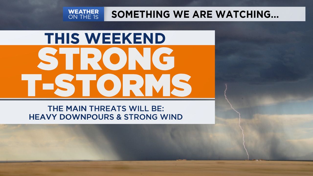
Along with showers, thunderstorms will pop-up at times. Some of these, could be a bit stronger. The main threat with these storms will be strong winds (especially Sunday), heavy downpours (especially Saturday night) and large hail.
The other thing that we have to continue to monitor is flooding. Some of these storms may lead to isolated occurrences of Flash Flooding. But through Sunday, flooding will remain a concern due to continuous heavy rainfall, leading to some areas seeing 1"-3" of total rainfall this weekend.
GREATER MILWAUKEE AREA FORECAST:
Saturday: Cloudy with occasional showers and T-storms, especially in the afternoon. | High: 55 Lakefront, 70 Inland | Wind: E becoming SE 5-10mph
Saturday night: Cloudy with occasional showers and T-storms. | Low: 53 | Wind: S becoming NE 5-10mph
Sunday: Cloudy with occasional showers and T-storms. | High: 70 | Wind: SE becoming SW 10-20 G 30mph
Monday: Partly cloudy and cooler. | Low: 46 | High: 57
Tuesday: Mostly cloudy and cool with a good chance of scattered showers and T-storms. | Low: 43 | High: 48 Lakefront, 55 Inland
Wednesday: Partly cloudy and much warmer. | Low: 48 | High: 75
Thursday: Partly cloudy with a chance for some showers. | Low: 57 | High: 74
Friday: Mostly cloudy. | Low: 53 | High: 73
Follow the "Weather On the 1s" Team on social media for the latest weather updates:
Chief Meteorologist JD Rudd: Facebook | Twitter
Meteorologist Kristin Ketchell: Facebook | Twitter | Instagram
Meteorologist Brooke Brighton: Facebook | Twitter | Instagram