


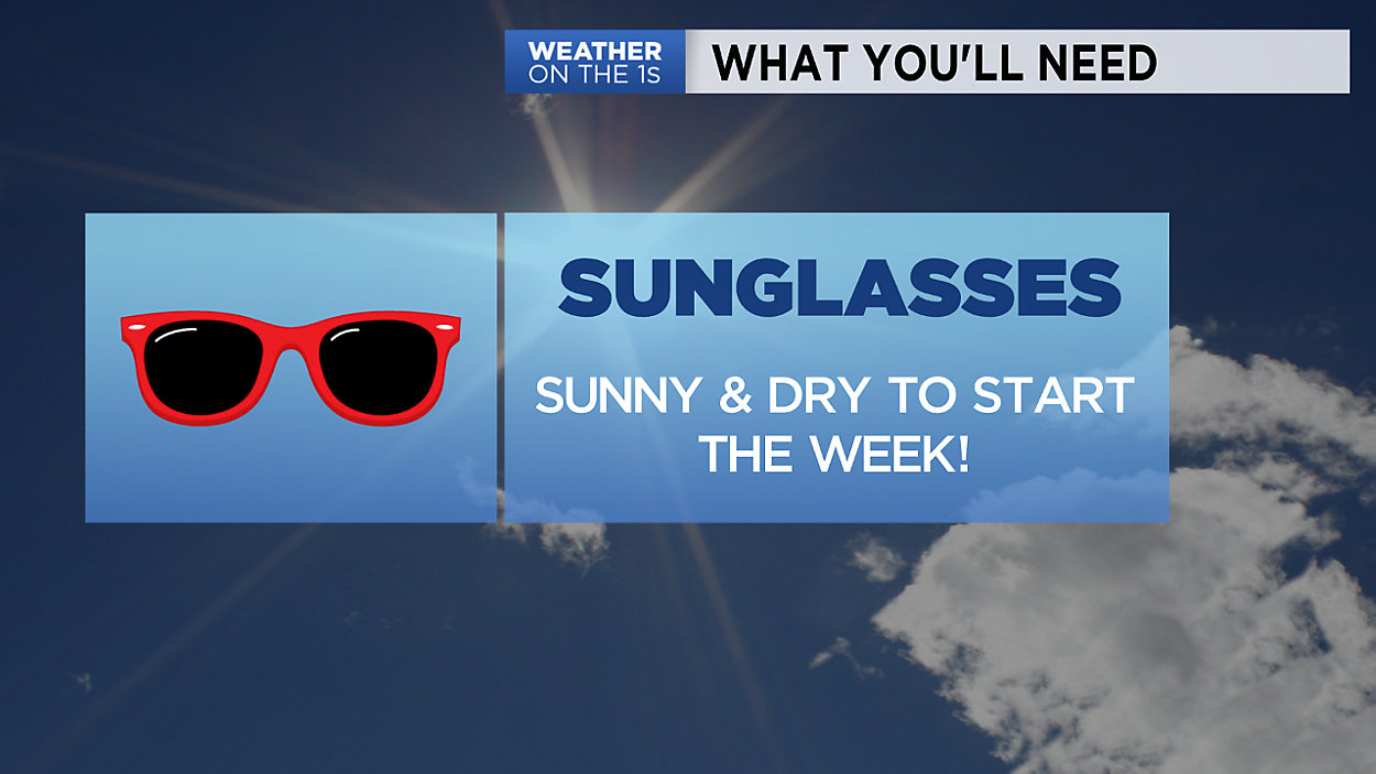
Sunshine is here to stay through the start of the new week. High temperatures across Wisconsin will be in the 50s and 60s on Monday with even warmer weather moving in by Tuesday. Highs will climb into the 60s and even 70s in some areas with more sunshine and just a few clouds Tuesday afternoon. A shower or two will be possible late Tuesday night into early Wednesday as our next storm system moves through the state.
The biggest thing to watch this week will be a stall front from Thursday through Sunday. It's exact location will determine who warms up and who stays cooler. Areas to the South of front will likely see temperatures in the 70s, whilethose to the North will remain a bit cooler. With the front nearby, we'll see several chances of showers and some storms so keep checking back for updates later this week!
GREATER MILWAUKEE AREA FORECAST:
Monday: Mostly sunny and warmer, except near the lake. | High: 58 (60 inland) | Wind: NE 5-15mph
Monday Night: Mainly clear and cool. | Low: 43 | Wind: W 5-10
Tuesday: Partly cloudy and warmer. A shower possible after sunset. | High: 66 | Wind: S 5-15mph
Wednesday: Mostly cloudy with a chance of an early morning shower. | Low: 49 | High: 64 | Wind: SW/NW 5-15mph
Thursday: Partly cloudy and mild with a chance for rain/thunder late day. | Low: 46 | High: 64
Friday: Mostly cloudy with a chance of rain and thunder. | Low: 50 | High: 61
Saturday: Partly to mostly cloudy with a chance of thunderstorms. | Low: 48 | High: 69
Sunday: Mostly cloudy with a chance of thunderstorms. | Low: 54 | High: 65
Follow the "Weather On the 1s" Team on social media for the latest weather updates:
Chief Meteorologist JD Rudd: Facebook | Twitter
Meteorologist Kristin Ketchell: Facebook | Twitter | Instagram
Meteorologist Brooke Brighton: Facebook | Twitter | Instagram