


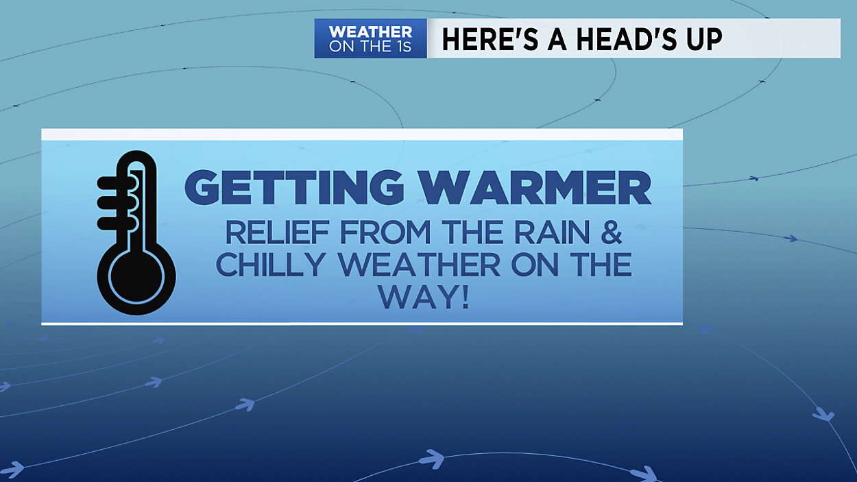
After what can only be described as an annoying stretch of cloudy and cool temperatures across Wisconsin, much drier and warmer weather will start to move in Friday and this weekend. Unfortunately, that means we have one more day of cloudy, chilly and dreary conditions with a few showers possible Thursday morning into early afternoon.
Clouds will start to break late in the day Thursday with clearing continuing overnight. Friday will feature a triumphant return of sunshine but high temperatures will still be cool for this time of year, in the 50s for most places.
The weekend will feature a fair amount of sunshine both Saturday and Sunday with a small chance of a late-day shower on Sunday. Cooler air returns next week along with the chance of more rain so enjoy the sunshine while we have it!
GREATER MILWAUKEE AREA FORECAST:
Thursday: Morning rain and fog likely. Showers may linger through the afternoon. Staying cool. | High: 52 | Wind: NE 5-15mph
Thursday Night: Decreasing clouds. | Low: 40 | Wind: N 3-6mph
Friday: Clouds and sun mix, dry and milder. | High: 58 (cooler lakeside) | Wind: NE 5-15mph
Saturday: Mostly sunny and much warmer. | Low: 39 | High: 66 (cooler lakeside) | Wind: N/SE 5-15mph
Sunday: Mostly cloudy and mild. Cannot rule out a stray shower or two. | Low: 45 | High: 68 (cooler lakeside)
Monday: Mostly cloudy and mild. A shower possible. | Low: 43 | High: 64
Tuesday: Mostly cloudy and not as mild with a small chance of a shower. | Low: 45 | High: 58
Wednesday: Cloudy and cooler. Cannot rule out some showers. | Low: 42 | High: 52
Follow the "Weather On the 1s" Team on social media for the latest weather updates:
Chief Meteorologist JD Rudd: Facebook | Twitter
Meteorologist Kristin Ketchell: Facebook | Twitter | Instagram
Meteorologist Brooke Brighton: Facebook | Twitter | Instagram