


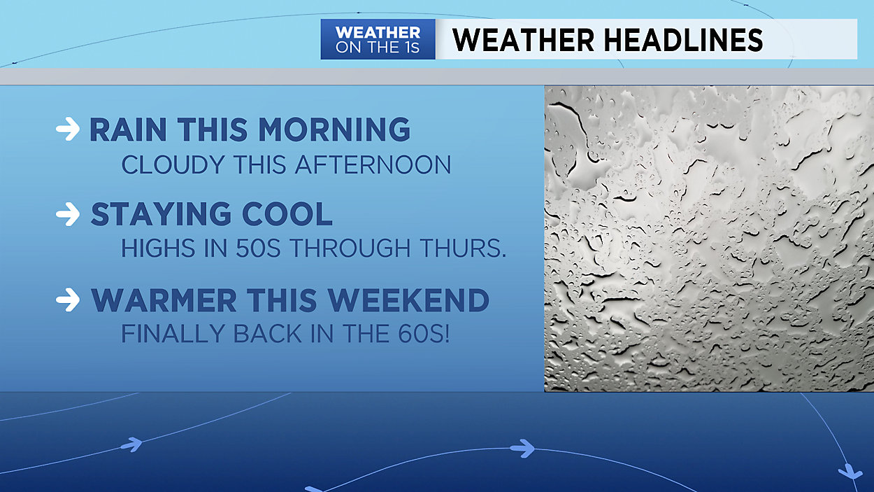
Showers and areas of fog will impact much of the state of Wisconsin through the morning hours on Wednesday before we dry out briefly Wednesday evening. Watch for fog to develop again overnight into early Thursday with a few showers likely again Thursday morning. Not everyone will see rain on Thursday, but spotty showers are possible for many locations.
Drier and warmer air finally moves in for Friday and the weekend. Expect a mix of sun and clouds with temperatures in the 60s and 70s!
A weak cold front will slide through the state on Sunday, bringing just a small chance of rain along with it and slightly cooler temperatures for northern Wisconsin.
GREATER MILWAUKEE AREA FORECAST:
Wednesday: Morning rain and fog move out by the afternoon. Still cool. | High: 51 | Wind: N 5-15mph
Wednesday Night: Cloudy with areas of fog possible. | Low: 40 | Wind: N 5-10mph
Thursday: Mostly cloudy with a chance of a few showers. | High: 50 | Wind: N 5-15mph
Friday: Mostly sunny, dry and warmer. | Low: 40 | High: 60 (cooler lakeside) | Wind: NE 5-15mph
Saturday: Mostly sunny and much warmer. | Low: 41 | High: 68
Sunday: Mostly cloudy and mild. Cannot rule out a stray shower. | Low: 48 | High: 68
Monday: Partly cloudy and mild. A shower possible. | Low: 43 | High: 64
Tuesday: Partly cloudy and not as mild with a small chance of a shower. | Low: 45 | High: 60
Follow the "Weather On the 1s" Team on social media for the latest weather updates:
Chief Meteorologist JD Rudd: Facebook | Twitter
Meteorologist Kristin Ketchell: Facebook | Twitter | Instagram
Meteorologist Brooke Brighton: Facebook | Twitter | Instagram