OHIO — The Ohio Department of Transportation recently launched a new online dashboard dedicated to unmanned aircraft systems (UAS), or drones, and their flight operations.
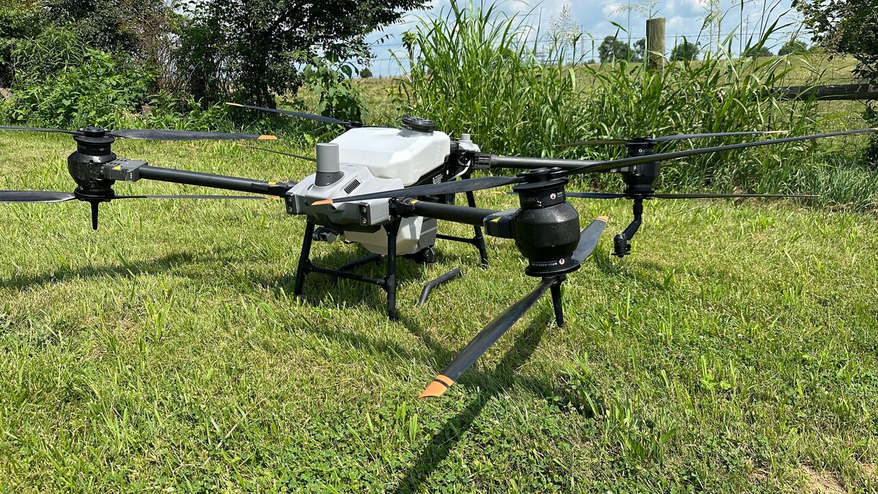
ODOT's "Ohio UAS Center" is for state agencies to help develop the UAS program and manage flight operations. Each operation is broken down by location, type of operation, aircraft type, which includes a description of the drone used, and customer.
One goal is to share how ODOT uses drones to support infrastructure on the ground and create innovation amidst government operation.
Within the dashboard, there are six types of flights: bridge inspection, construction, mapping, public information, training and specialized services. A breakdown of the operations for each flight can be found here.
Users can also use the dashboard to see the total number of flights, the number of miles flown and total hours flown for a specified time period. The data goes back to the previous month with the "Current Flights" tab, where users can hover over each county in the district to see how many drone flights occurred.
In February, ODOT had 168 drone flights across the state, with a majority, 49, being for testing. For equipment, Skydio drones were used for 86, of the flights throughout the month.
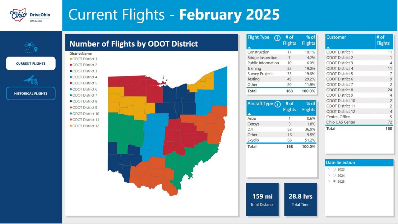
On the dashboard is a "Historical Flights" tab where users can go back to look at data from previous years. The data goes back to 2023 and the date range can be changed to see summaries by months, quarters or years.
Visitors can also see a breakdown of flights by customer, which includes each of ODOT's 12 districts, the department's central office and the Ohio UAS Center. Under the Ohio UAS Center, ODOT pilots for other state agencies are included, such as the Ohio Department of Natural Resources, Ohio Department of Health, the Ohio Emergency Management Agency and more.
To visit the dashboard, click here.