

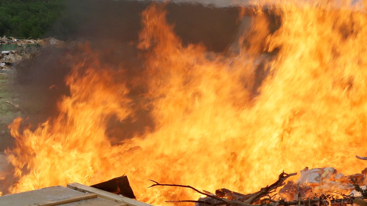
While drought isn’t a requirement to have increased fire activity, it can certainly enhance it. With ongoing drought conditions being felt across much of the state, knowing the difference between a Red Flag Warning and a Fire Weather Watch can be critical.
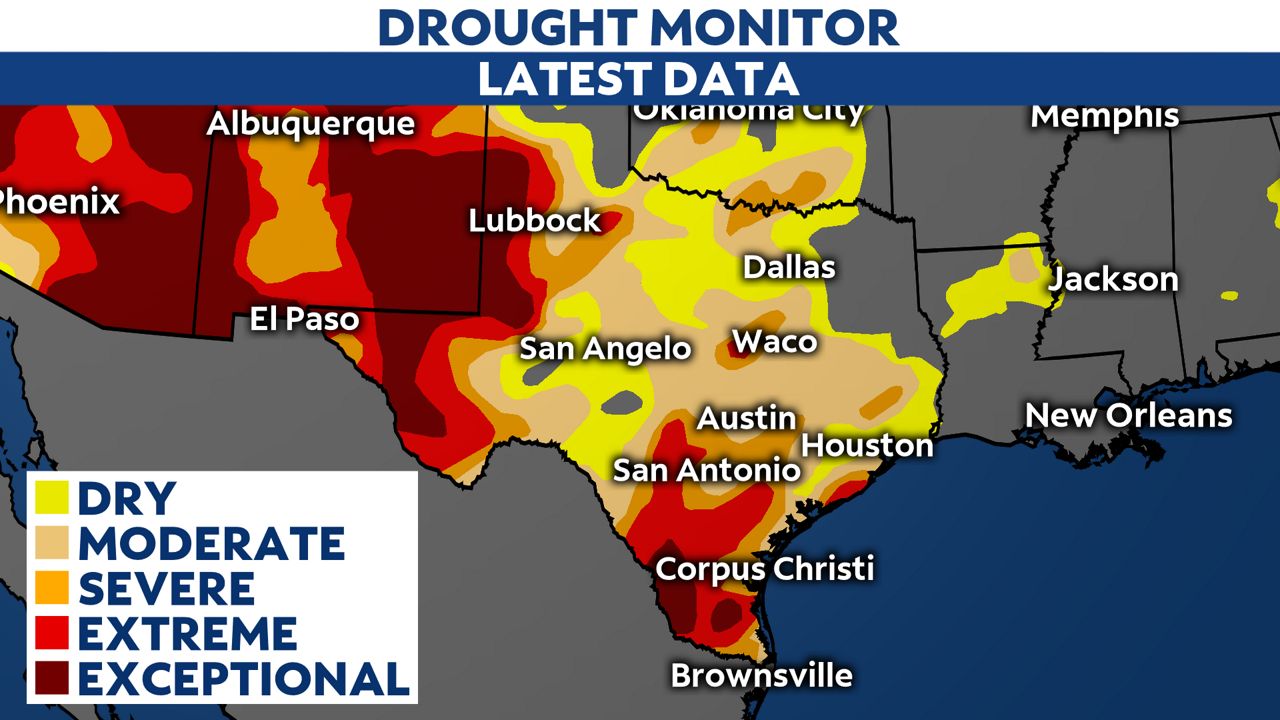
Drought has been a significant factor in six of the last seven La Niña years. The latest Drought Monitor continues to show widespread drought across the state. We'll see what effect recent rainfall has had when the updated Drought Monitor is released on Thursday.
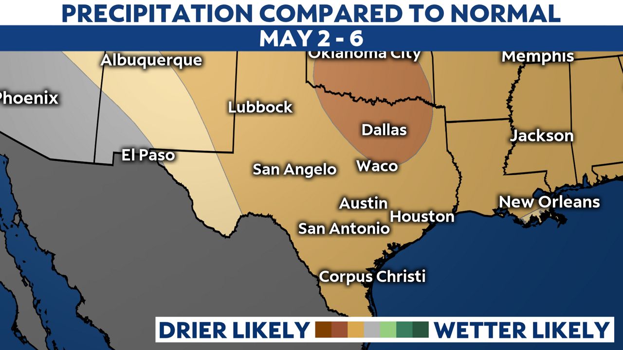
The Climate Prediction Center expects drier-than-normal conditions to continue as we start May.
A few weather criteria need to be met or forecast to occur for a Fire Weather Watch or Red Flag Warning.
Typically, minimum relative humidity levels have to be 15% or less. Winds also need to be strong, sustained at 20 mph or gusts of at least 35 mph. Also, the National Fire Danger Rating System must have a fire danger rating of “high” or higher.
A Fire Weather Watch is issued to indicate the potential for dangerous fire weather conditions 24 to 96 hours before the expected start of those criteria.
A Red Flag Warning is issued for an impending or occurring Red Flag Event. It means forecasters have a high degree of confidence that weather and fuel conditions consistent with local Red Flag Event will occur in 12 to 24 hours or less.