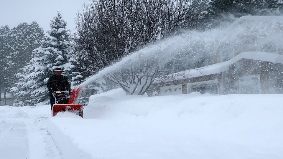


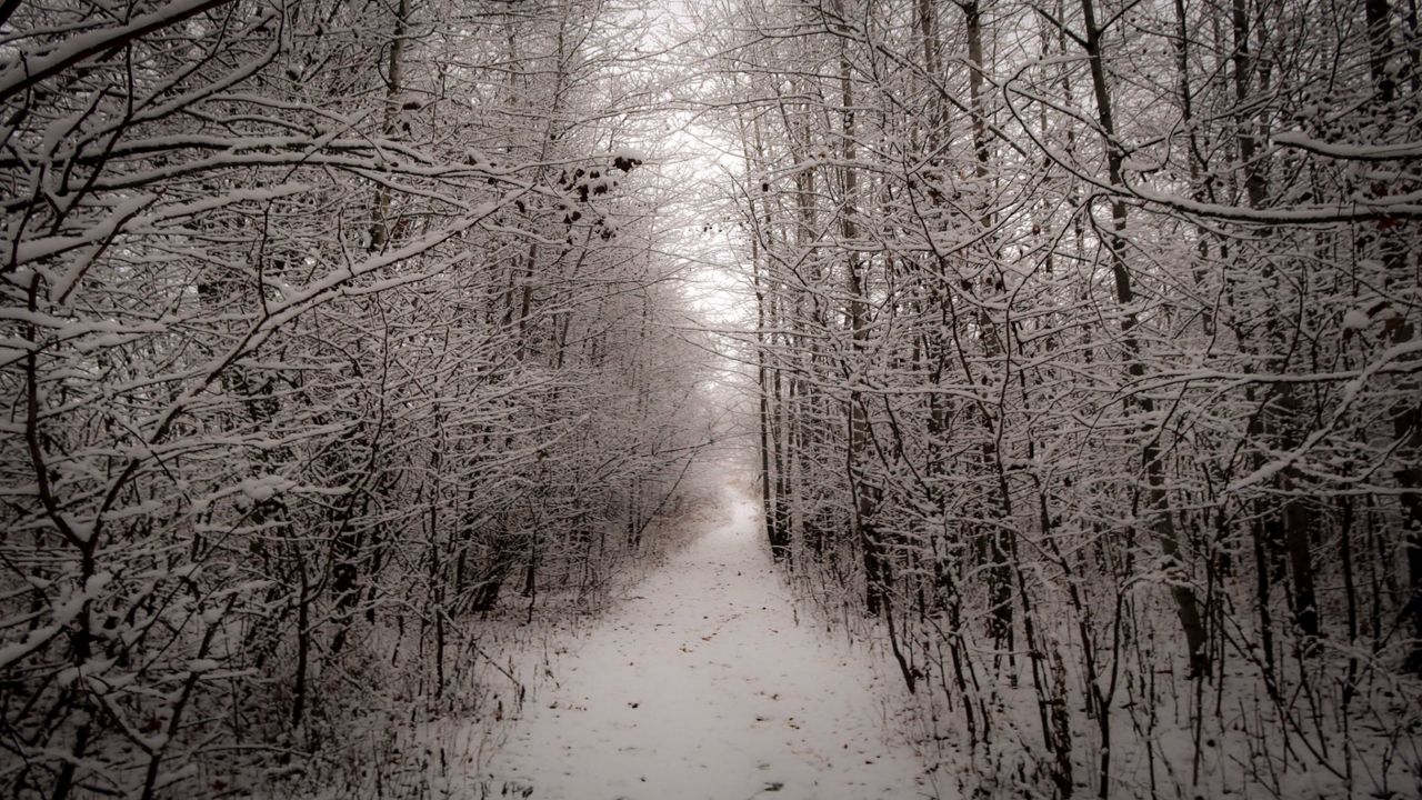
It's time to bust out the shovels. Expect some accumulating snow through early Wednesday.
For some, this will be the first measurable snowfall of the season.
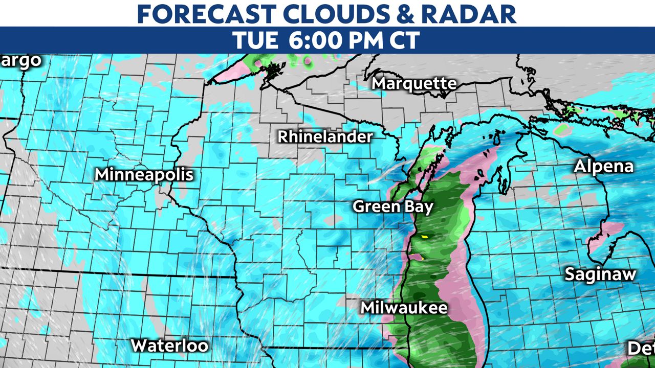
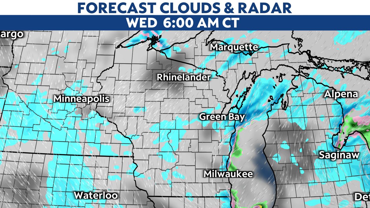
Snow showers quickly push north of the Illinois border this morning and will spread to northern portions of the state by late morning.
Many areas will start with a rain and snow mix before transitioning to all snow by mid-morning.
For those hugging Lake Michigan, warm air will likely mix in and the transition will happen much later in the day. Expect overall snow totals will be much lower.
Generally, the snow will be wet and slushy. Impacts should be minimal; however, the snow could reduce visibility at times.
Most areas will likely see light accumulations of 1 to 3 inches, with higher amounts in spotty pockets.
A few places could get totals up to 4 to 5 inches.
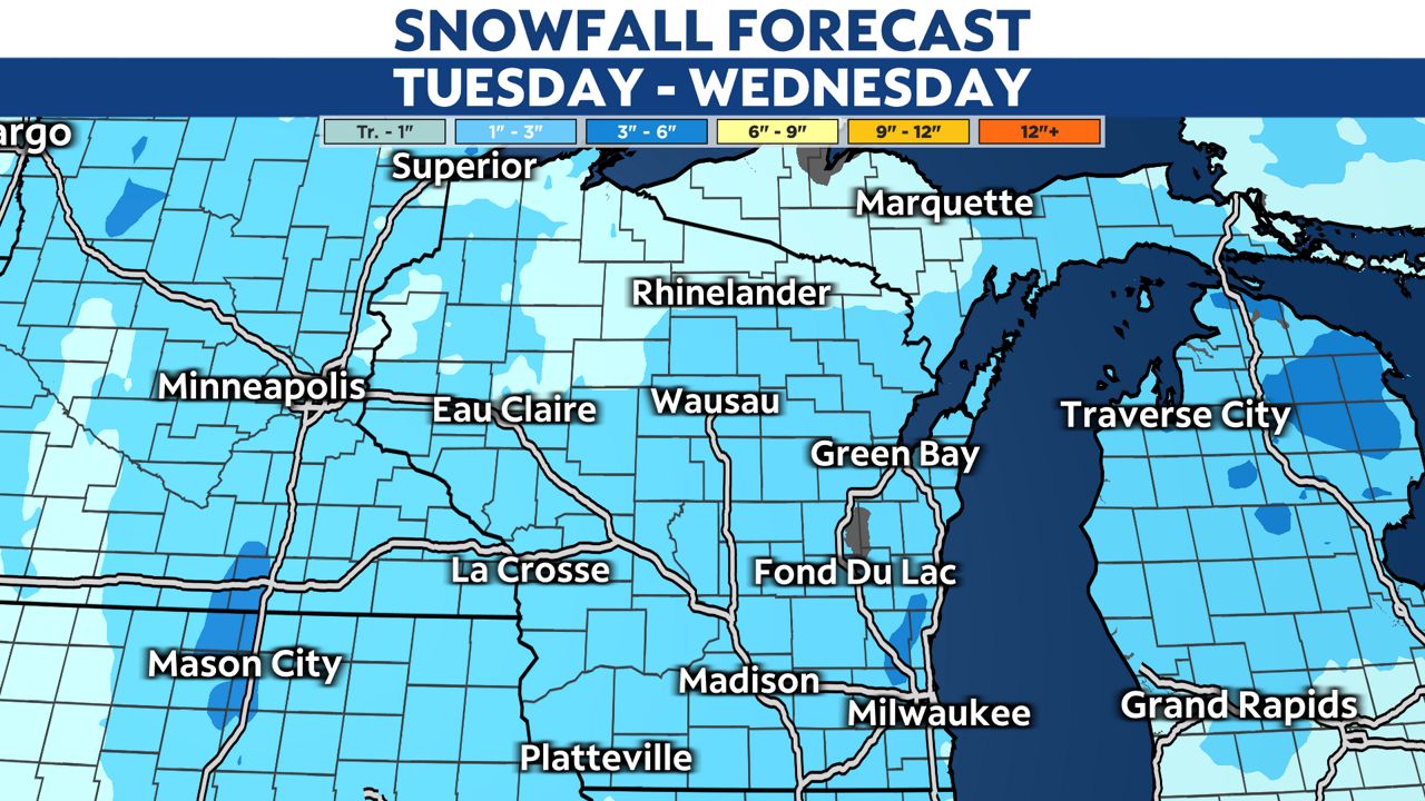
Snow showers will most likely extend through early Wednesday. Road conditions will improve by Wendnesday afternoon.
Stay with Spectrum News 1-Wisconsin for the latest updates and potential hazards. Make sure to send us your weather photos!