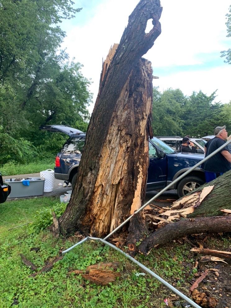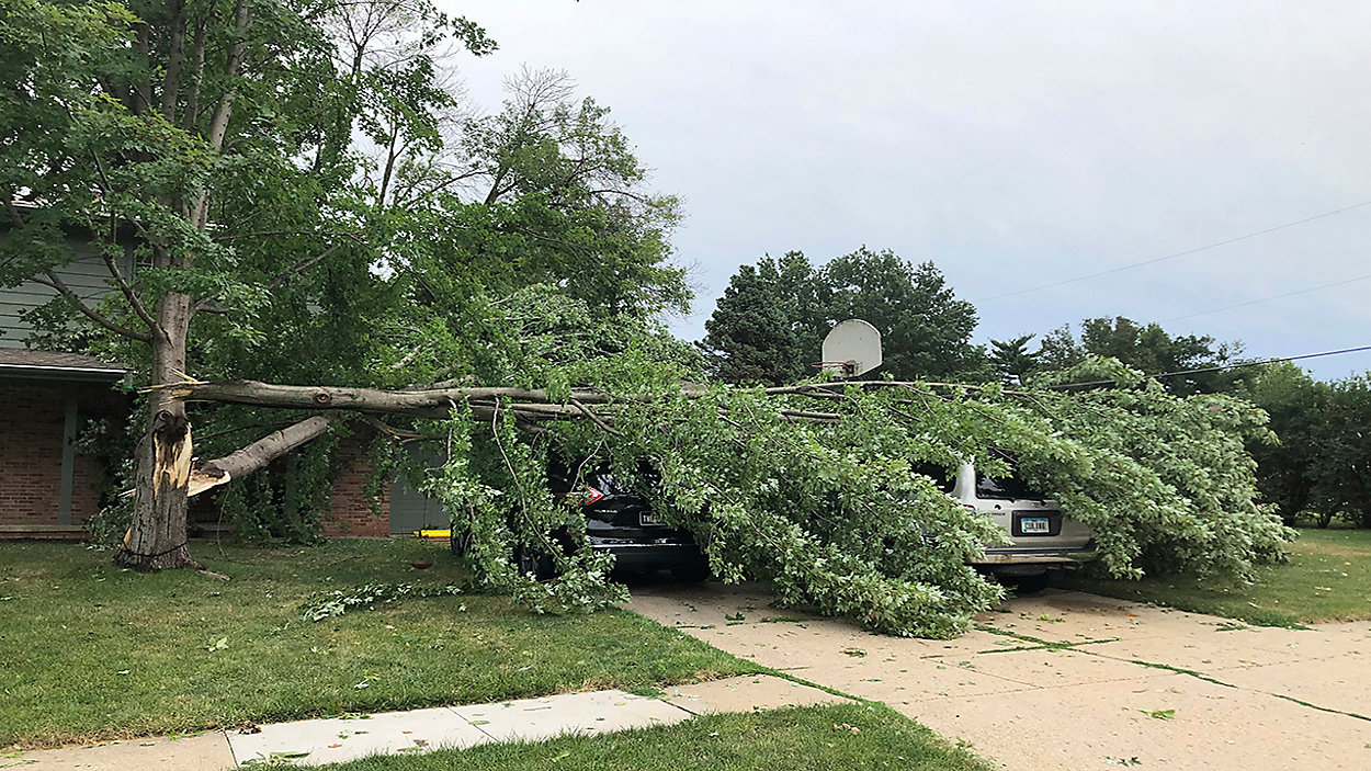
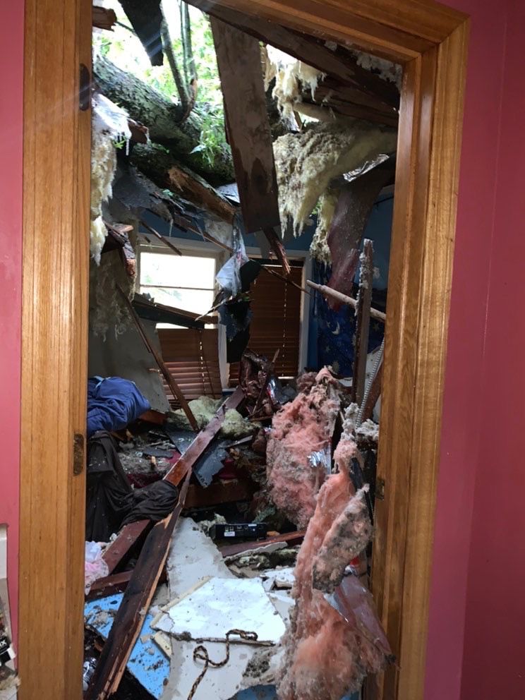
A powerful derecho swept through the Upper Midwest on Monday with peak wind gusts topping out over 100 mph.
A cluster of thunderstorms developed in the Midwest on Monday, leading to widespread straight-line wind damage to trees and power lines. This type of weather phenomena is known as a derecho.
To be a true derecho, thunderstorms must cause damage of at least 400 miles long with a width of at least 60 miles. The damage is usually caused by straight-line wind gusts that can exceed hurricane force.
The term derecho is derived from the Spanish word that can be interpreted as "straight ahead" or "direct". Derechos can also spawn tornadoes.
- Midway, Iowa: 112 mph
- Le Grand, Iowa: 106 mph
- Marshalltown, Iowa: 100 mph
- Blairstown, Iowa: 90 mph
- Marion, Iowa: 90 mph
- Colfax, Iowa: 80 mph

More than 500 storm reports were due to wind damage from South Dakota to Indiana. The Storm Prediction Center estimates the complex traveled over 750 miles within 14 hours with an average speed of 55 mph.
The complex of thunderstorms continued to sink south into the Ohio River Valley on Monday evening, but fortunately, it weakened by then.
As of Tuesday, more than 800,000 customers remained without power due to the storms, with the majority of the outages in Iowa and Illinois.