


If your next adventure involves one of the many hiking and biking trails Wisconsin has to offer, there’s a new planning tool you may want to check out. The Travel Wisconsin website now offers weekly updates on trail networks across the state.
"Whether you’re from out of state, or you’re a current Wisconsin resident, you can go to this report and be like, 'I’ve never been to this area,'" said Mary Monroe Brown, Director of the Wisconsin Office of Outdoor Tourism. "I want to go experience the trails in that area."
For those planning to spend some time off the beaten path, there are more than just trail conditions available on the website.
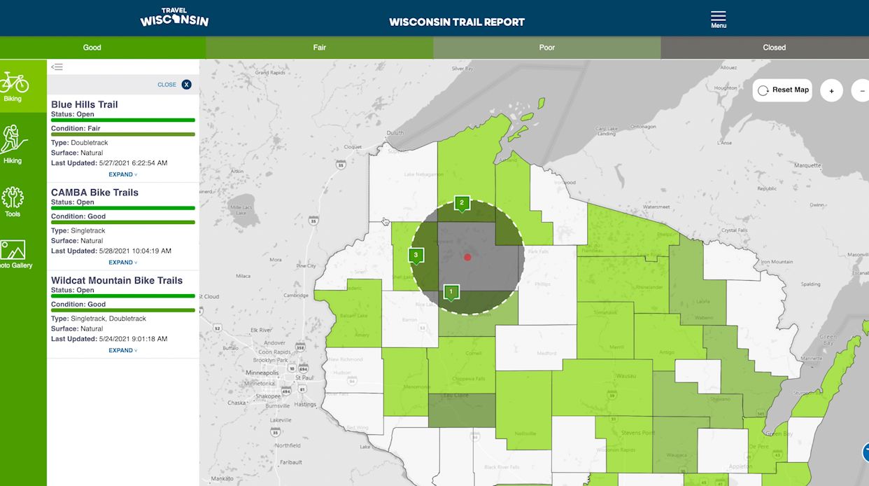
"The features include local weather widgets, nearby activities, attractions, dining and lodging, and then it has photos of the trail network and nearby facilities," said Monroe Brown.
Never been to Rusk county and want to explore some trails? The map is a good place to start.
"Reporters provide an update after major weather event that might impact trail conditions or weekly before the weekend, so the people know where and how they might want to go experience the trails," said Monroe Brown.
Sixty trail reporters across the state will provide updates on about 70 hiking and biking trail networks.

"Reporters are a mix of hiking and biking enthusiasts," said Monroe Brown. "They’re members of clubs, park friends groups, land managers, destination marketing organizations."
Pam Seidl, Executive Director of the Fox Cities Convention and Visitors Bureau, takes regular walks with her dog on the Fox Cities Trestle Trail and reports conditions for the website.
"The Fox Cities Trestle, in the winter, is generally maintained and a lot of fat tire bikers and walkers like it but if it’s not plowed or if we get a big snowstorm, sometimes it takes the municipalities a day or two to get it fully plowed," said Seidl.
You won’t find every trail in the state. Right now, the map focuses on larger, easily accessible trail networks.
"Our goal is to really report on the main trails that can be accessed by many different users and also have parking adjacent to them so people who have to drive in, can park and then walk or use the trail," said Seidl.
Seidl sees the reports as a helpful tool for a wide variety of outdoor enthusiasts.

"It’s being used by bike clubs, running clubs, walking clubs, groups traveling together or just individuals and families."
Whether you’re trying to avoid a muddy mess or find a smooth riding surface for beginning bikers, a couple of clicks on the website may lead to fewer headaches and more fun on the trails.