


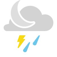
A warm front will continue to lift north across the region tonight. Areas along and north of I-70, closer to the front, will see the best chances for thunderstorms this evening into the overnight.
While widespread severe weather is not expected, an isolated storm could become strong to severe with hail and gusty winds. Otherwise, it stays mostly cloudy with lows in the upper 50s.
With the warm front north tomorrow and the cold front west, we’ll see calm conditions for much of the day. Thanks to breezy southwesterly winds, temperatures will rise into the lower 80s as sunshine returns.
Clouds will build back into the region tomorrow night, as a weak disturbance crosses the region. Overnight lows will stay close to 60 with a few spotty showers.
Ahead of the cold front on Saturday, we’ll see mostly cloudy skies with a few showers and rumbles of thunder breaking out. Temperatures will rise into the upper 60s.
The better chance for thunderstorms won’t arrive until Sunday as the cold front crosses. There is the potential for severe storms with the frontal passage, but it is too far out for timing and details. We will continue to monitor and provide updates.
 |
Showers and storms Low: Upper 50s; Winds: Southwest at 10 to 15 mph High: Mid-70s; Winds: Southwest at 15 to 20 mph Hour-by-hour forecast | Share your weather photos | Turn on weather notifications | Radar |