


Tsunamis are synonymous with earthquakes. These large destructive walls of ocean water have been documented erasing villages and towns along shorelines.
One of the most intense tsunamis in recent memory occurred in 2004, where an earthquake caused a wave that slammed into 11 countries, from Thailand to Africa. It traveled over 3,000 miles and caused over 225,000 fatalities.
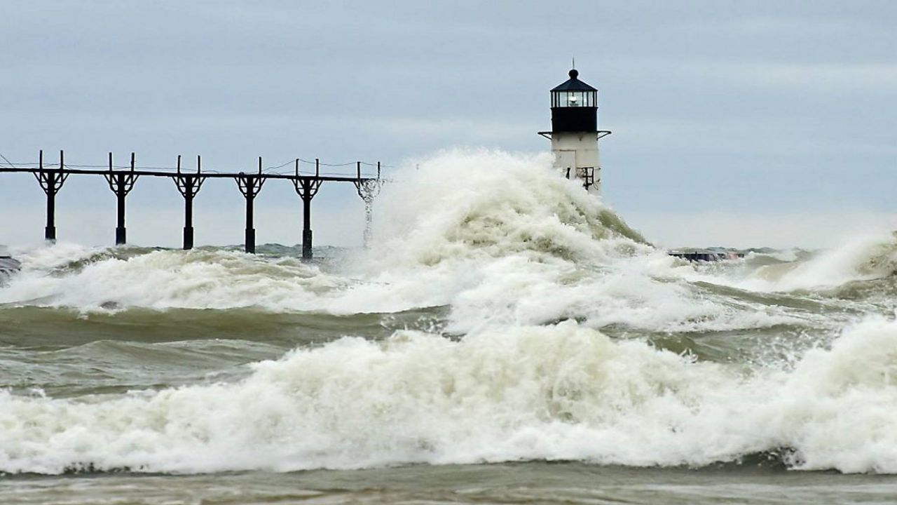
While much less destructive in nature, meteotsunamis are still a force to be reckoned with — and something we have seen even here in Ohio along the Lake Erie shoreline!
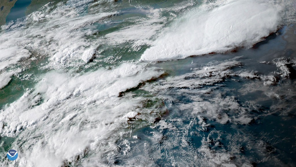
Meteotsunamis are large waves triggered by intense changes in air pressure and winds along a rapidly moving front or line of thunderstorms. With a shallow bay, continental shelf, or inlet, these waves can slam onto the coast and cause damage.
What's challenging about identifying a meteotsunami is that it can often be difficult to distinguish it from storm surge or a seiche, which is a standing wave oscillating in a body of water.
To help determine if a large wave is indeed a meteotsunami, scientists often look toward the atmospheric pressure. These sudden changes in pressure can last just a few minutes and can quickly heighten waves.
When severe weather, or a strong front, is moving at the same speed and direction (often toward the coast) of waves, it can greatly amplify their height.
Amplifying the danger and destruction is the depth, or rather lack of, of the water near the shoreline. Once a wave hits shallow water, it slows down but increases in intensity and height.
This is why forecasting meteotsunamis isn't limited to oceans and large bodies of water.
In fact, there have been some notable meteotsunamis reported right here in Ohio. On May 27th, 2012, a seven-foot wave on a beach, right near Cleveland, damaged boats and caused minor injuries to a few beach-goers.
Just last year, on April 14th, 2019, a twelve-foot meteotsnuami hit Madison Township Park Beach, causing damage and leaving debris all along the shore.
On average, over 100 meteotsunami events may occur along the Great Lakes each year. Although, forecasting them remains difficult.
While still in the early stages of development, a pilot project has launched, thanks to the efforts of researchers and the National Oceanic and Atmospheric Administration.
Through this program, a network of 29 sensors will monitor the changes in pressure that can occur with fast-moving systems along the lake. The real challenge lies in real-time data collection, which this program aims to achieve.
Currently, many barometric-pressure sensors only record readings once every 10 to 15 minutes.
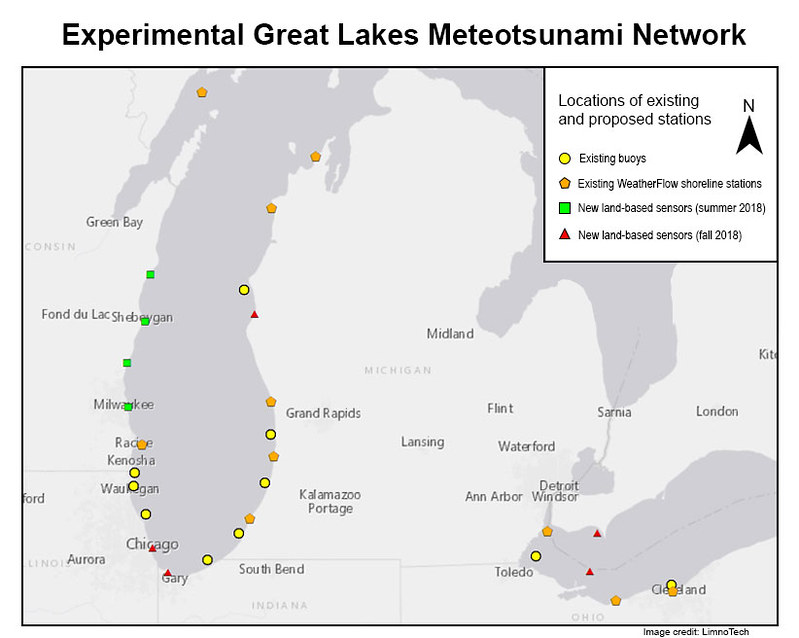
These new sensors along the coast, and on buoys out on the water, are key to helping meteorologists forecast when meteotsunamis occur.
The hope is that, in the future, a complete warning system will be available for the more than 28 million people living along the shorelines of the Great Lakes.