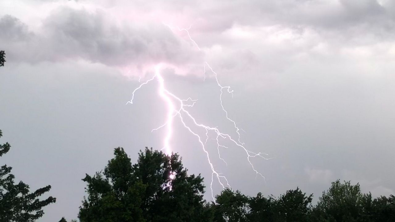


A large cold front will cross the St. Louis area Wednesday afternoon, bringing the chance for showers and thunderstorms. Some of those storms could become severe, producing tornadoes, damaging winds and large hail.
Another round of active weather will impact the St. Louis area midweek. The big cold front will cross the region Wednesday afternoon, triggering showers and thunderstorms. Some storms could become strong to severe, producing tornadoes, damaging winds and hail.
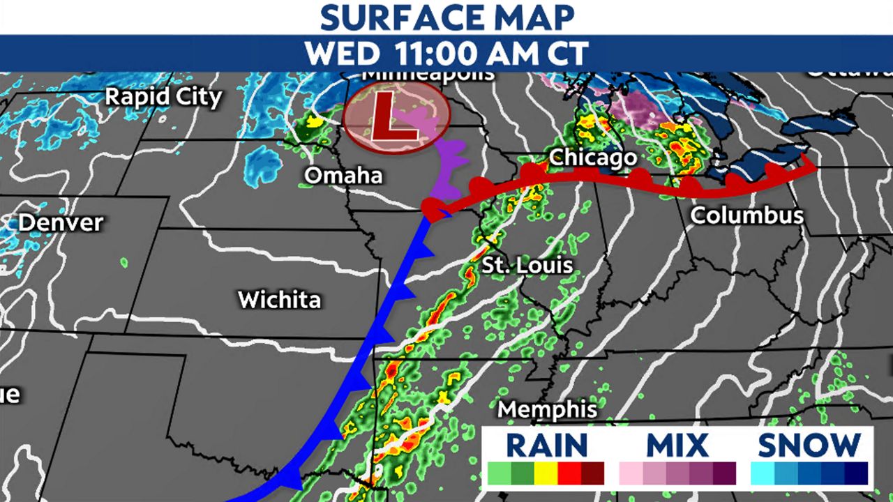
A cold front will cross the Show-Me State on Wednesday bringing the potential for severe thunderstorms. The main threats in the St. Louis area include damaging winds, large hail and tornadoes. However, storms in the morning could limit severe chances for the afternoon.
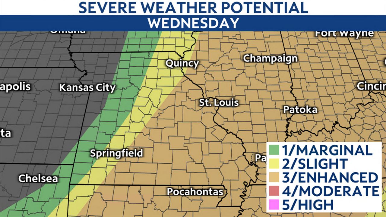
The Storm Prediction Center has issued a level 3/5 severe threat for the region on Wednesday afternoon. Strong to severe storms could produce tornadoes, damaging winds and large hail.
However, the threat is contingent on what happens in the morning. Storms ahead of the cold front will move from western Missouri across the state and arrive in the St. Louis metro by daybreak. If these storms hold together it could limit the severe chances for afternoon storms to develop.
Morning storms, if they hold together, will impact the region from 7 a.m. until about 10 a.m. This round does not pose a high severe threat but could produce some small hail and gusty winds.
If storms along the front can redevelop for the afternoon round, the ingredients are there for a higher severe potential, but this is contingent on the redevelopment. This past Sunday, there was the potential for big storms but the ingredients shifted further east and the metro encountered non-severe thunderstorms.
Note, while there is the potential for a storm to produce severe weather, not everyone will see tornadoes, large hail and damaging winds. However, it’s important to prepare ahead of time and make sure you have your weather notifications enabled.
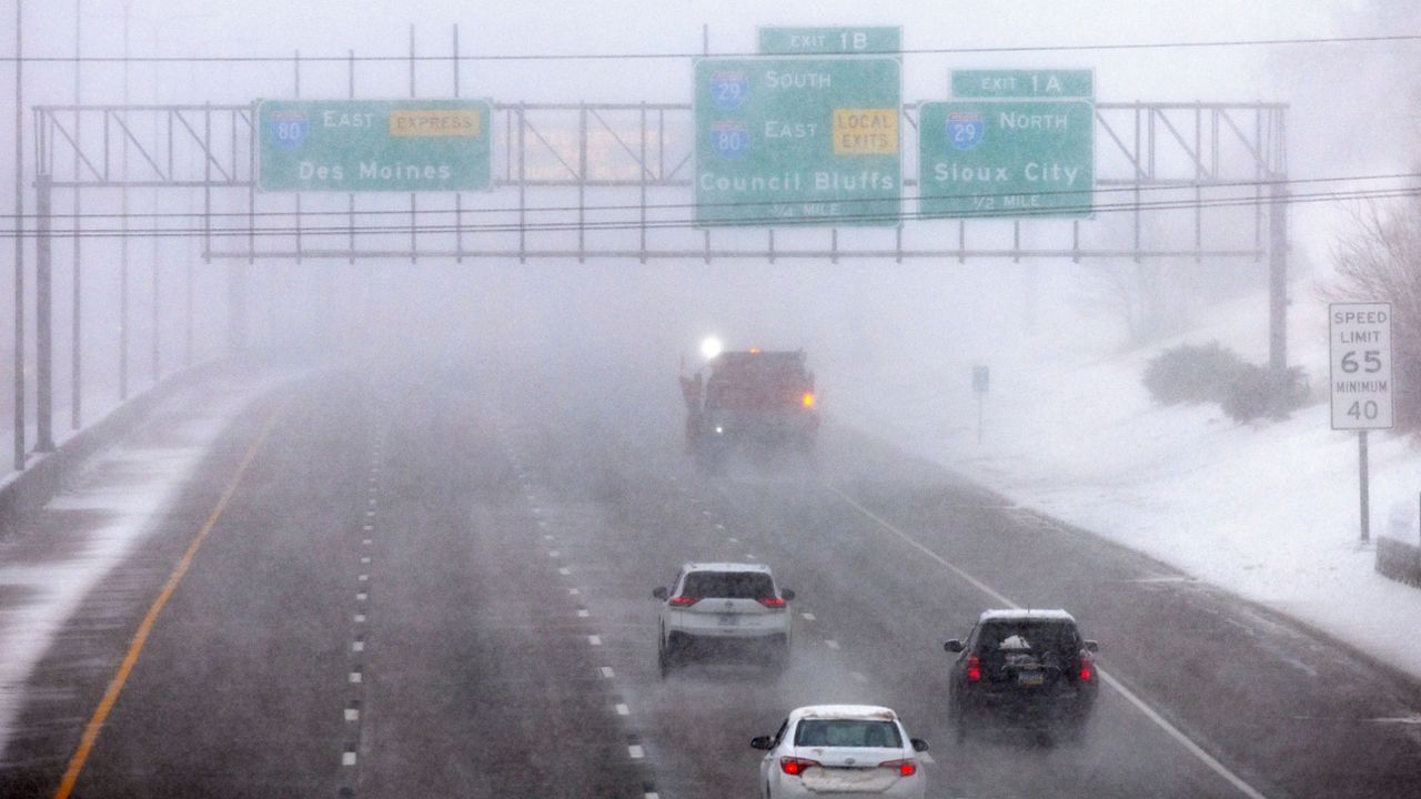
Cooler air will move into the St. Louis metro area behind the cold front. Highs on Thursday will only reach the upper 50s to lower 60s.
Wednesday's front stalls to our south on Thursday before lifting back to the north. This will bring the potential for more wet weather late week, but no severe weather is expected.
Our team of meteorologists dives deep into the science of weather and breaks down timely weather data and information. To view more weather and climate stories, check out our weather blogs section.